INITIALIZED
Loop All
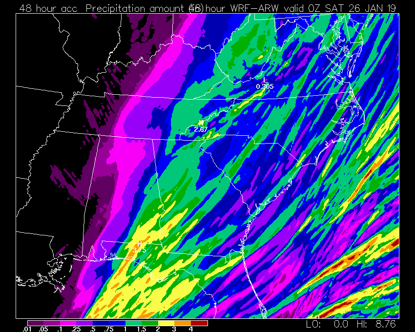
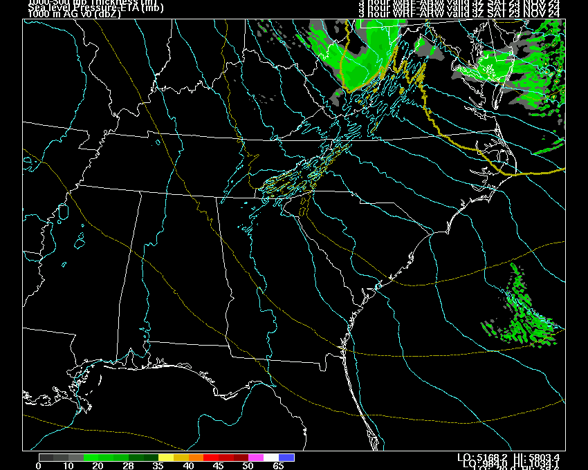
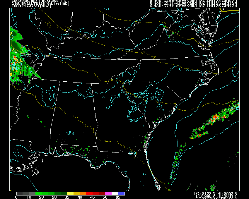
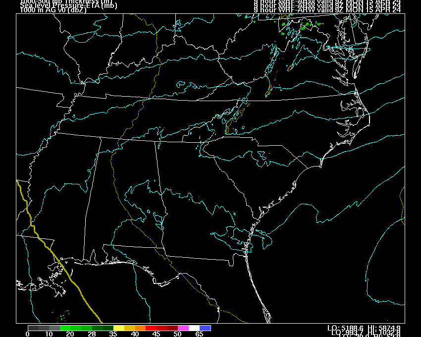
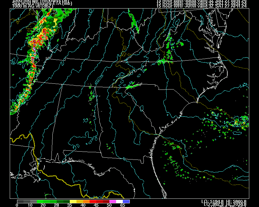
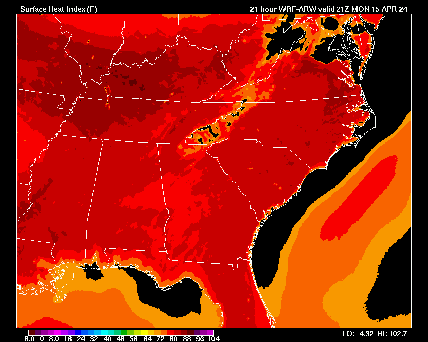
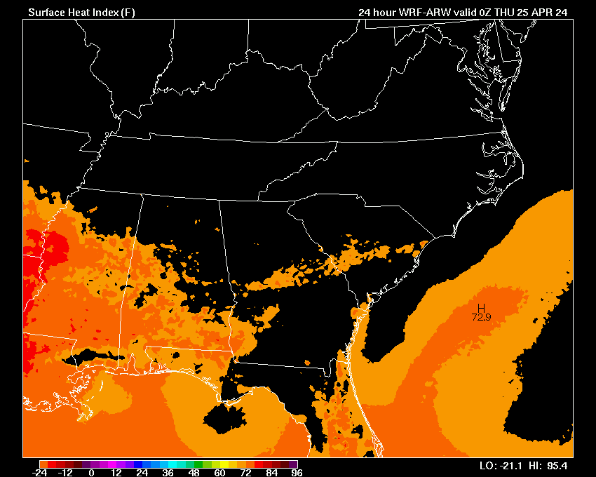
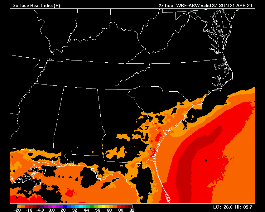
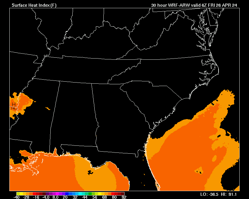
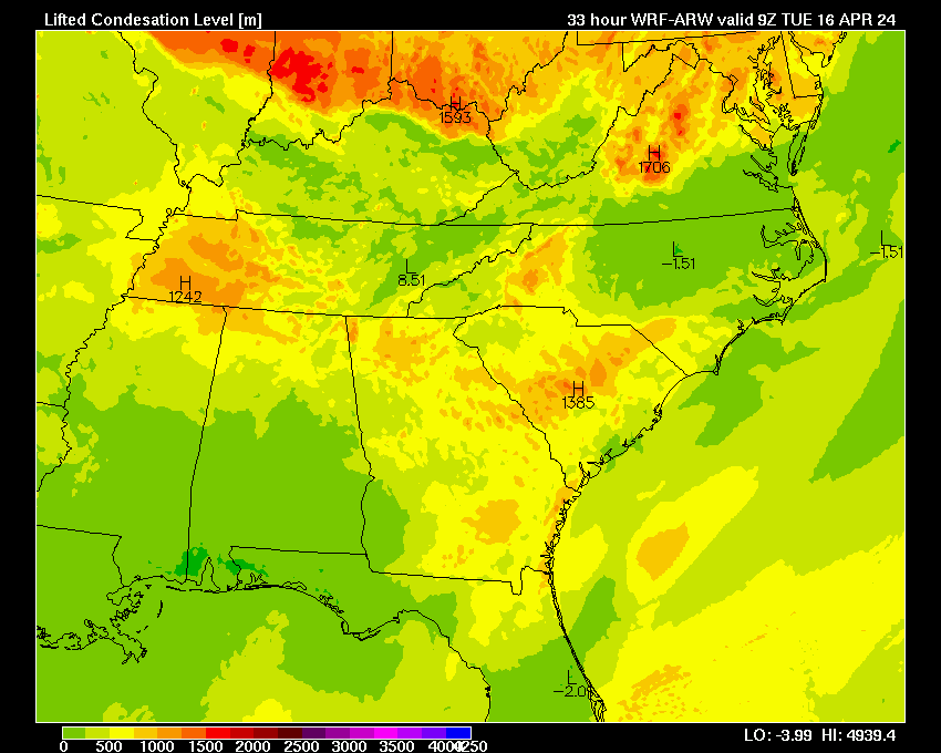
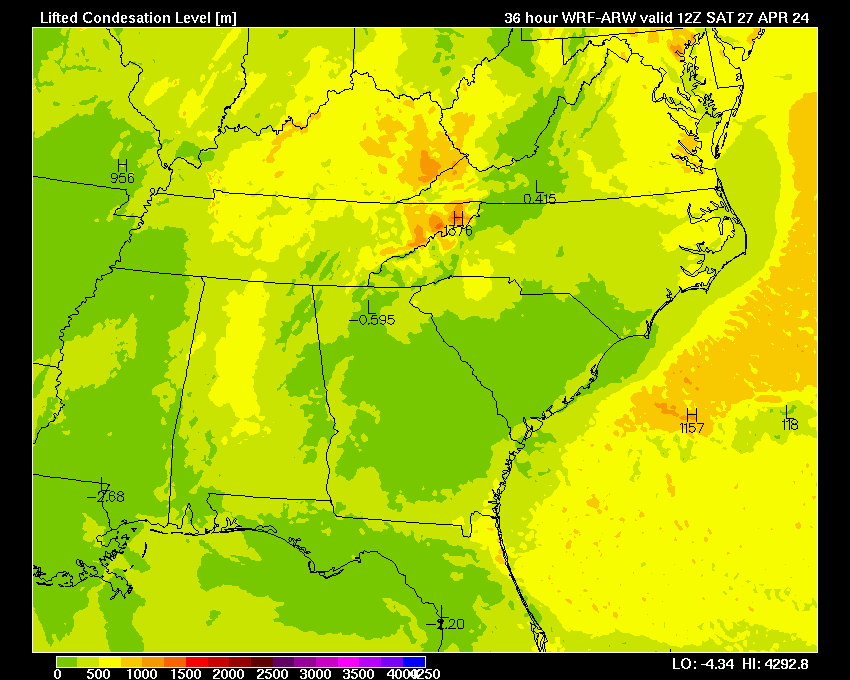
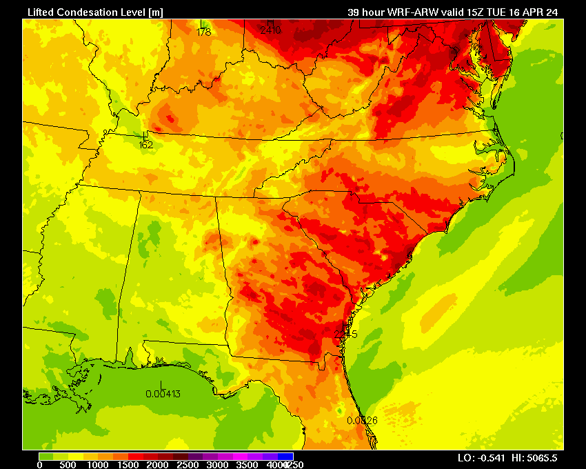
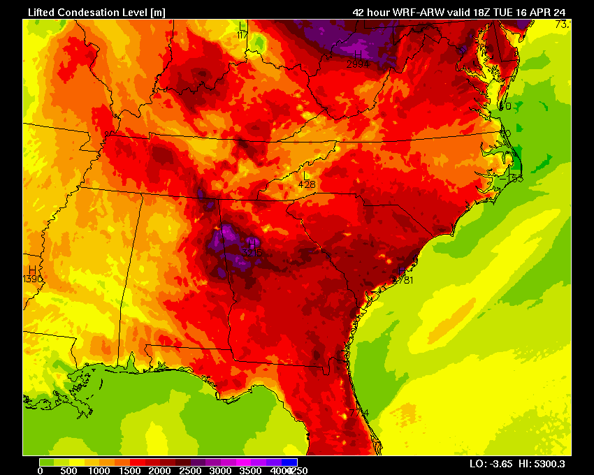
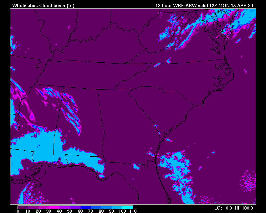
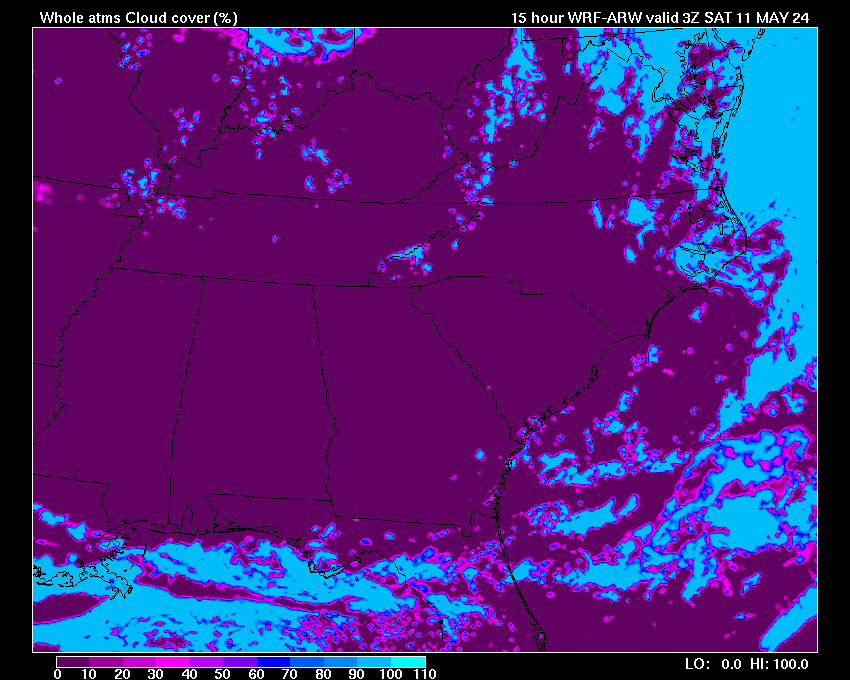
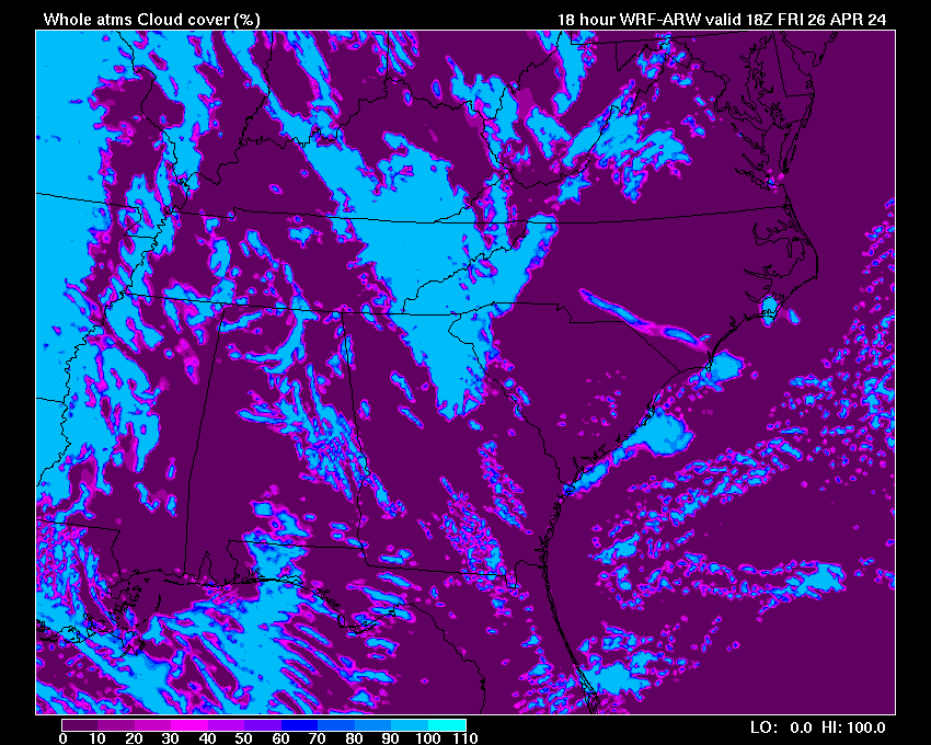
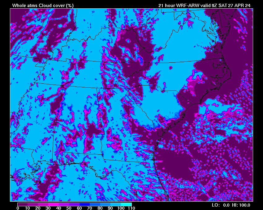
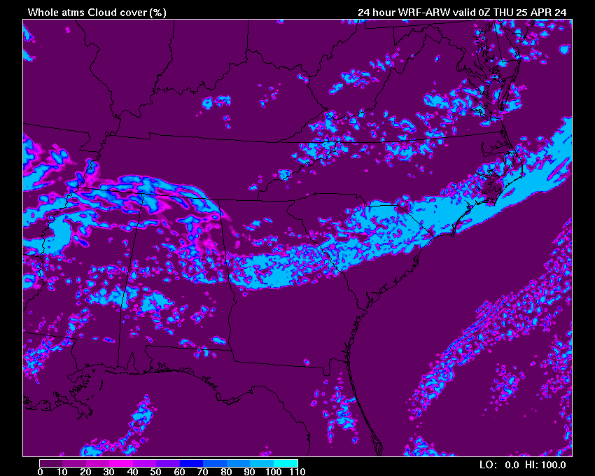
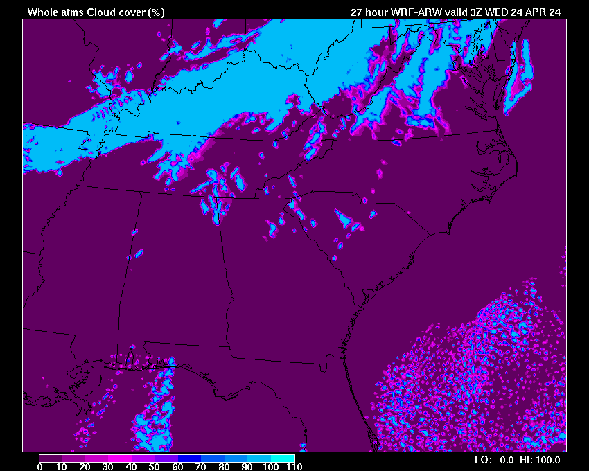
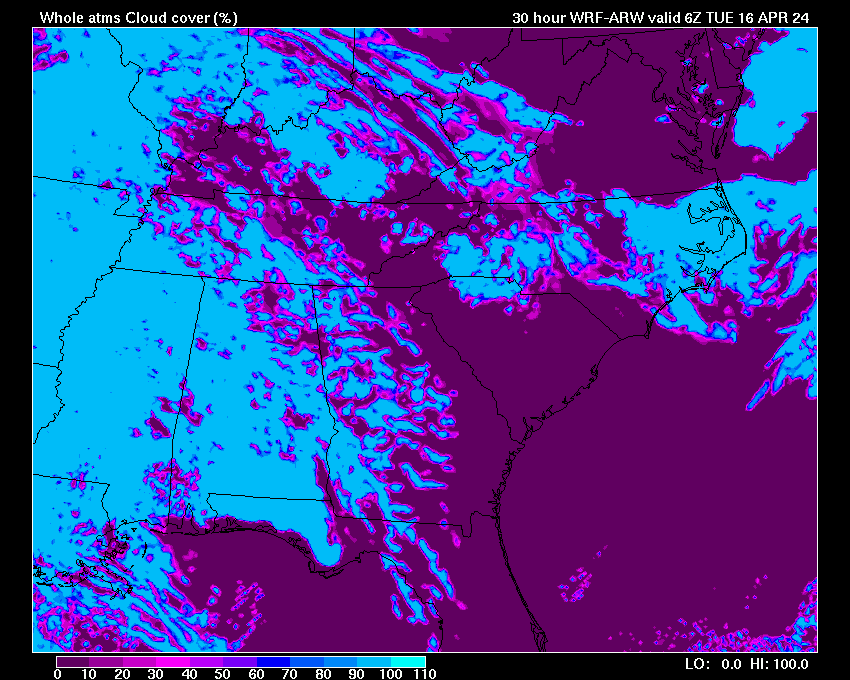
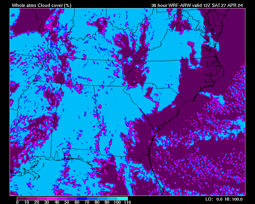
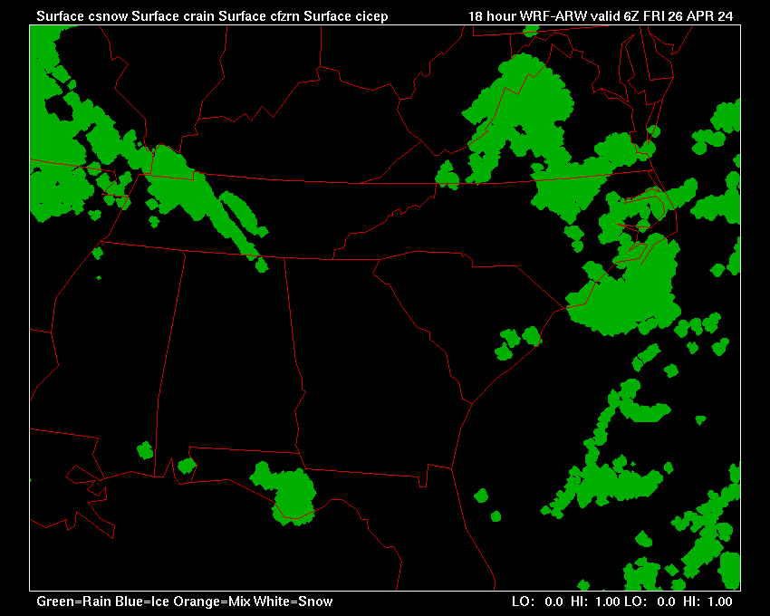
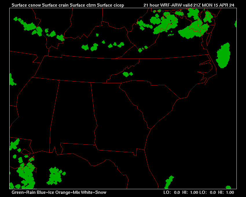
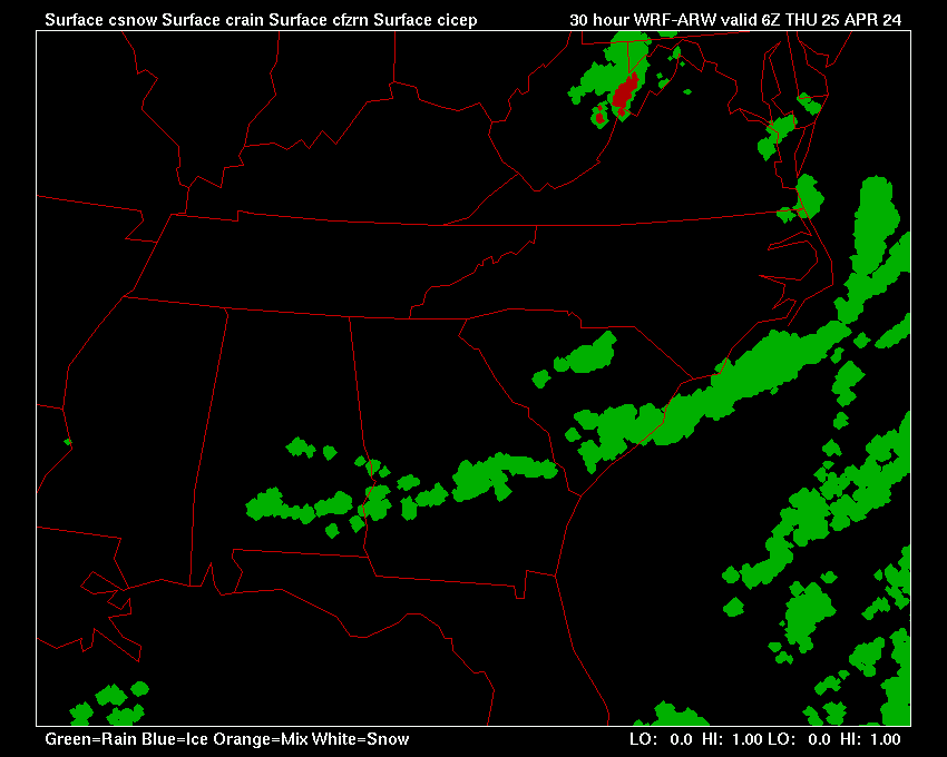
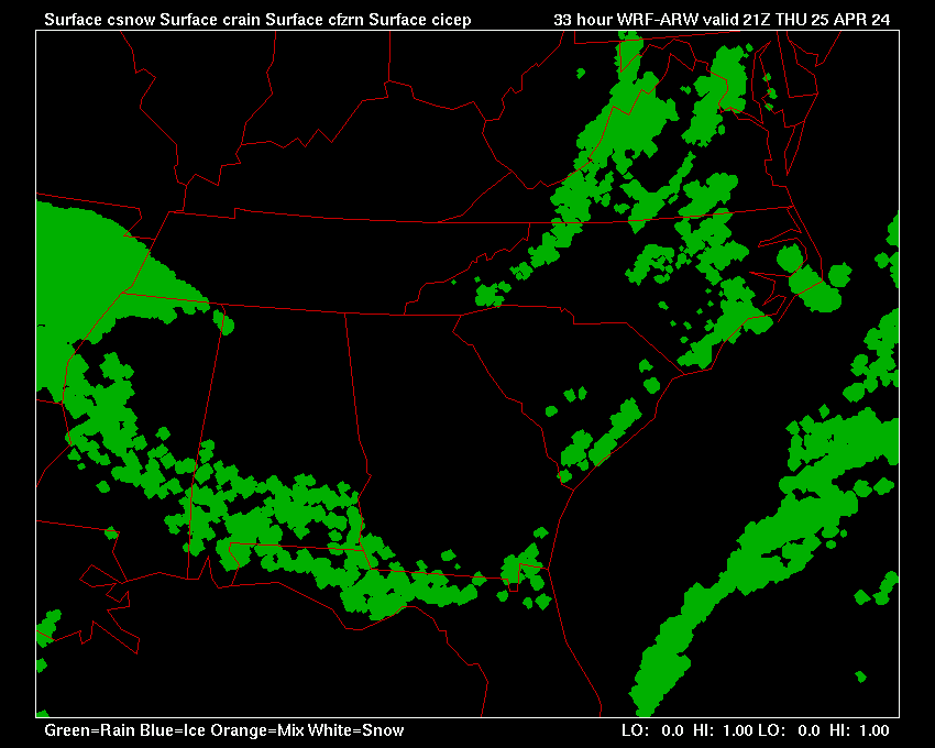
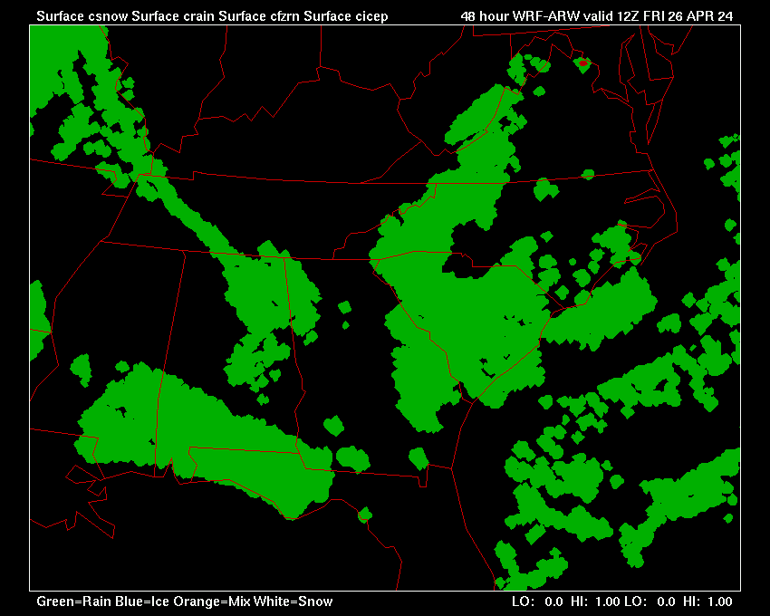
4km WRF-ARW Forecast Model
Southeastern U.S.
U.S. /Southeast / Northeast/South Central/ North Central/ Florida
Forecast Soundings: (Enter any SAO ID)
INITIALIZED |
Loop All |
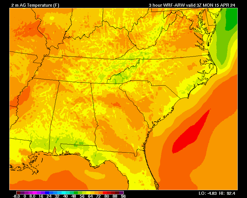
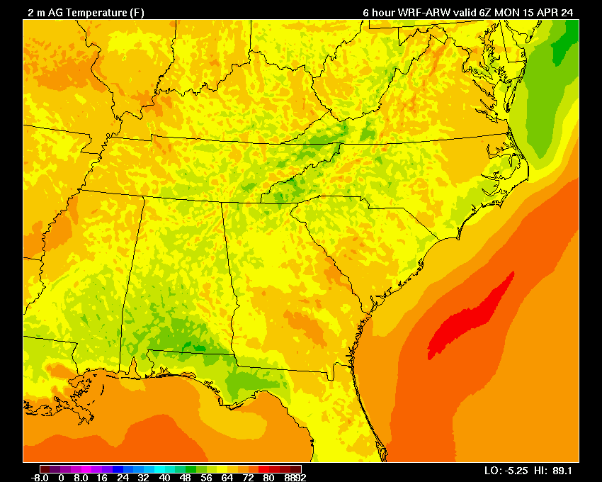
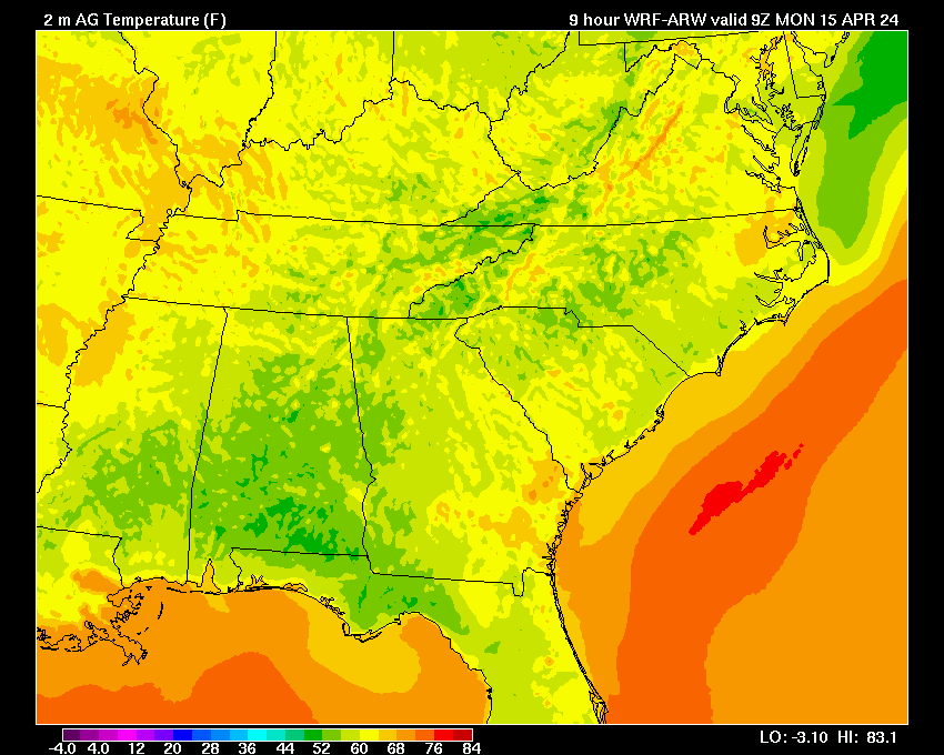
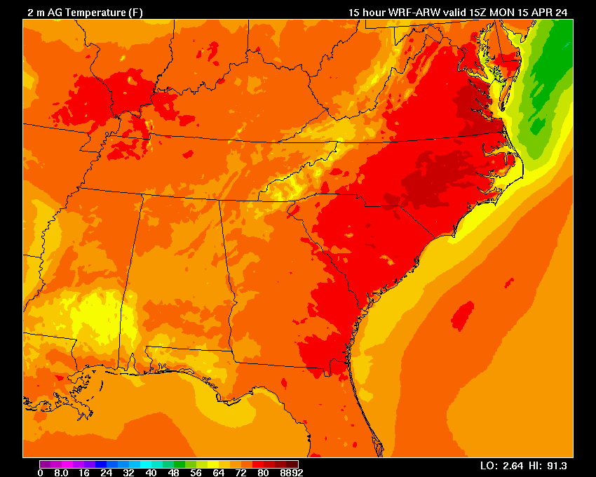
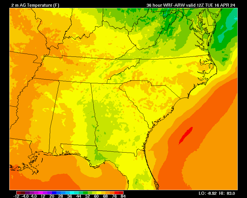
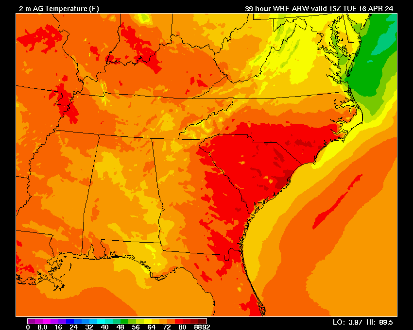
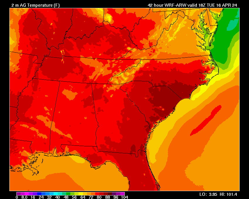
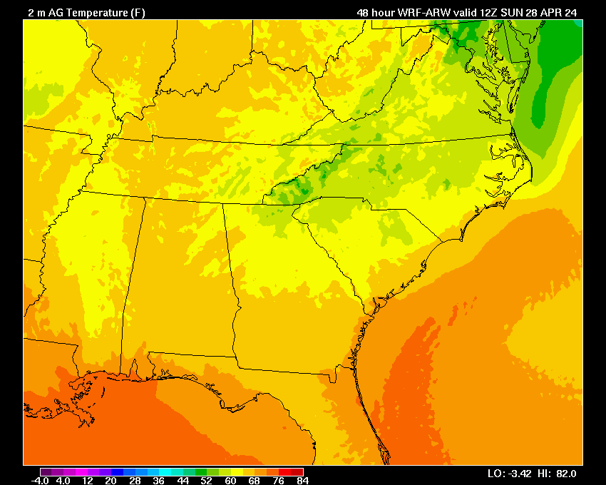
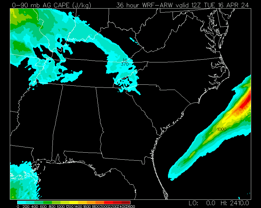
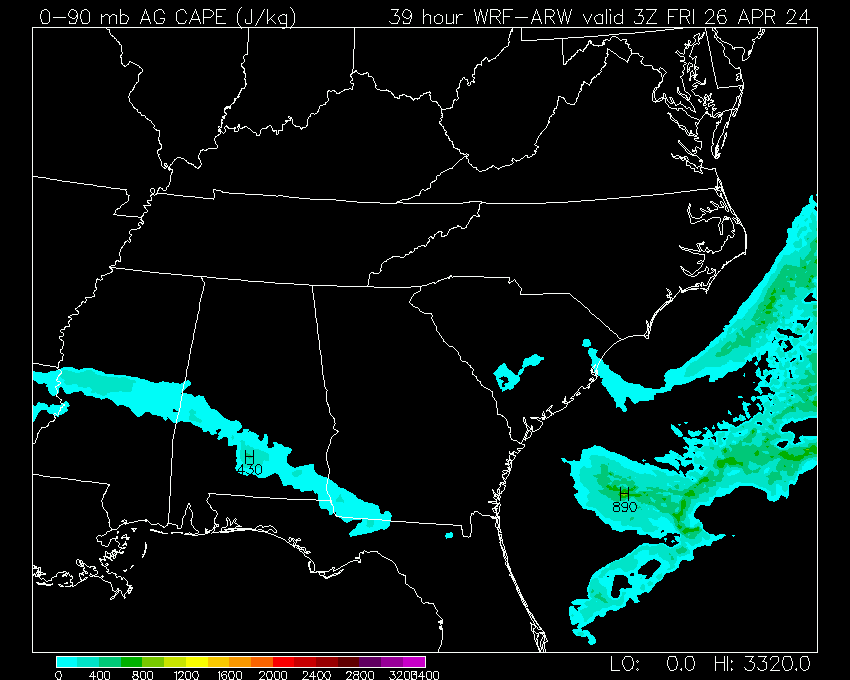
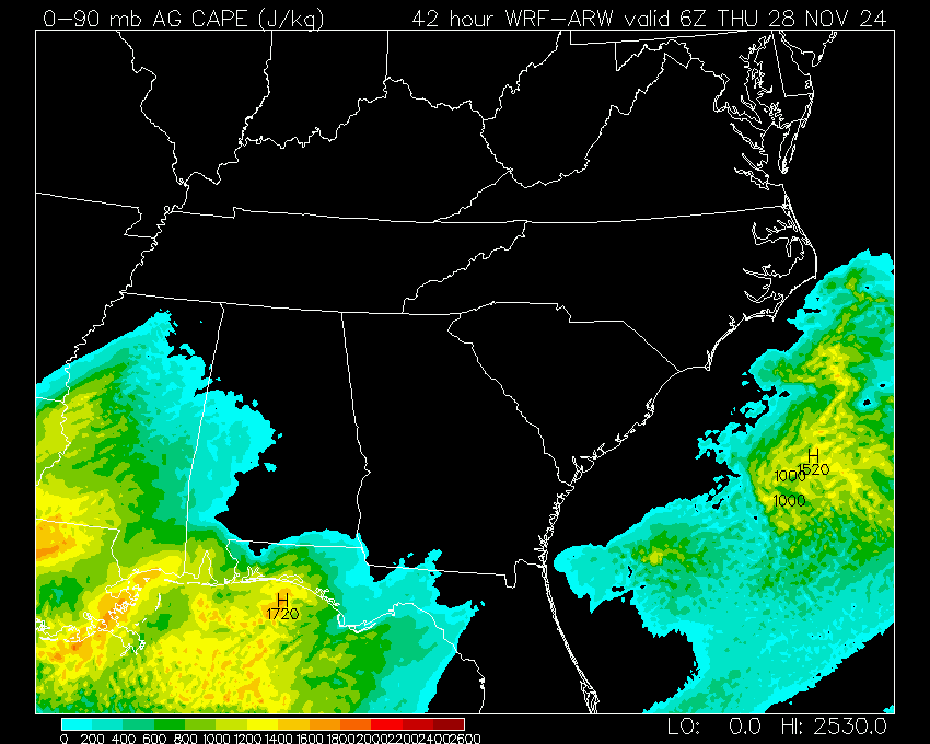
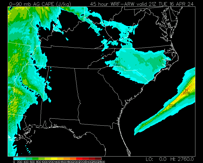
03 | 06 | 09 | 12 | 15 | 18 | 21 | 24 | 27 | 30 | 33 | 36 | 39 | 42 | 45 | 48 |
|
|
3Z/TUE | 6Z/TUE | 9Z/TUE | 12Z/TUE | 15Z/TUE | 18Z/TUE | 21Z/TUE | 0Z/WED | 3Z/WED | 6Z/WED | 9Z/WED | 12Z/WED | 15Z/WED | 18Z/WED | 21Z/WED | 0Z/THU | |
| 03 | 06 | 09 | 12 | 15 | 18 | 21 | 24 | 27 | 30 | 33 | 36 | 39 | 42 | 45 | 48 | ||
| 03 | 06 | 09 | 12 | 15 | 18 | 21 | 24 | 27 | 30 | 33 | 36 | 39 | 42 | 45 | 48 | ||
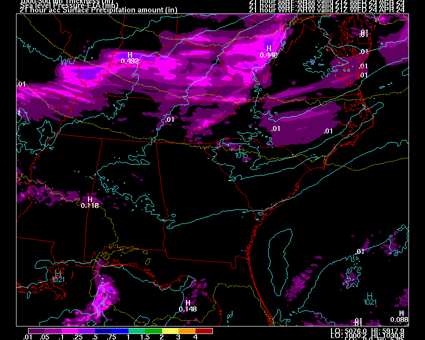
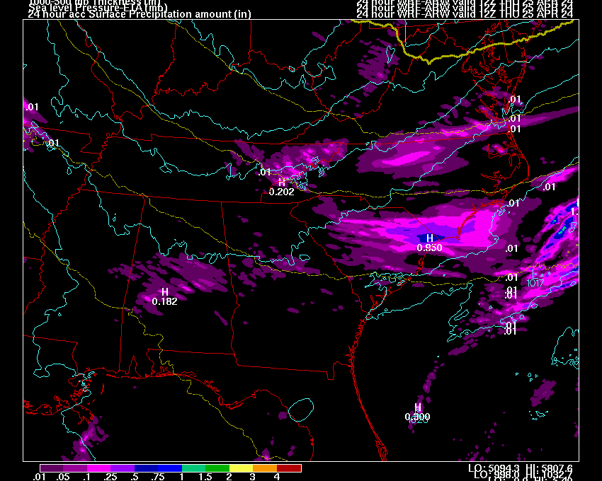
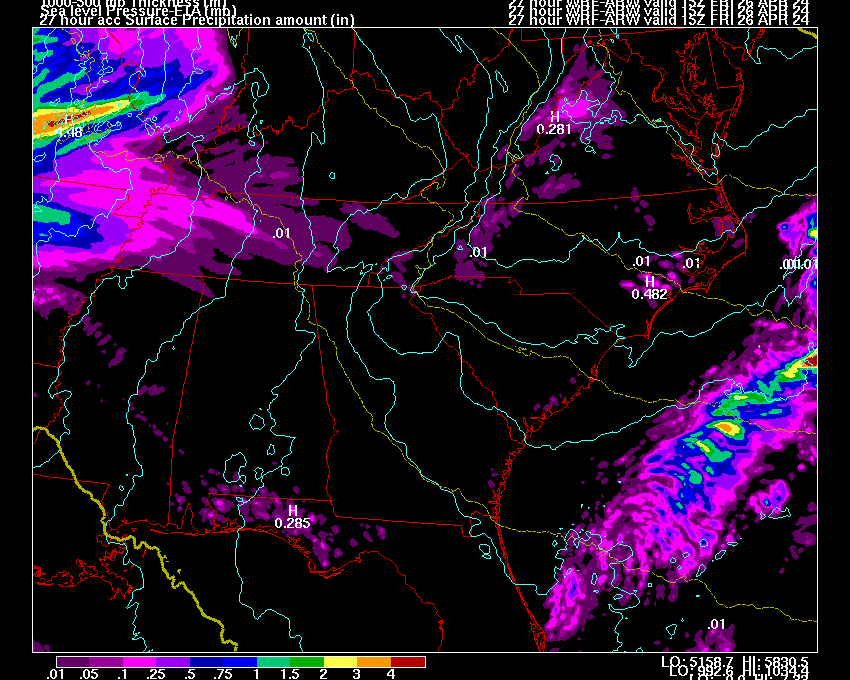
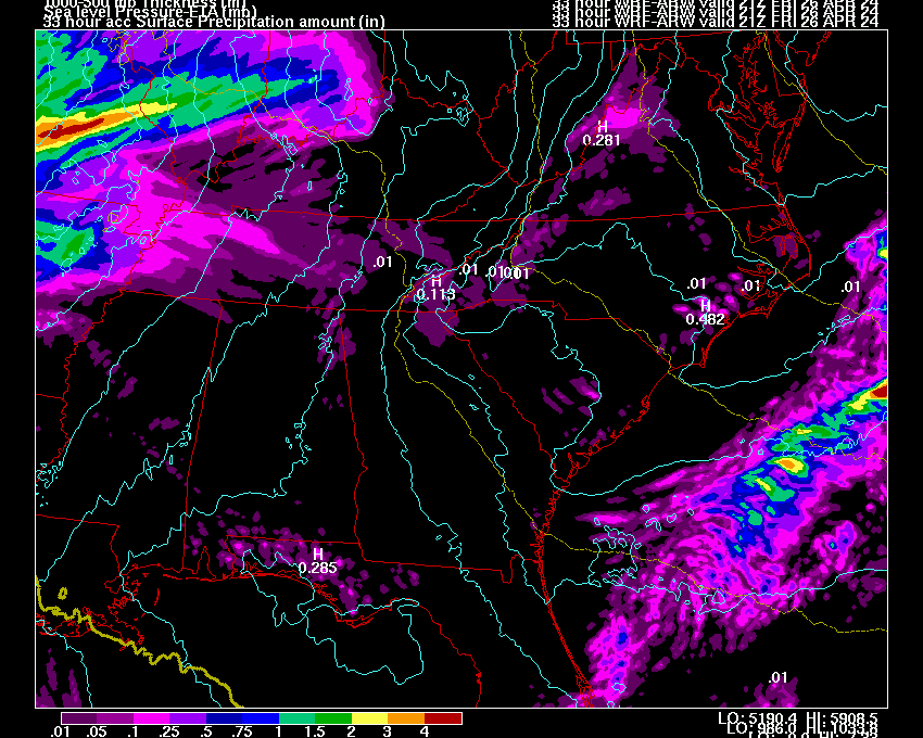
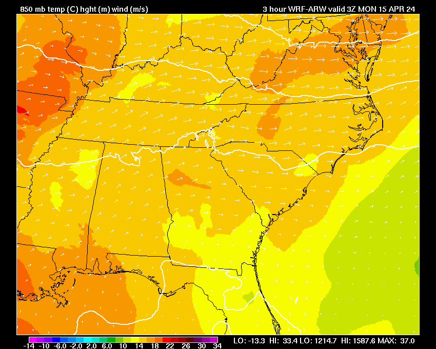
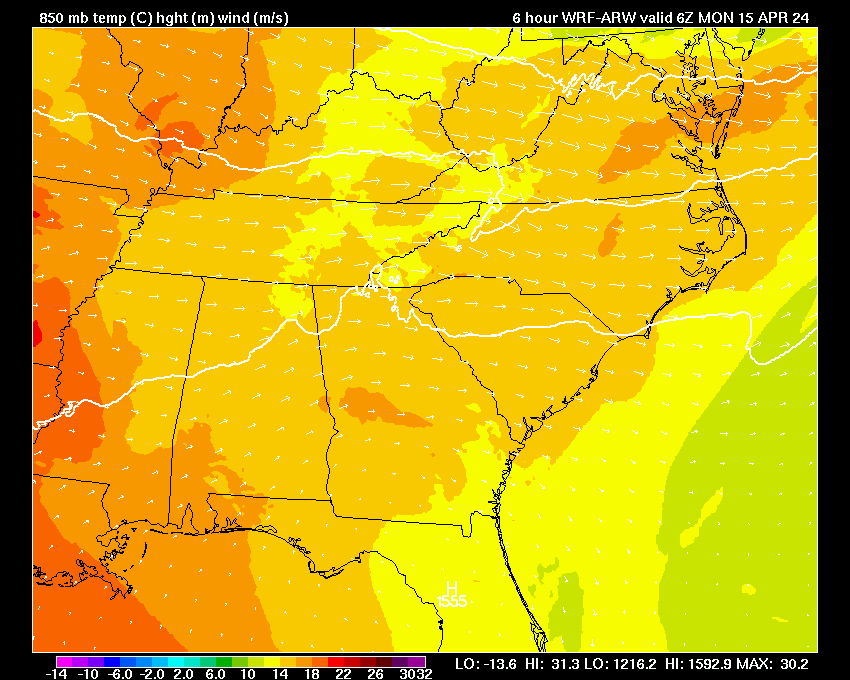
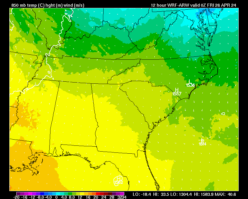
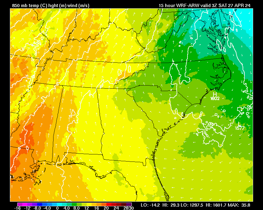
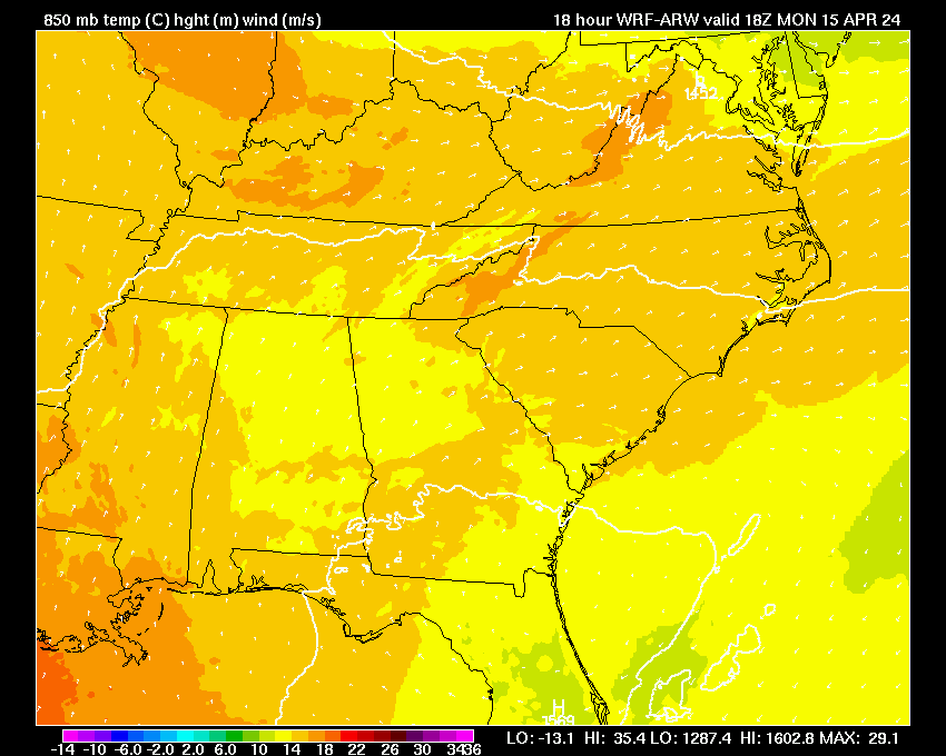
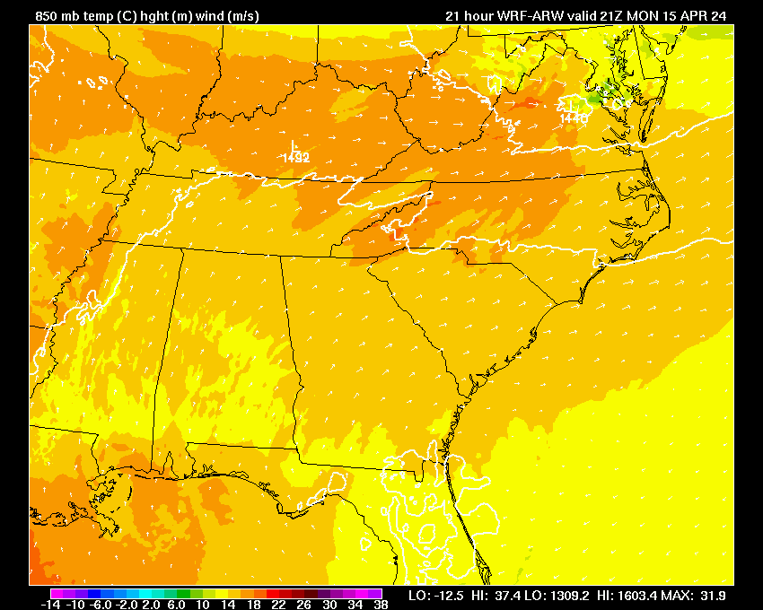
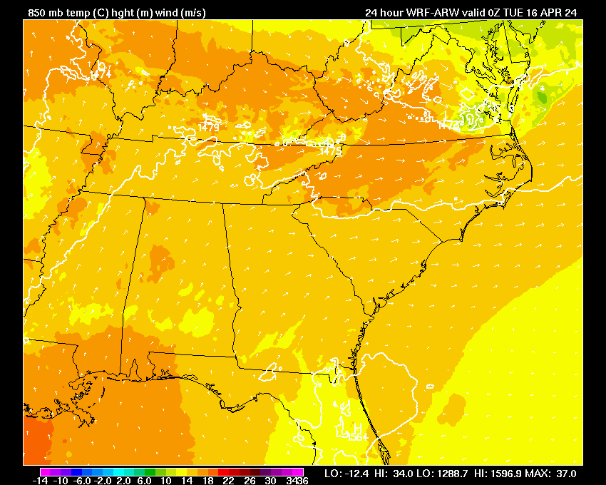
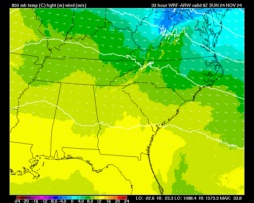
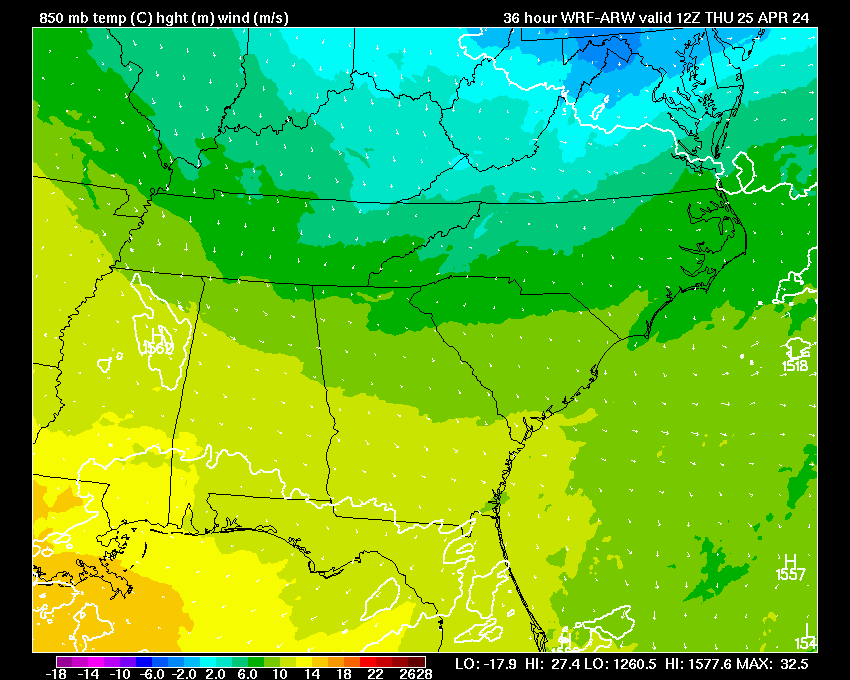
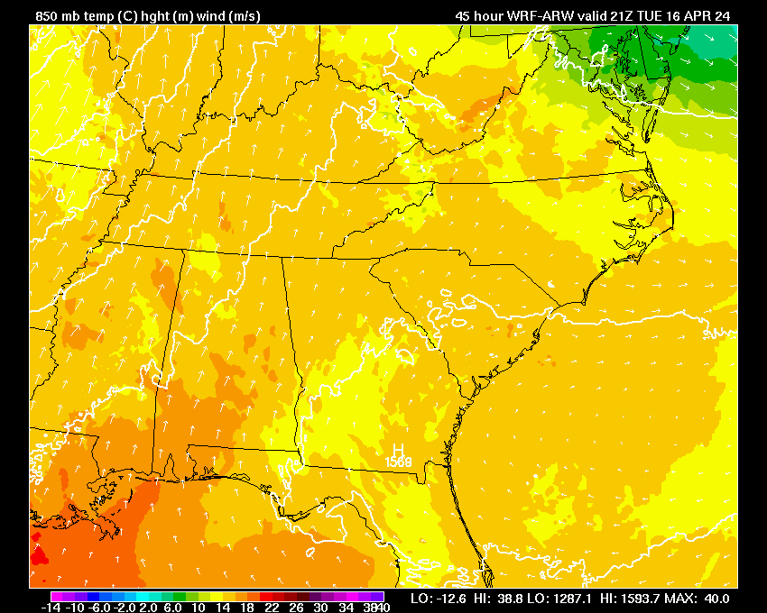
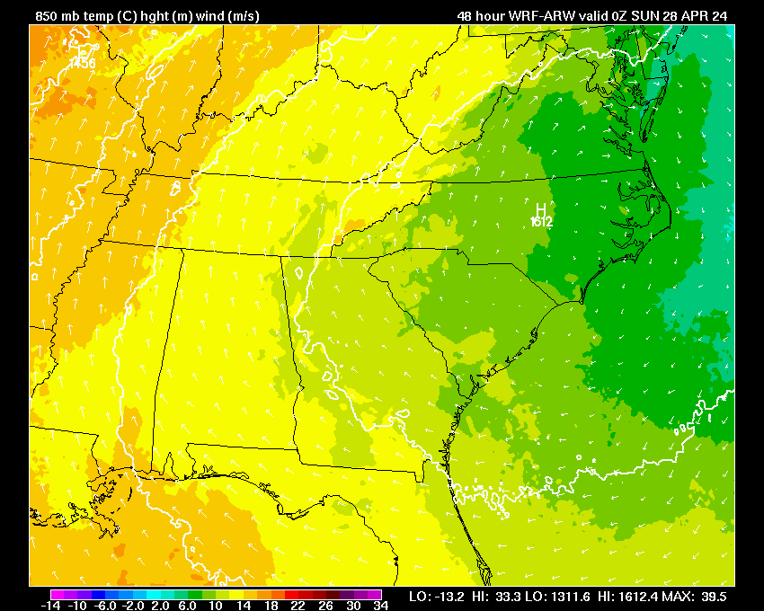
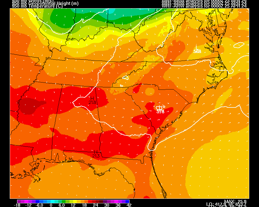
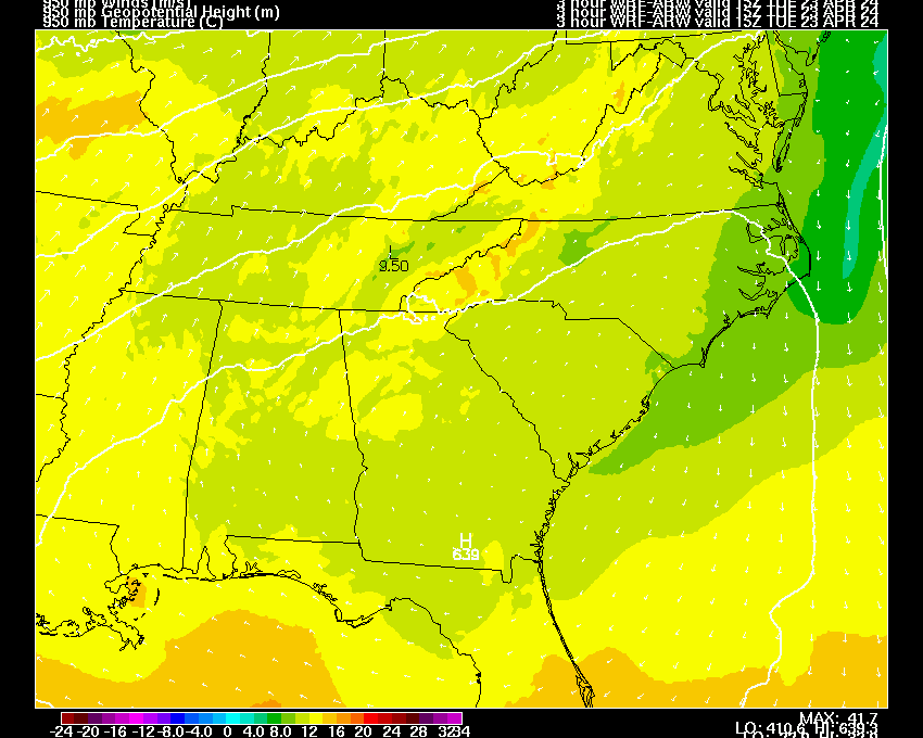
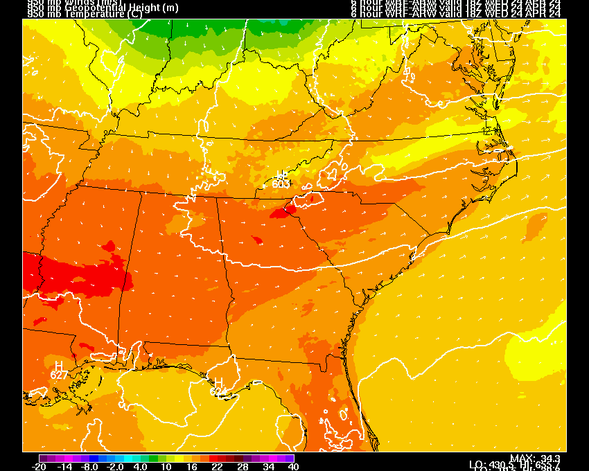
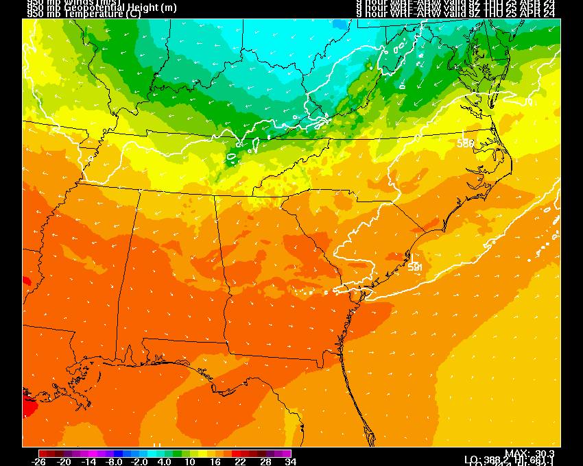
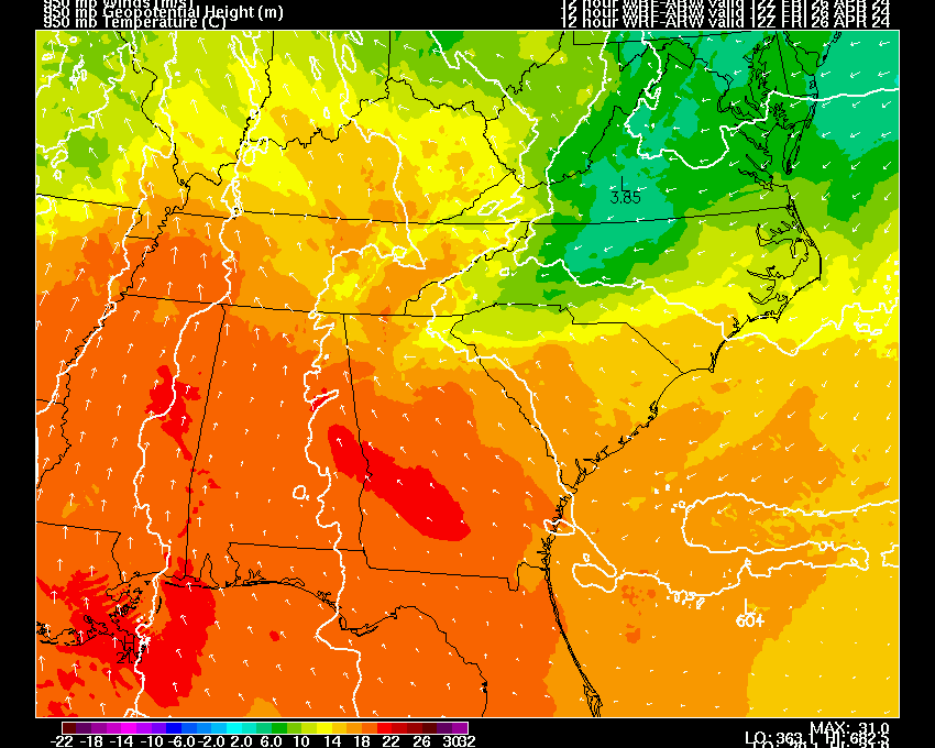
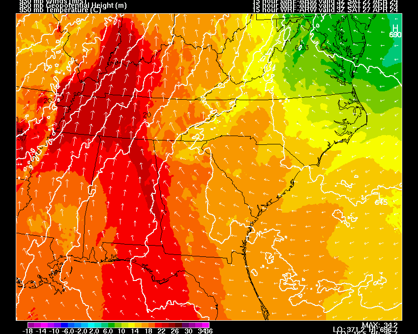
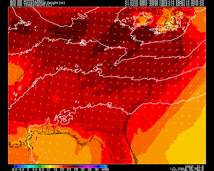
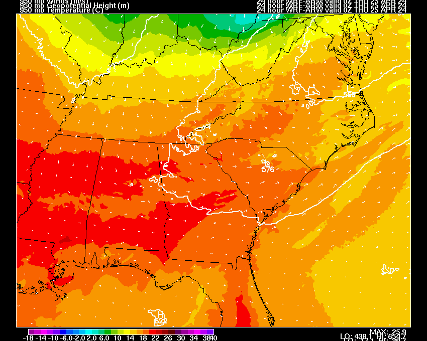
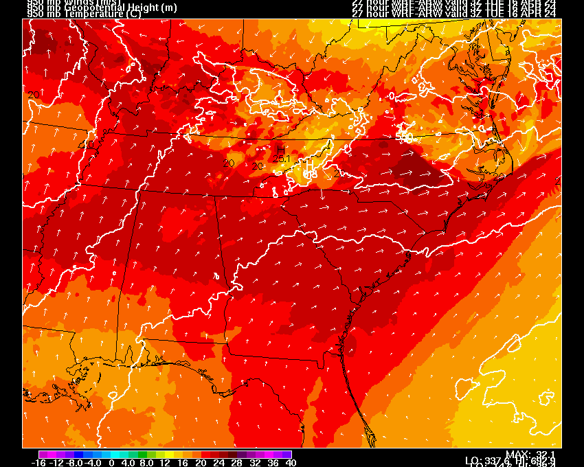
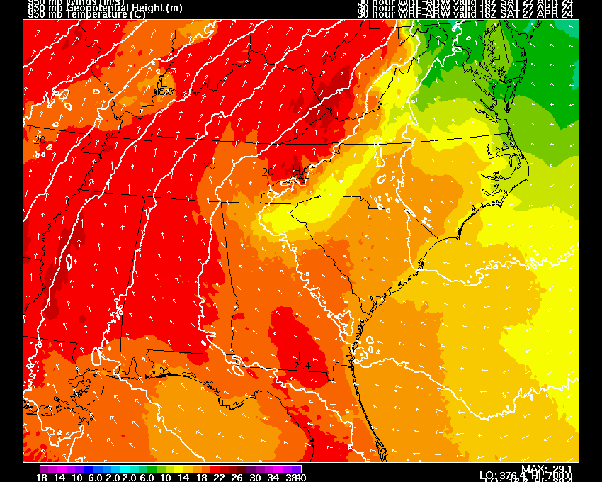
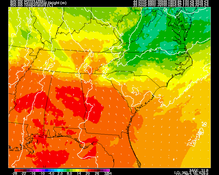
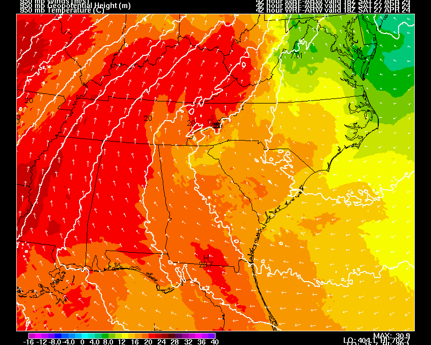
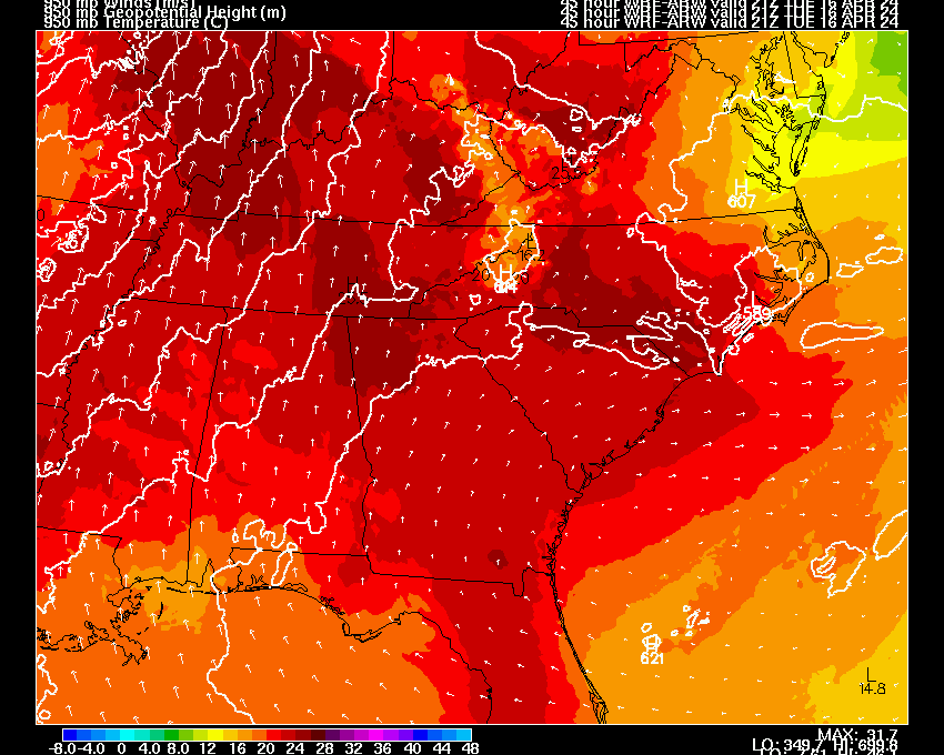
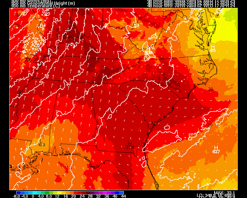
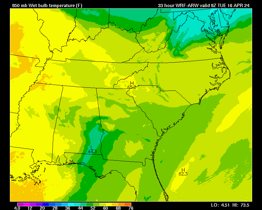
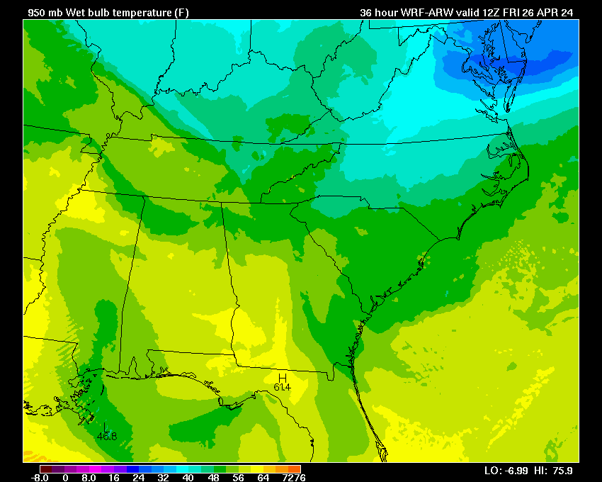
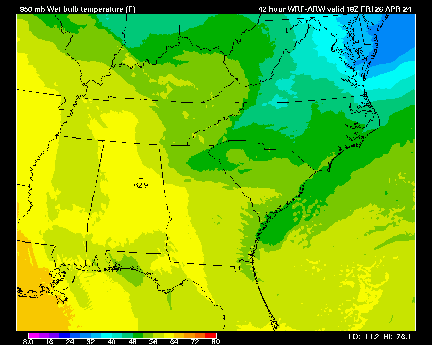
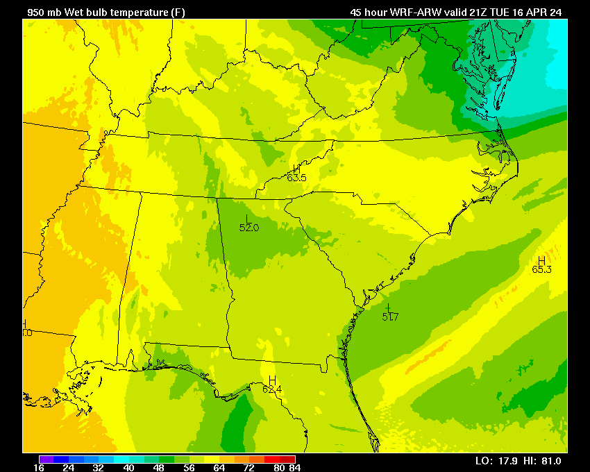
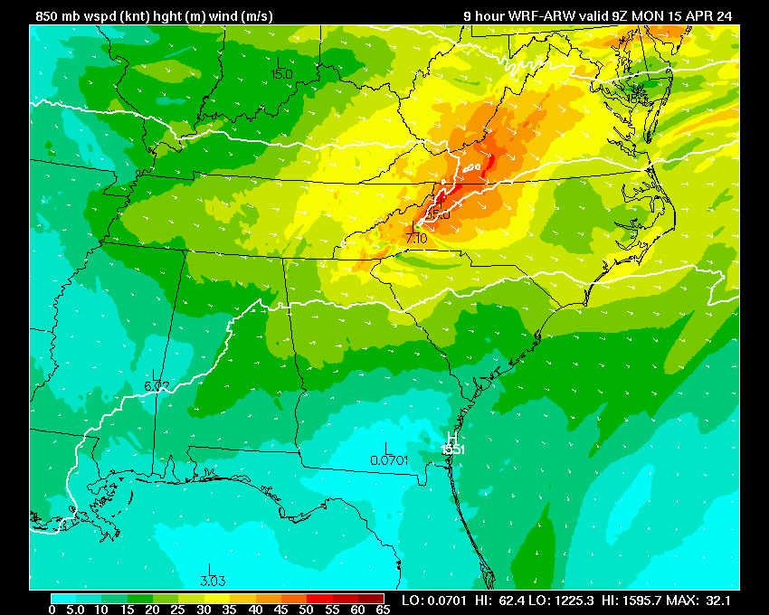
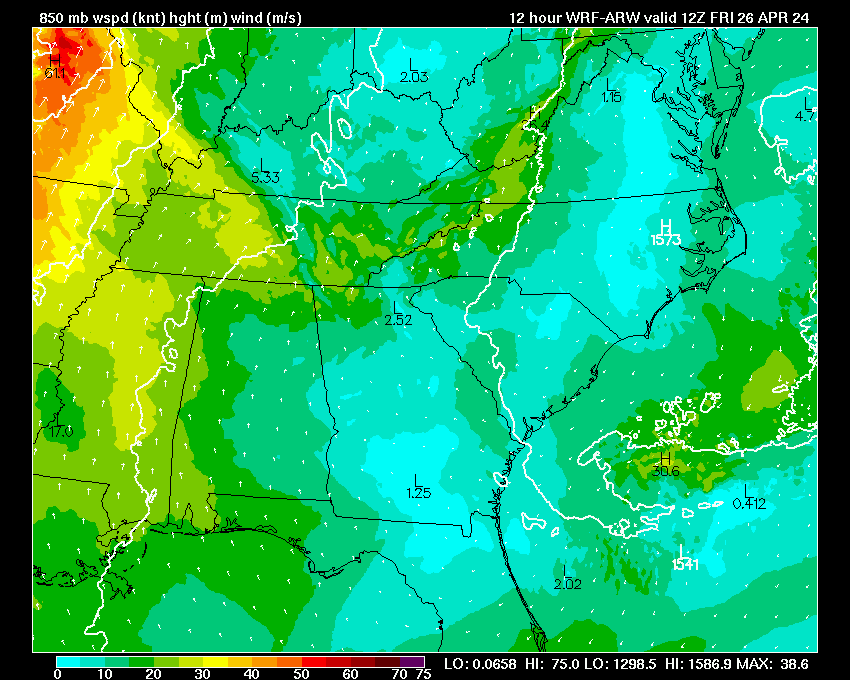
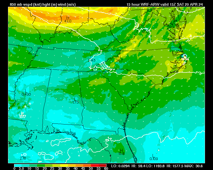
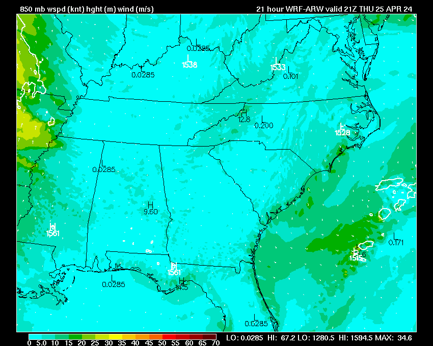
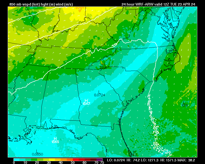
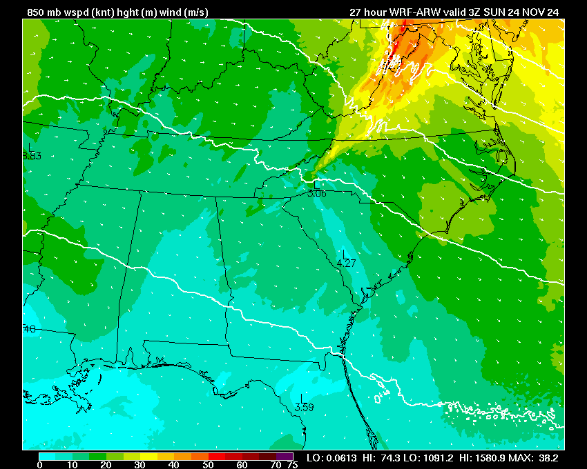
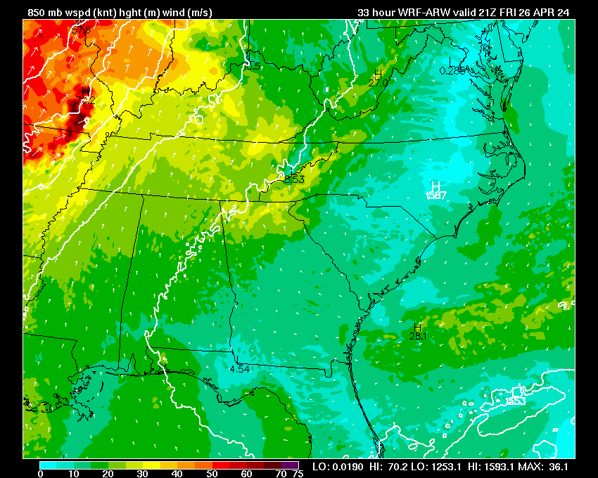
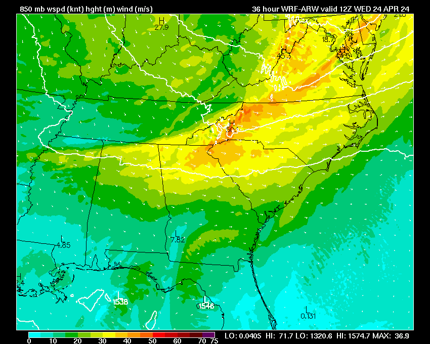
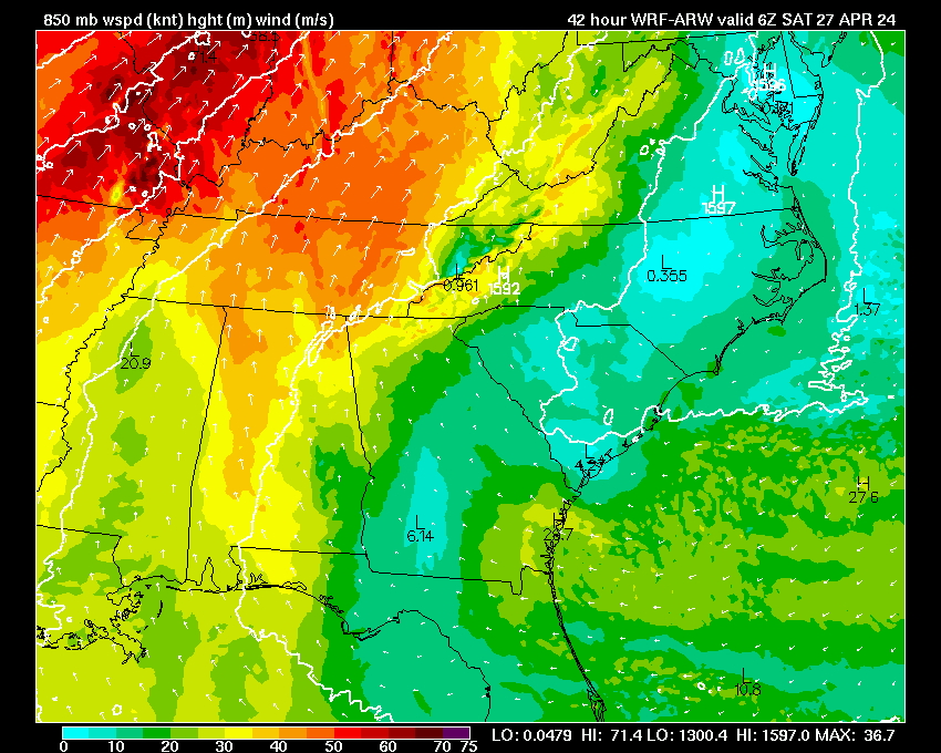
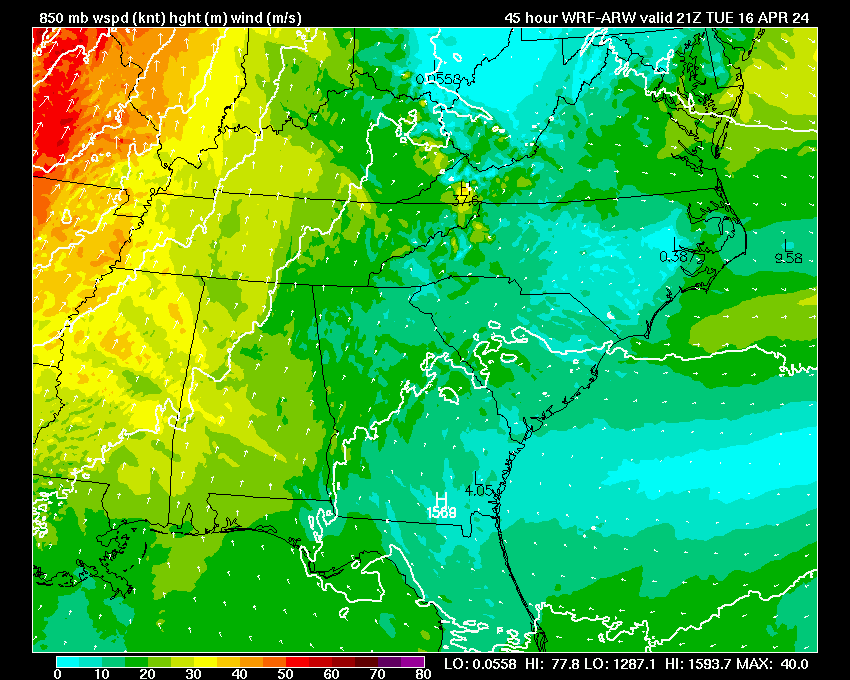
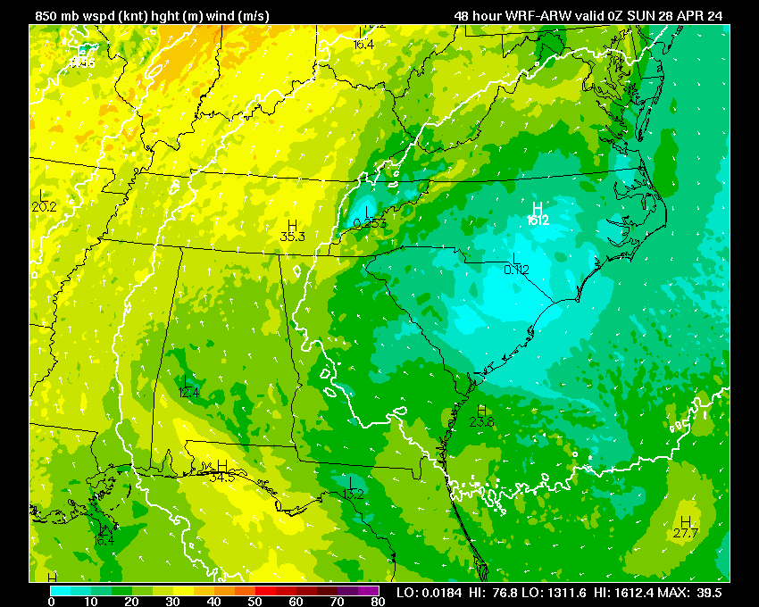
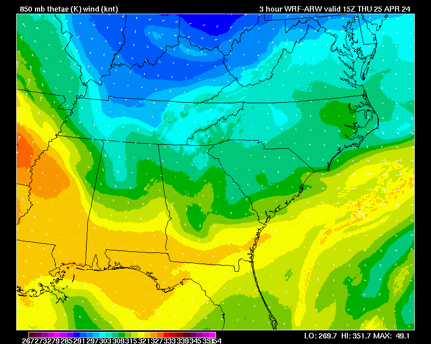
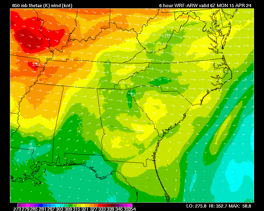
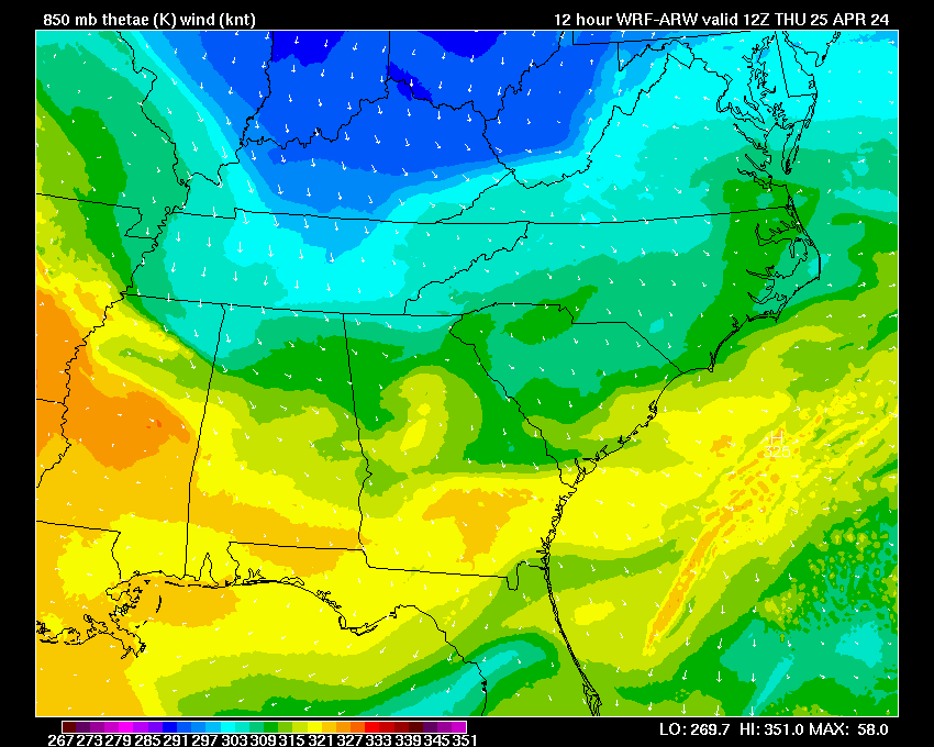
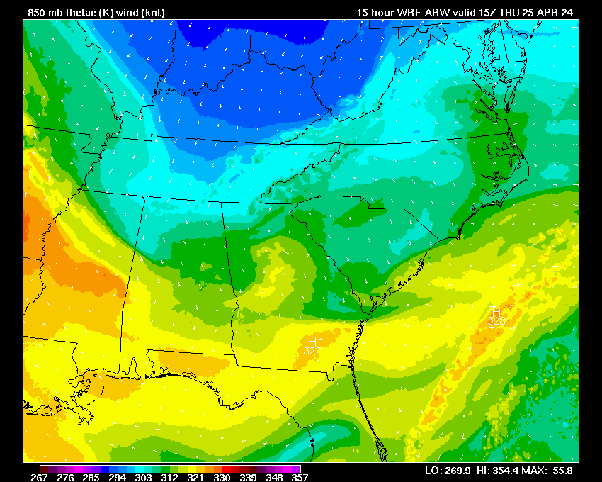
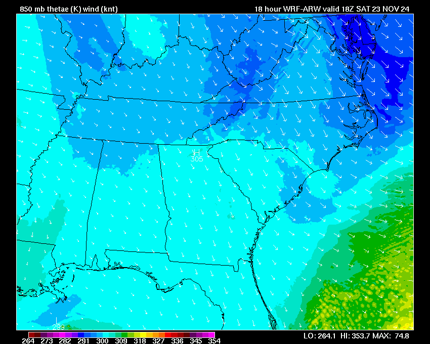
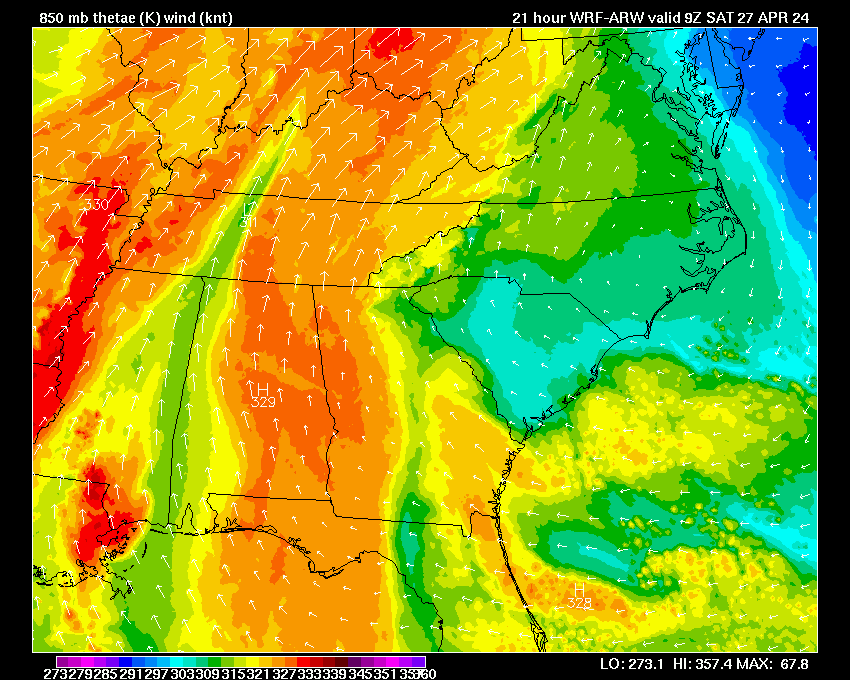
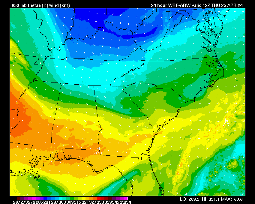
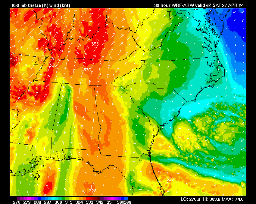
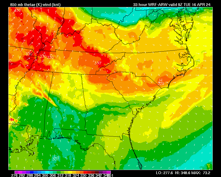
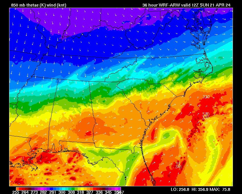
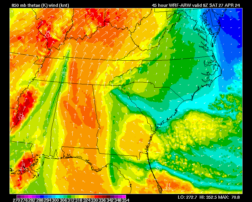
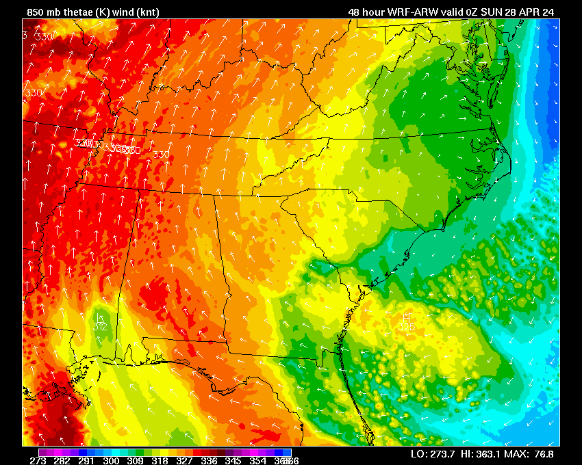
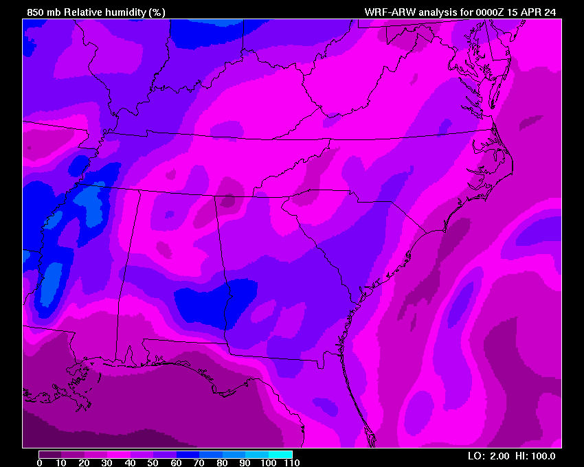
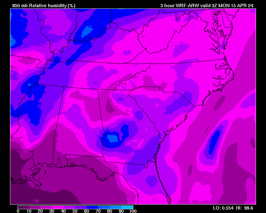
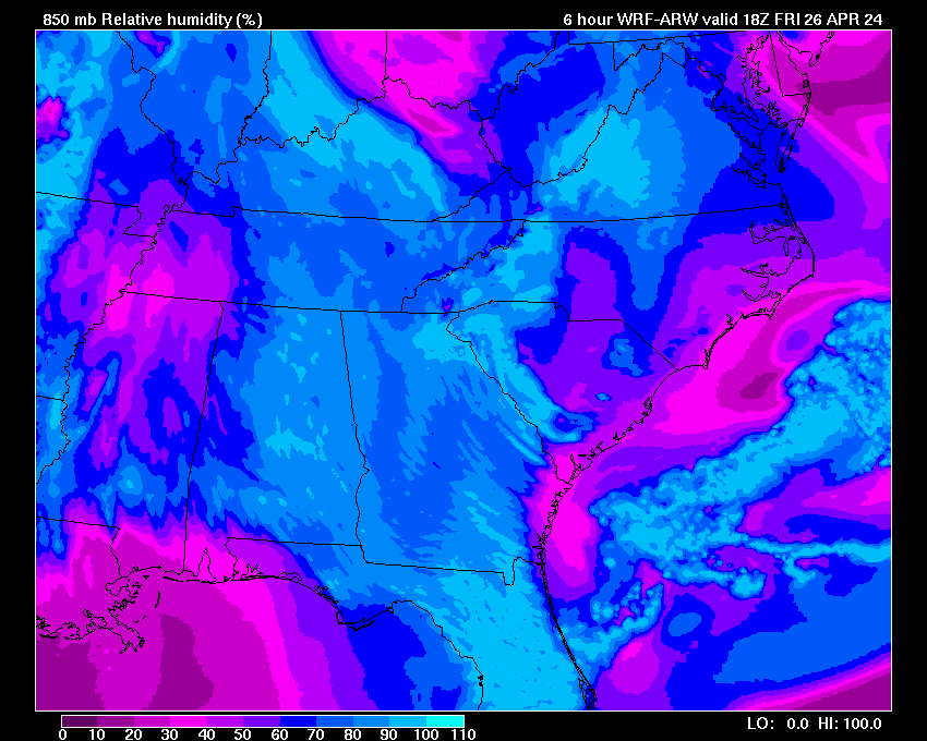
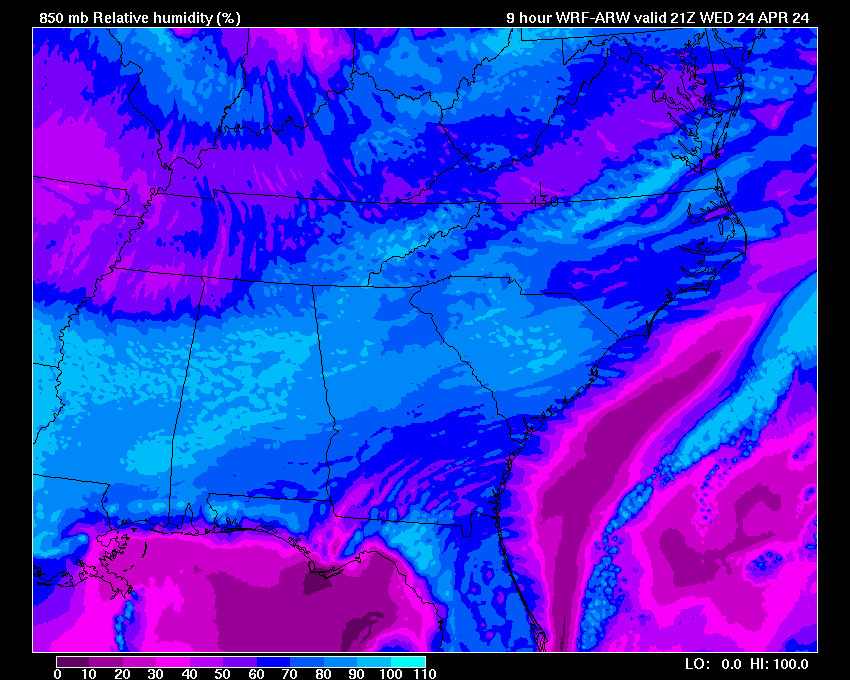
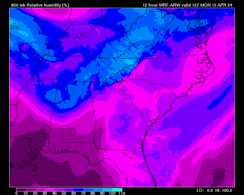
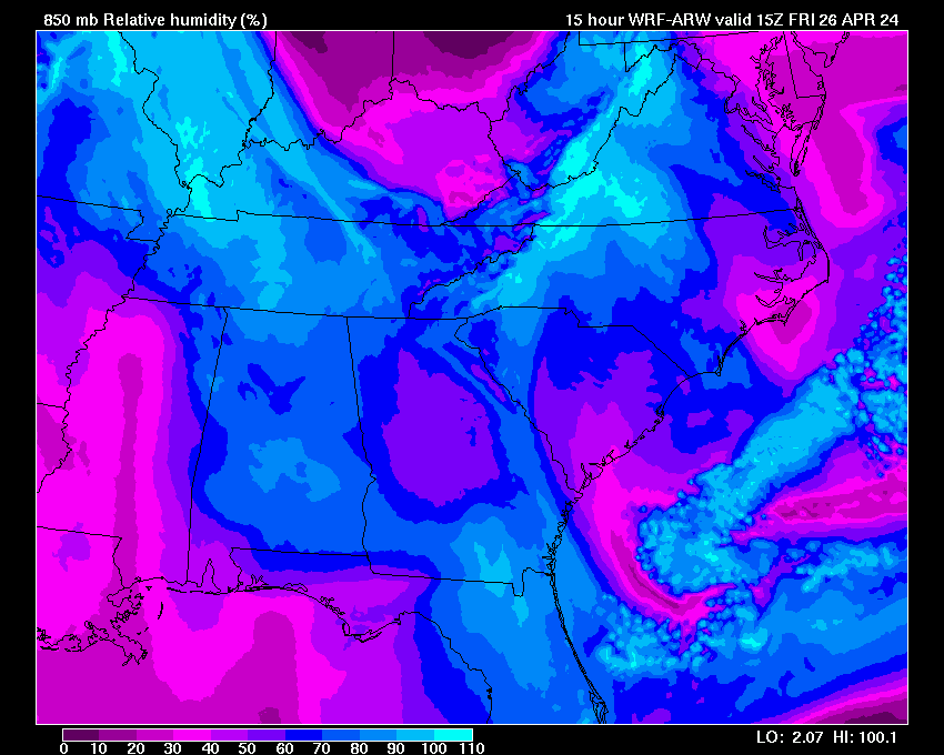
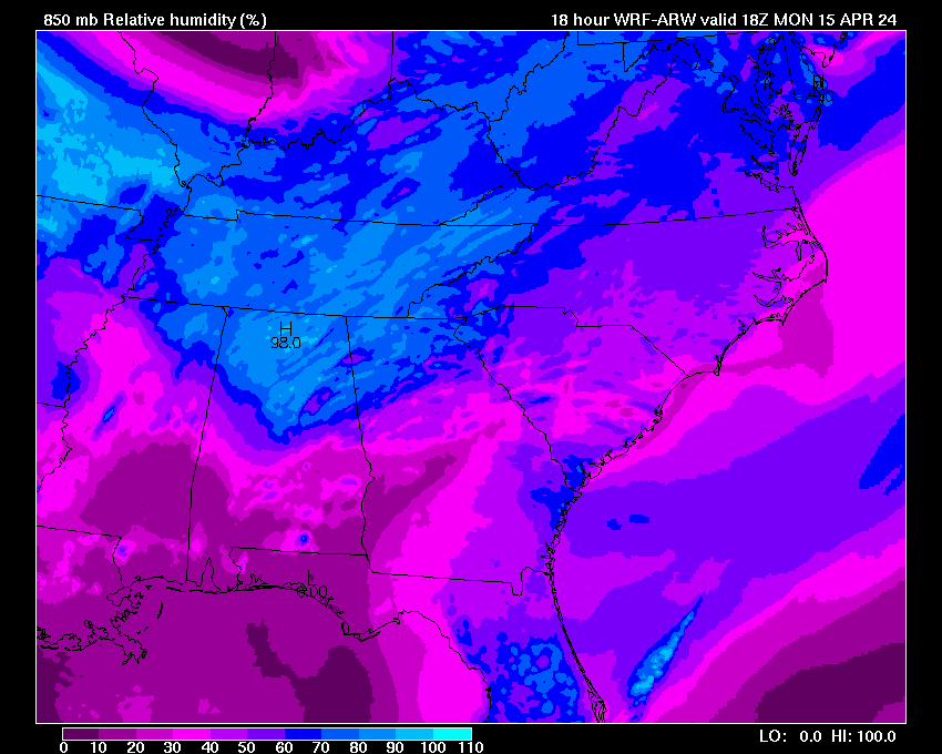
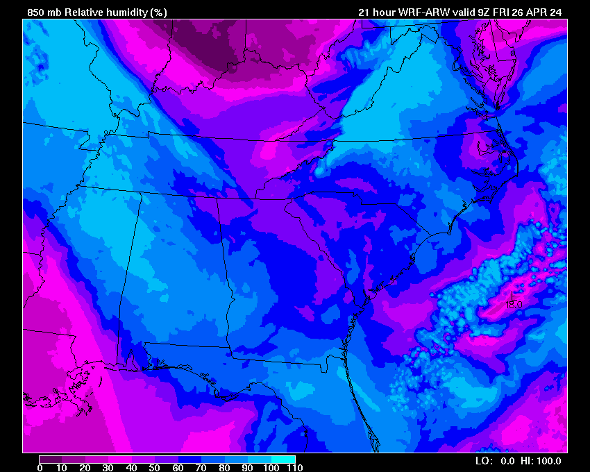
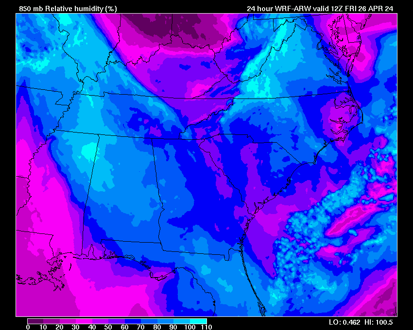
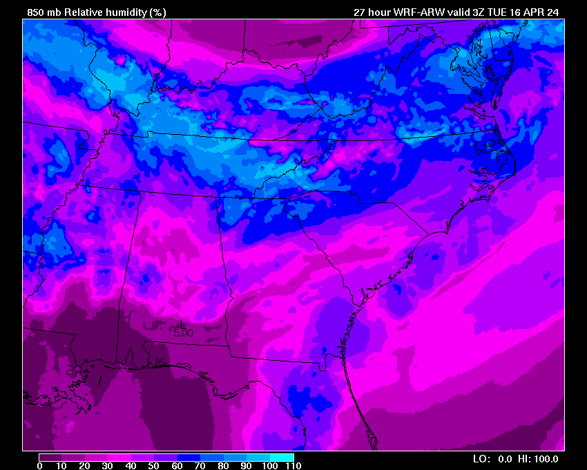
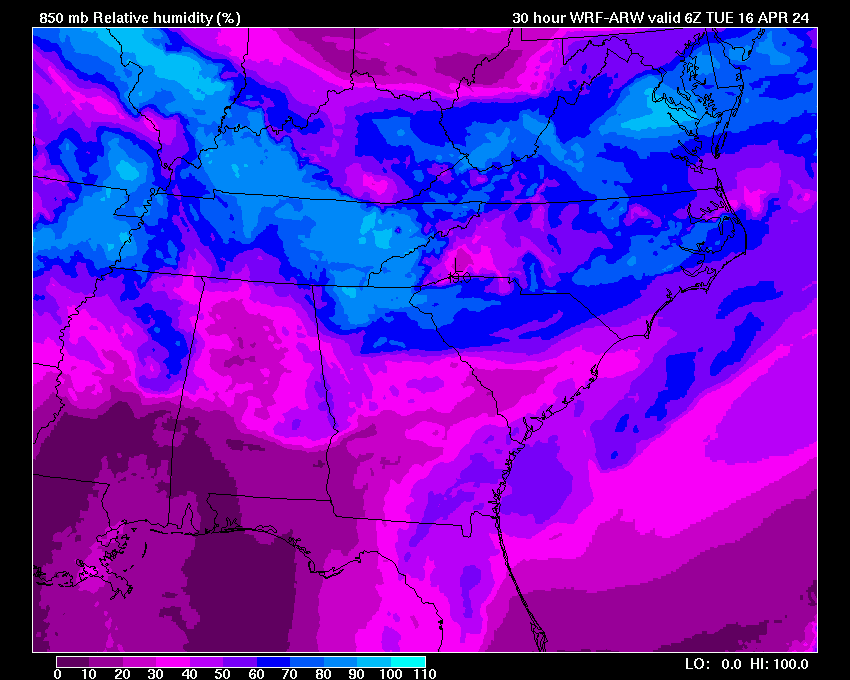
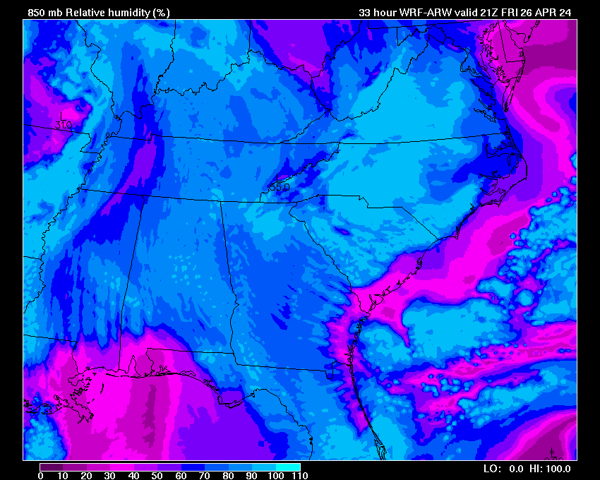
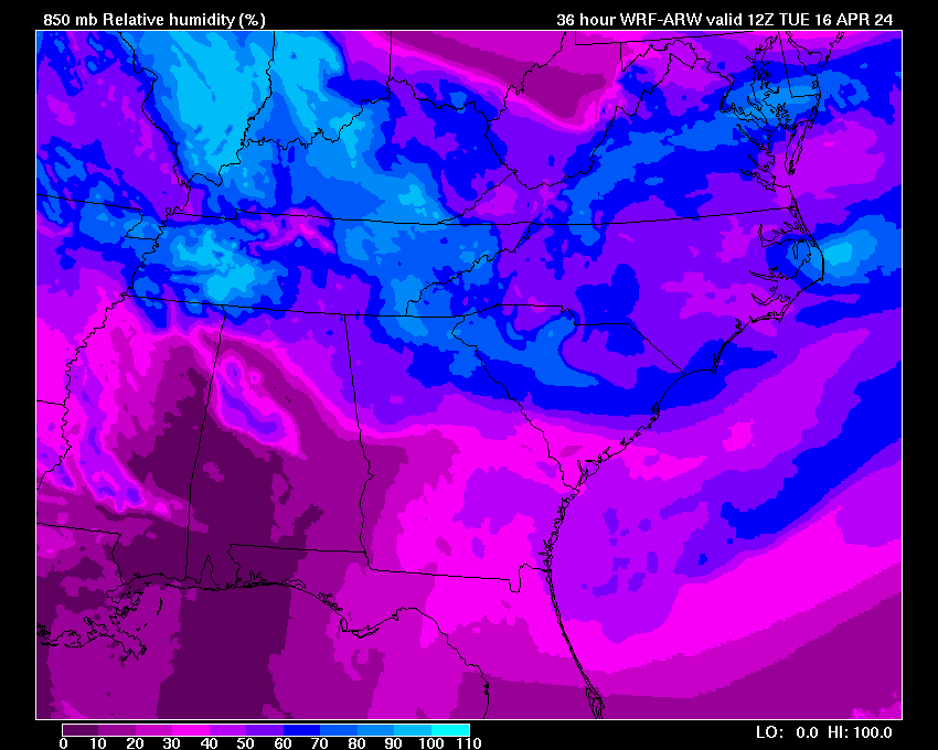
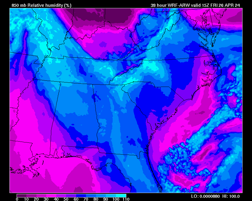
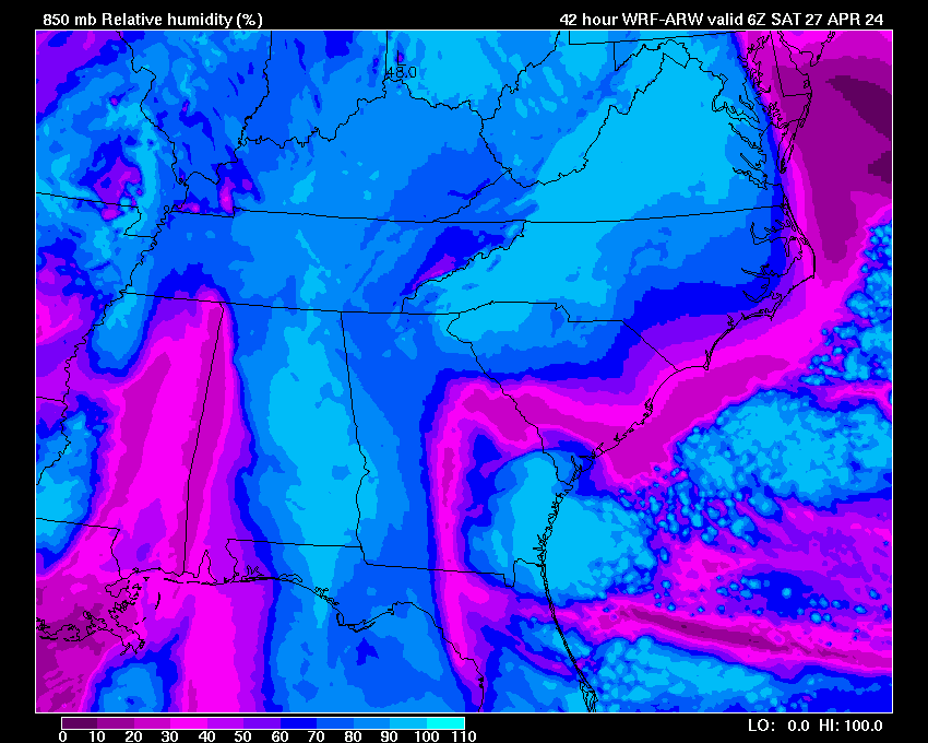
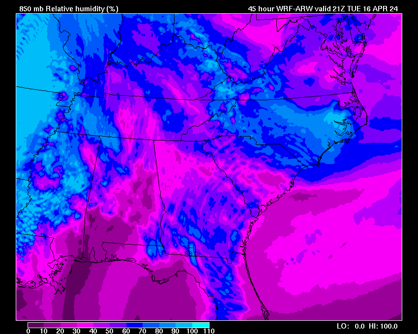
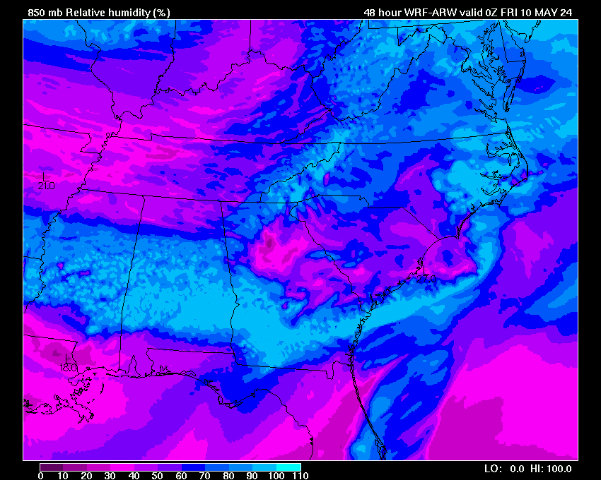
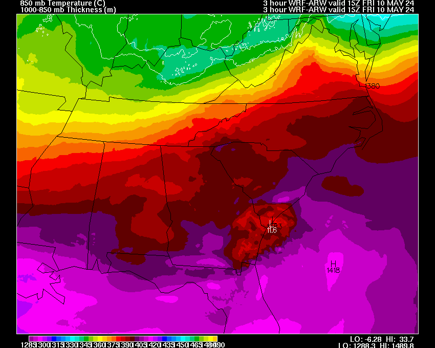
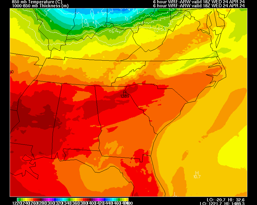
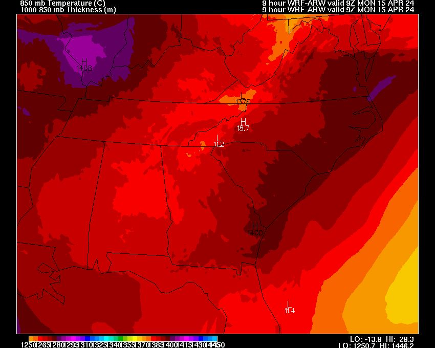
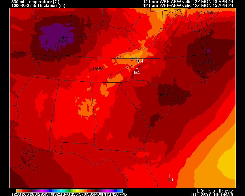
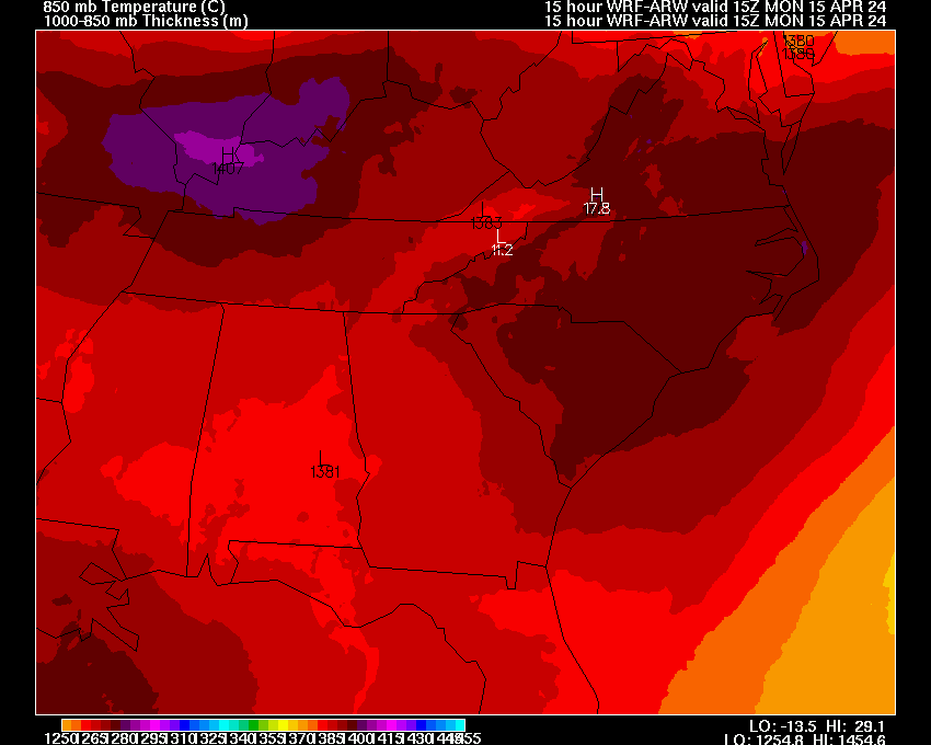
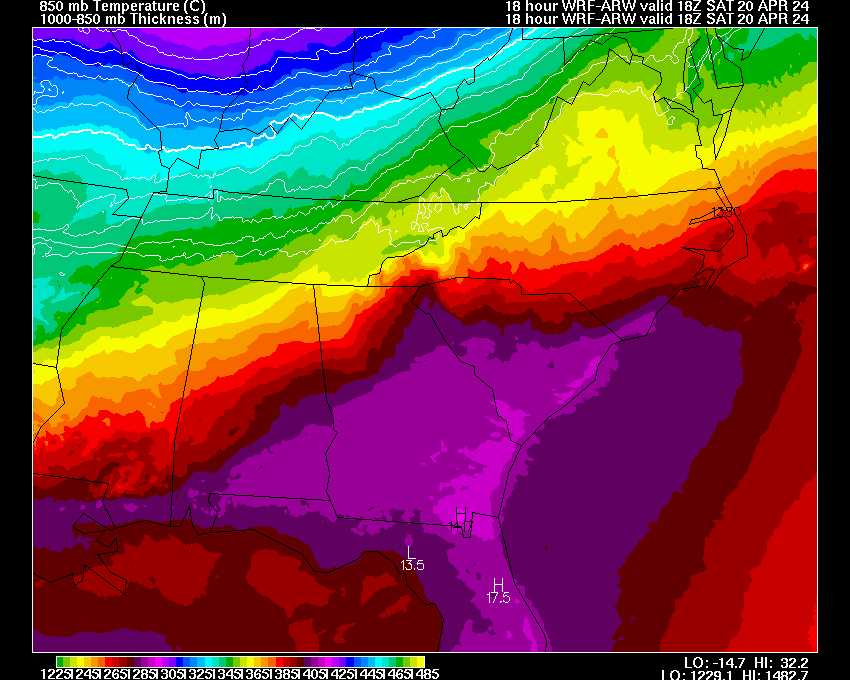
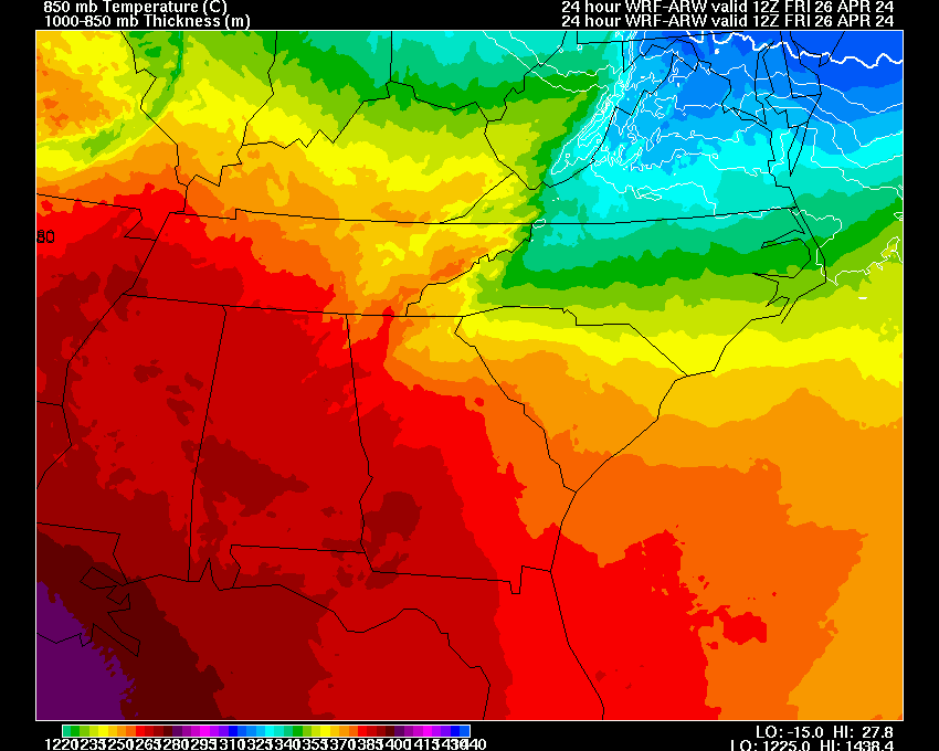
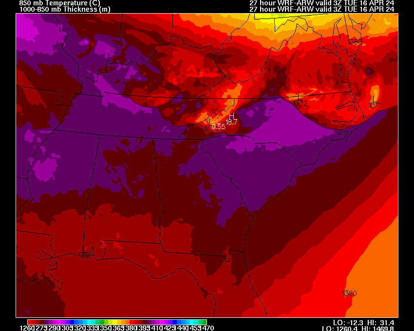
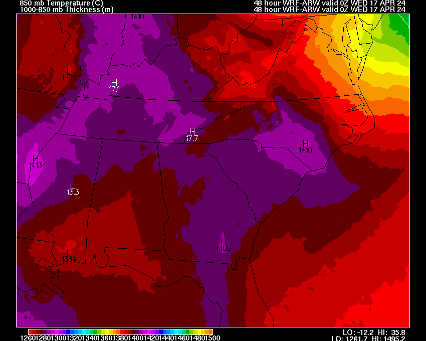
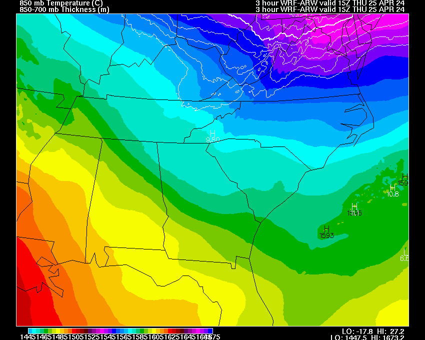
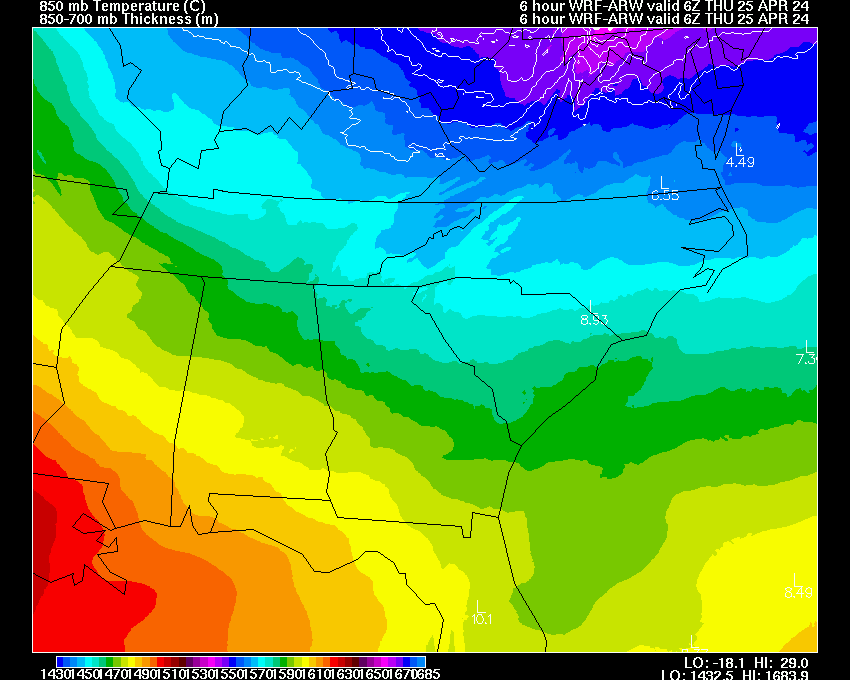
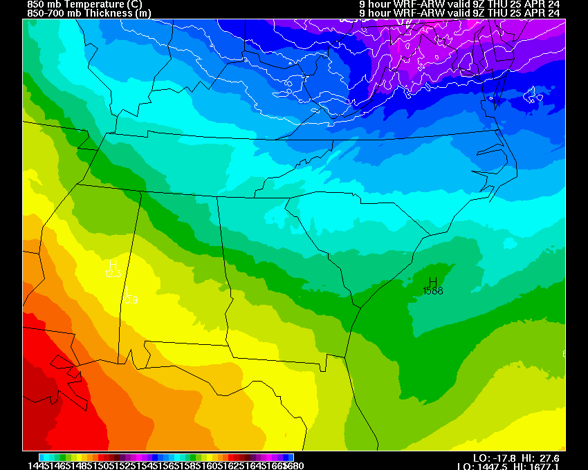
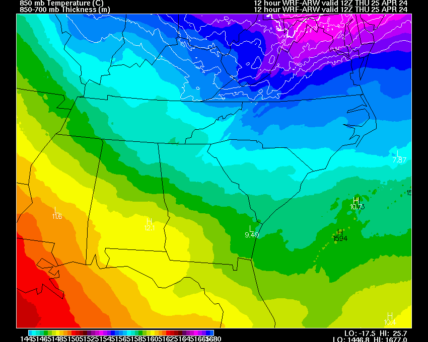
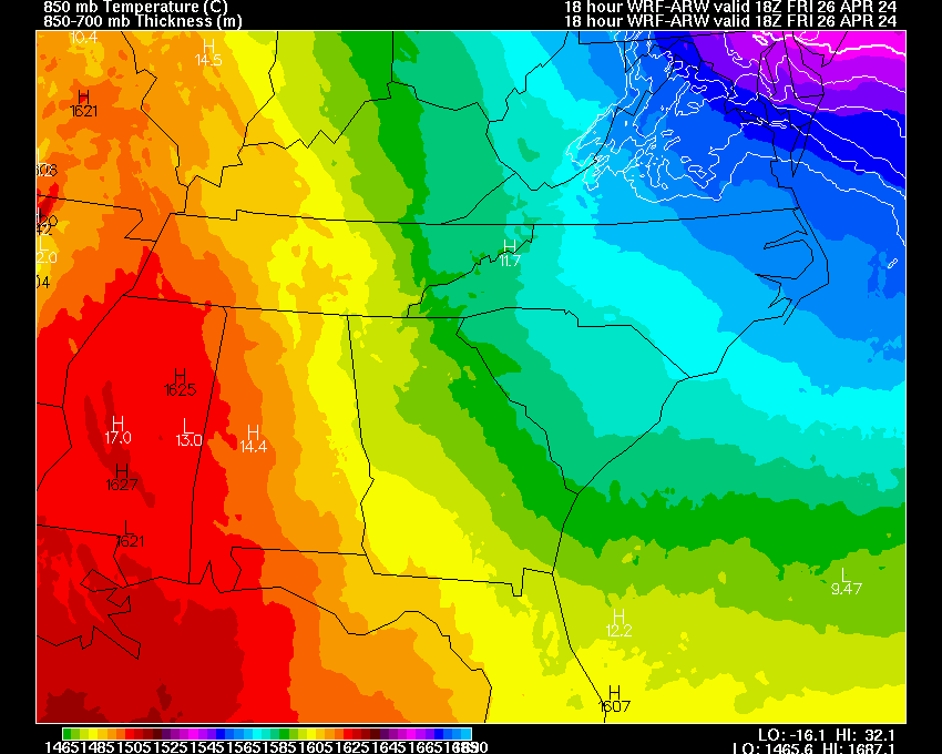
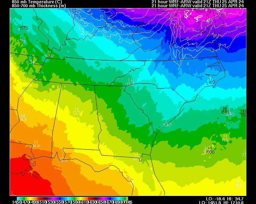
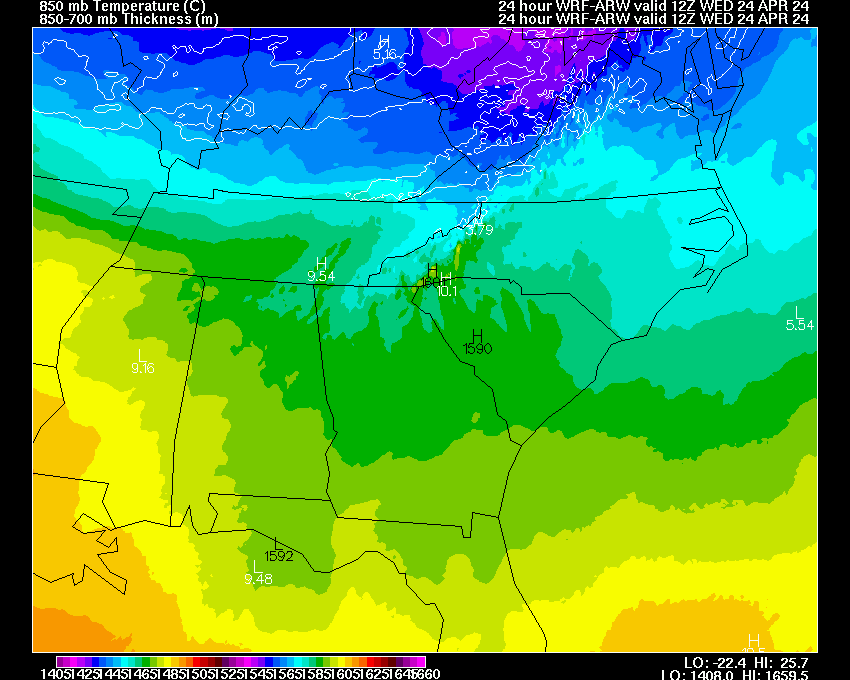
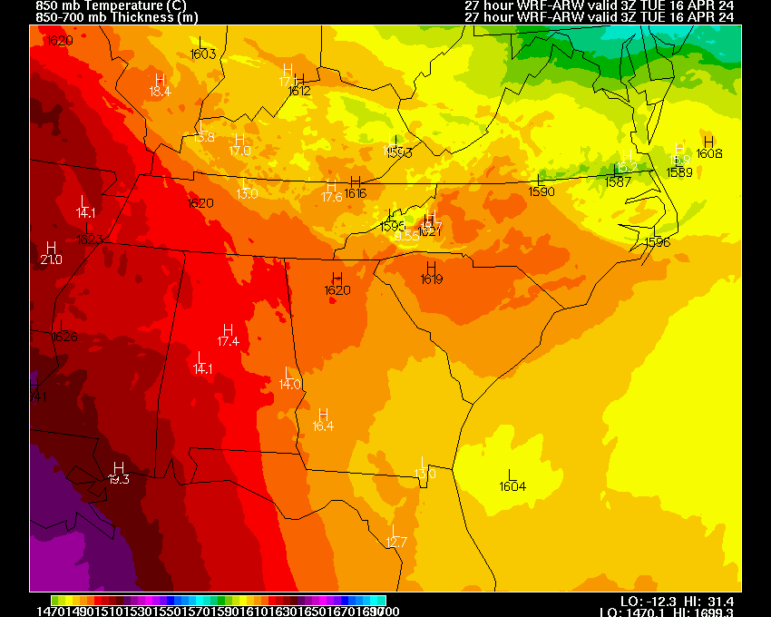
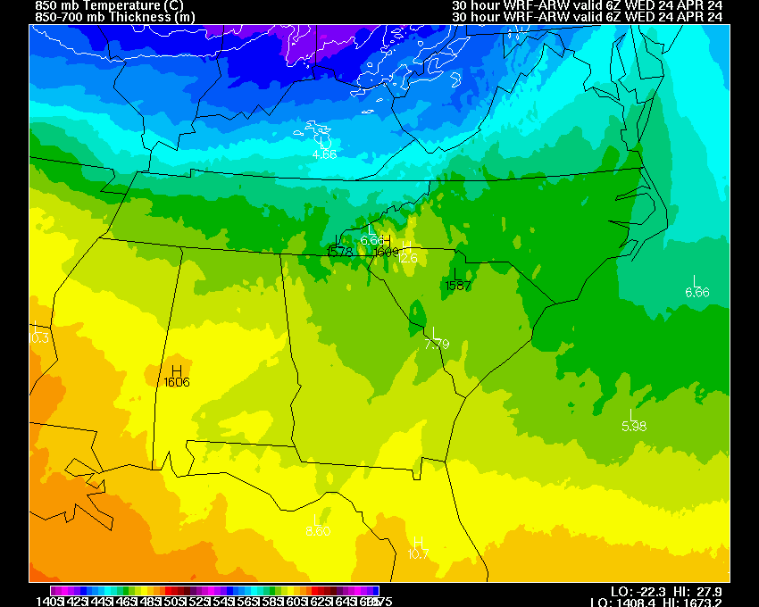
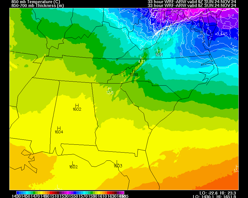
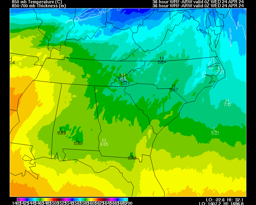
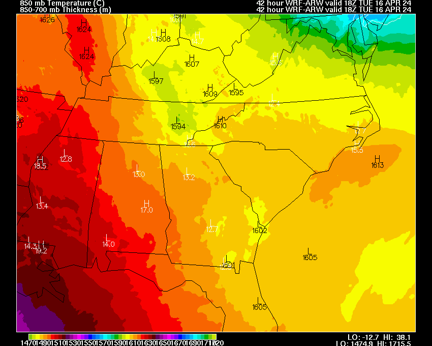
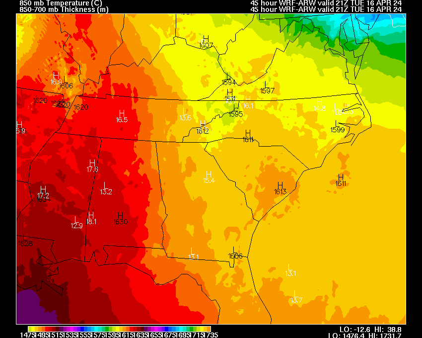
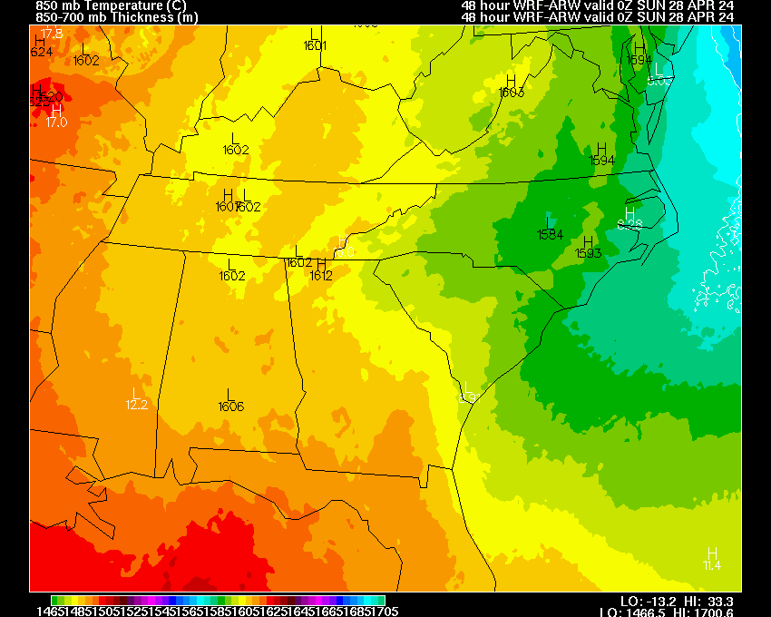
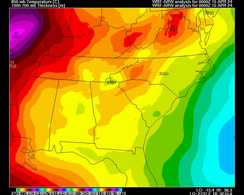
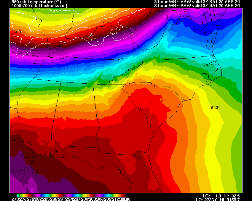
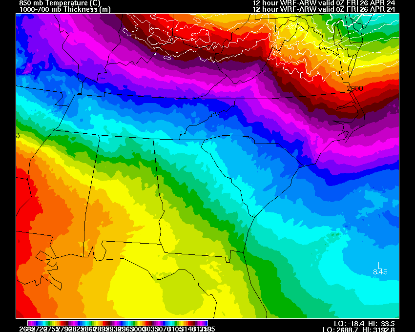
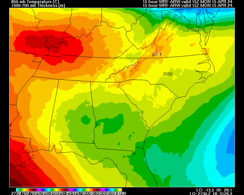
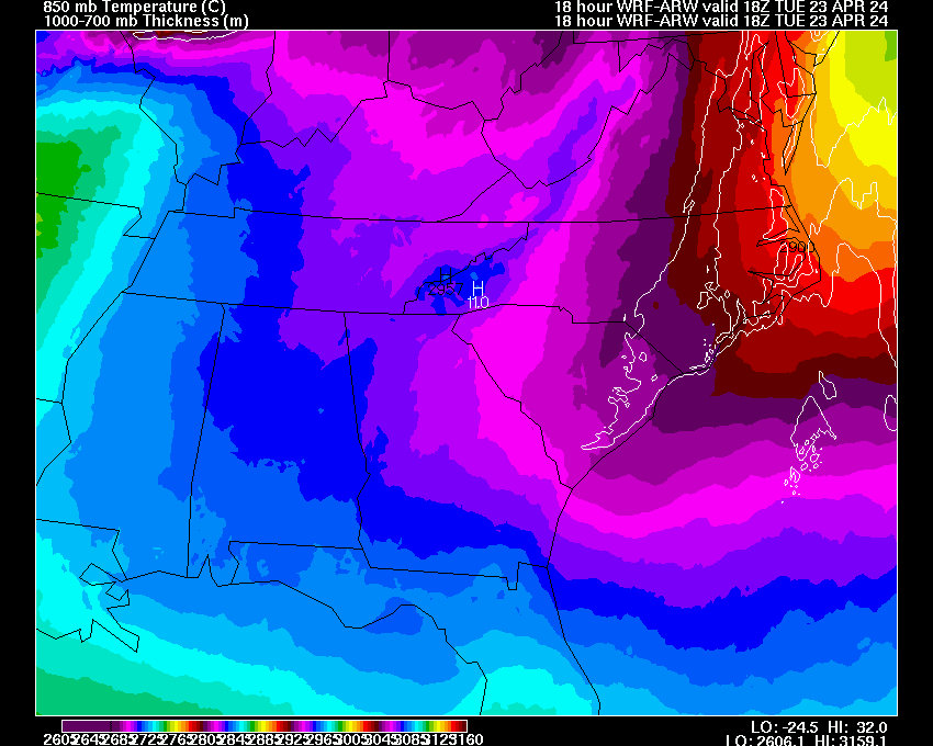
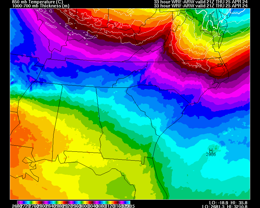
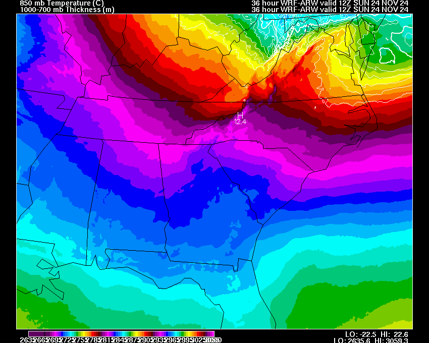
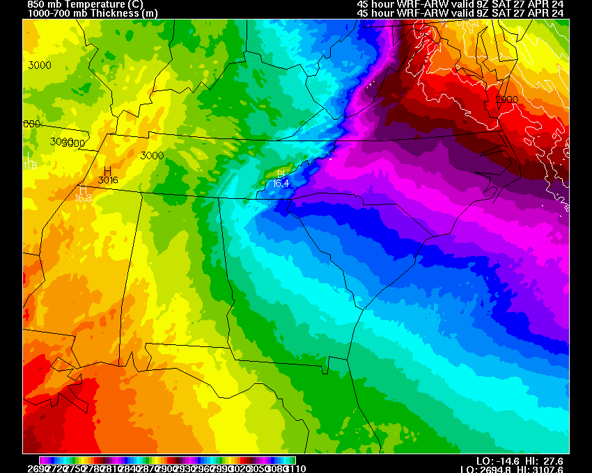
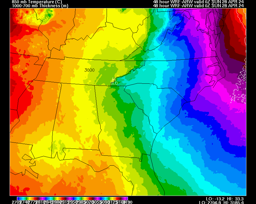
| 850 mb Heights & Temps | 03 | 06 | 09 | 12 | 15 | 18 | 21 | 24 | 27 | 30 | 33 | 36 | 39 | 42 | 45 | 48 | |
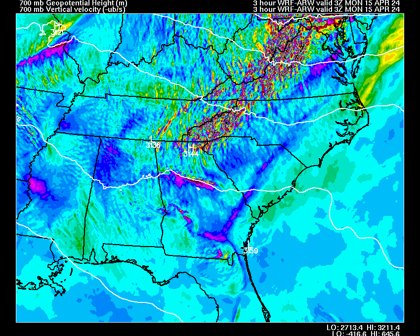
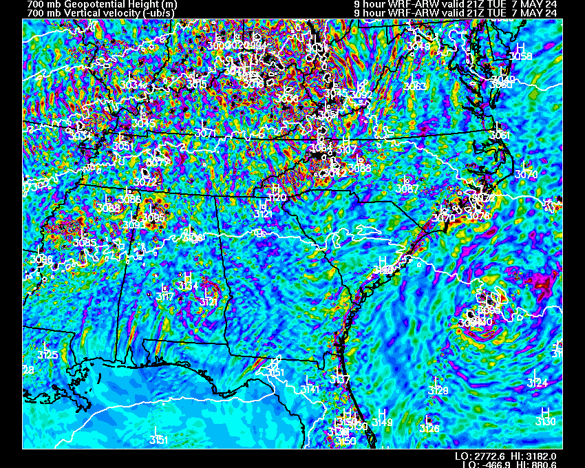
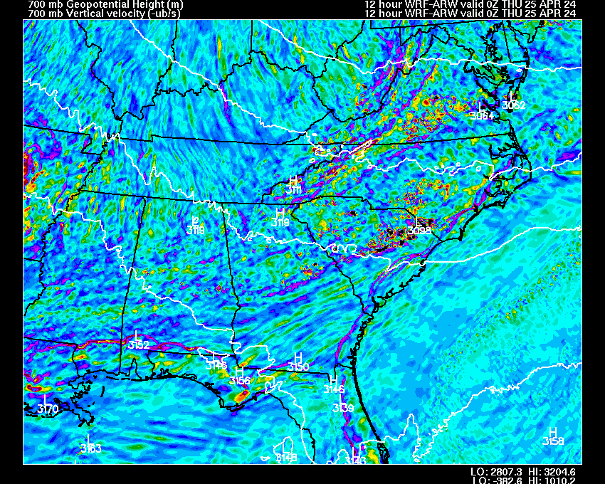
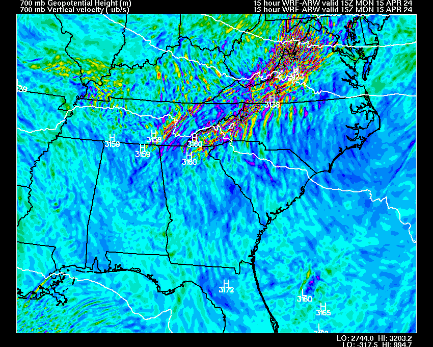
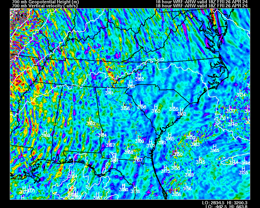
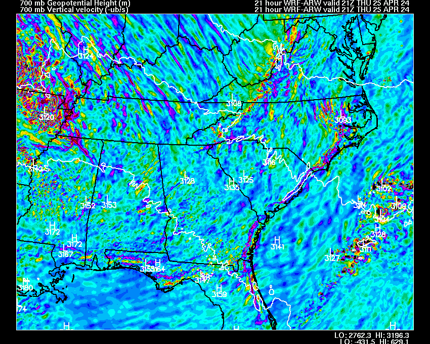
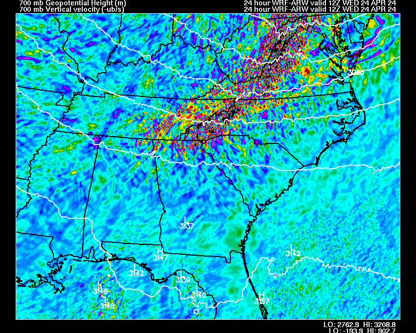
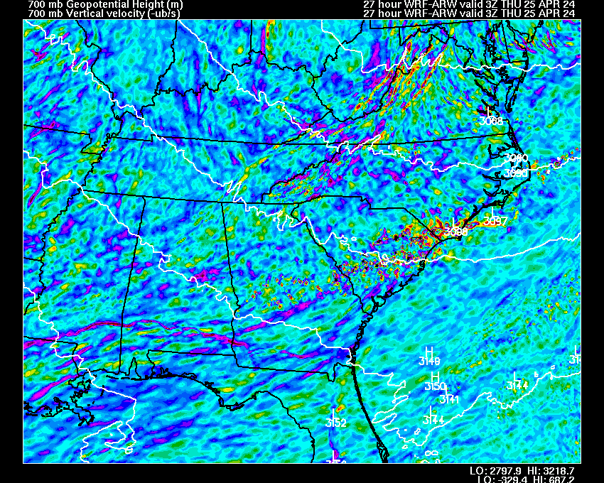
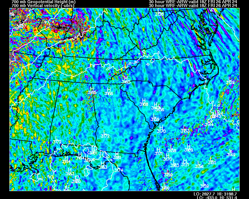
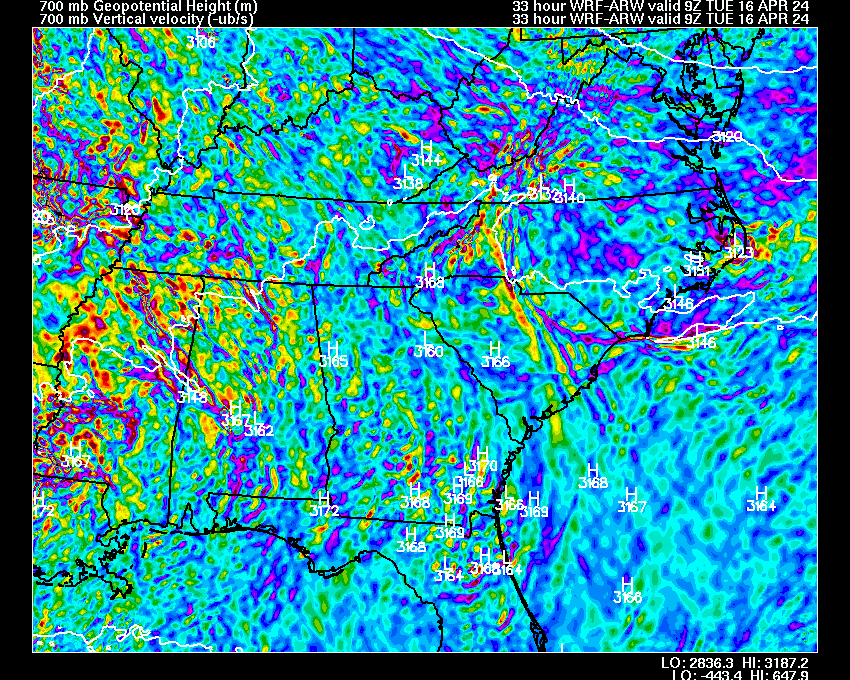
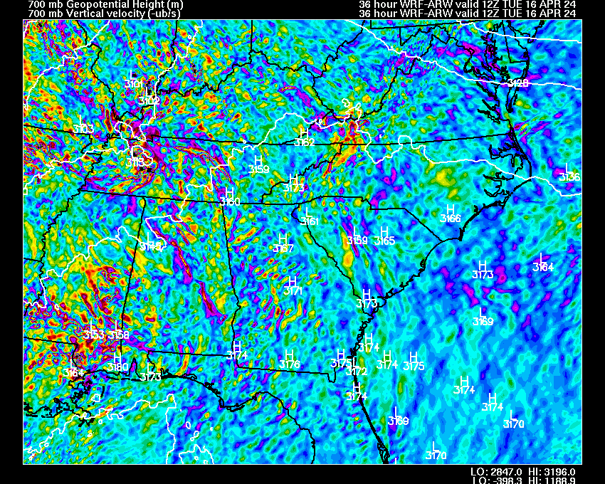
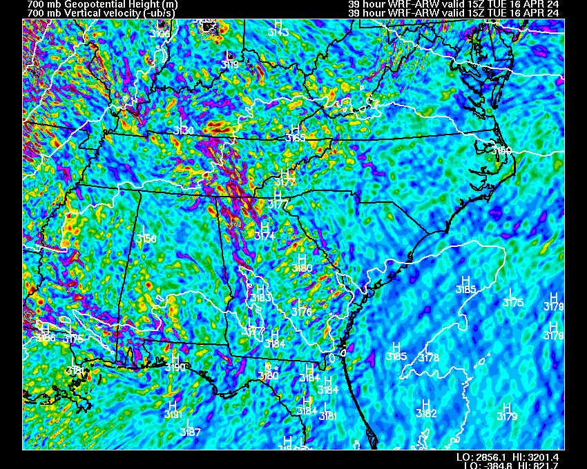
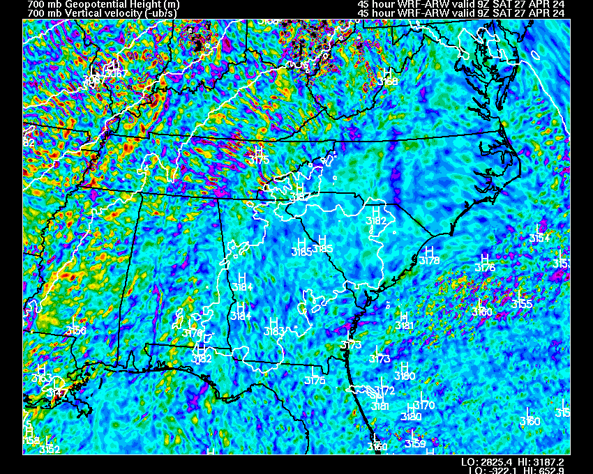
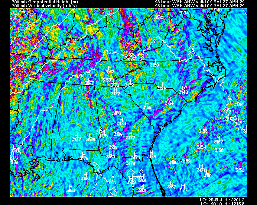
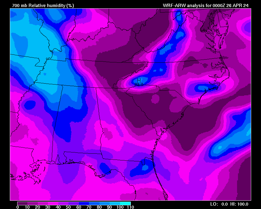
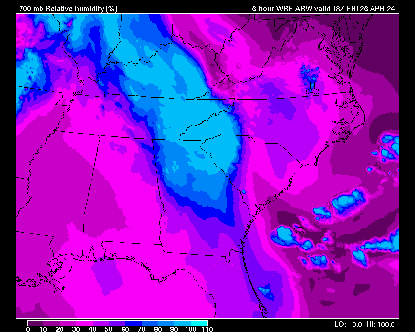
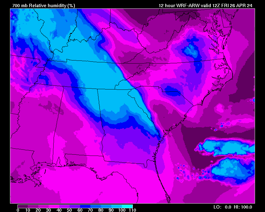
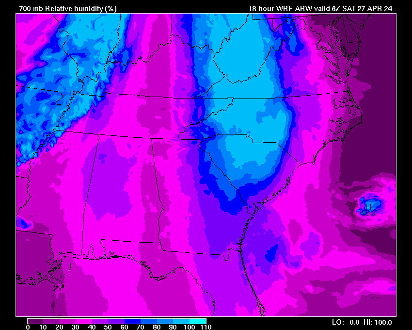
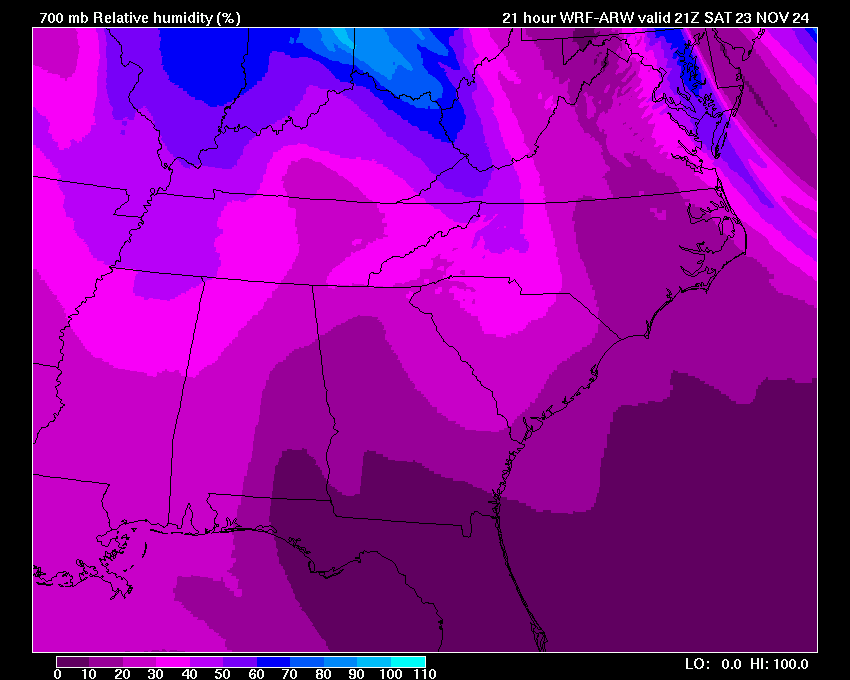
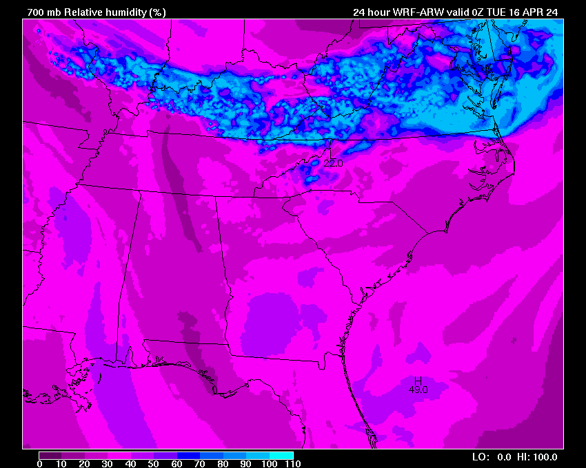
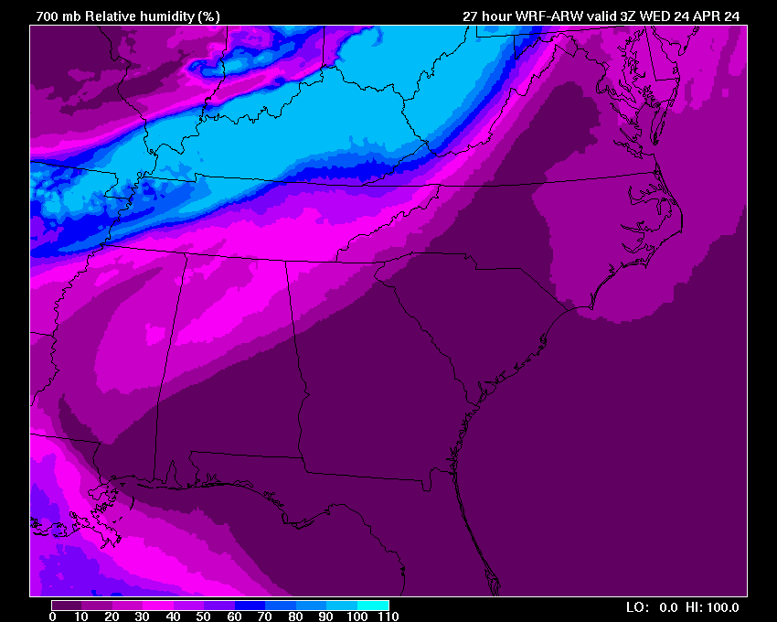
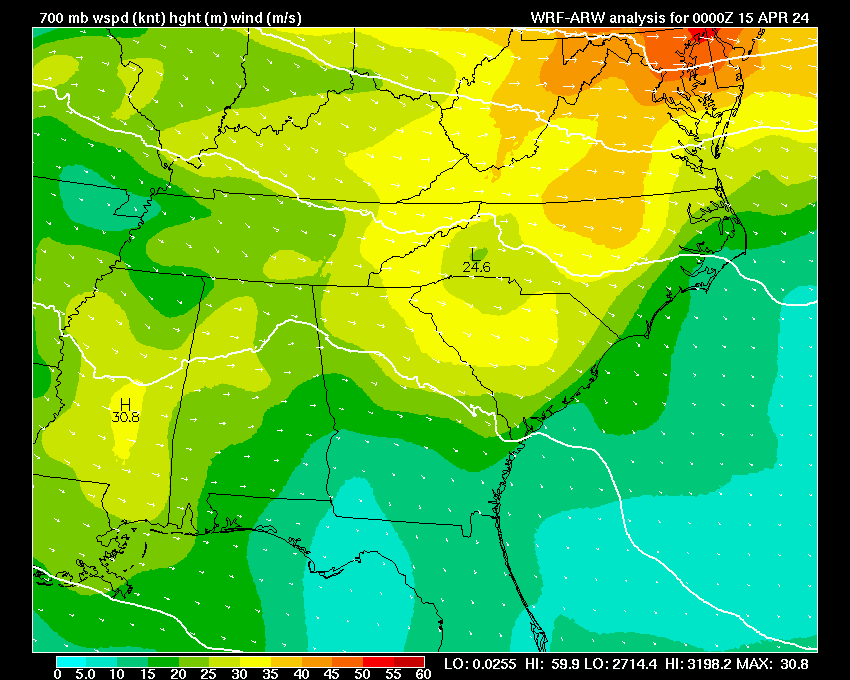
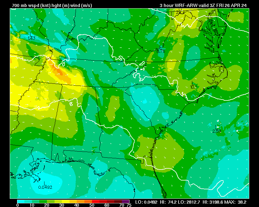
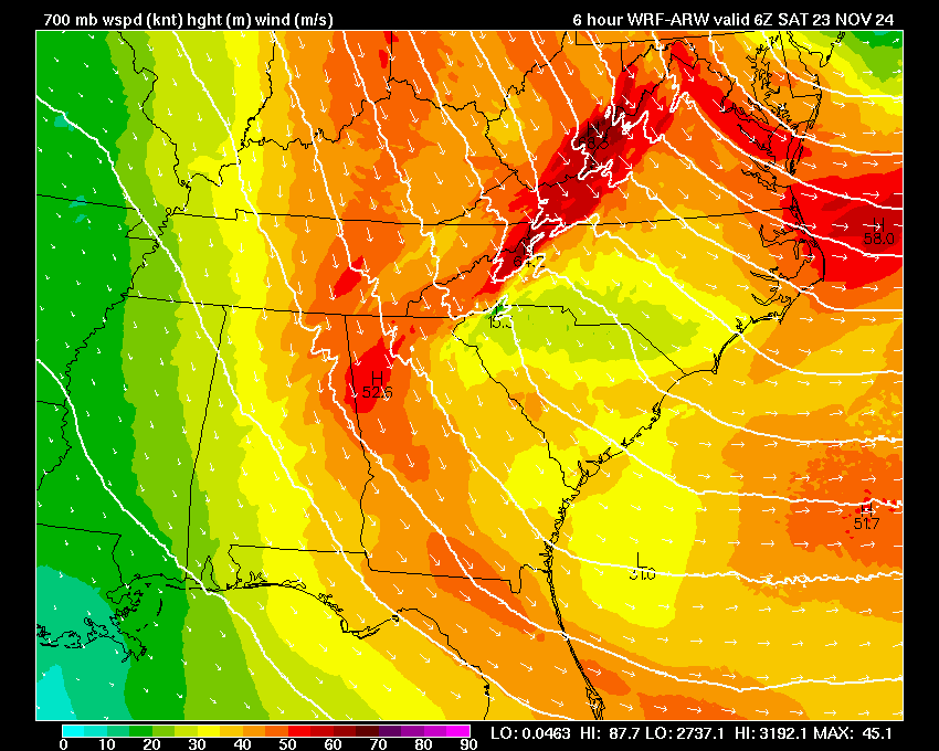
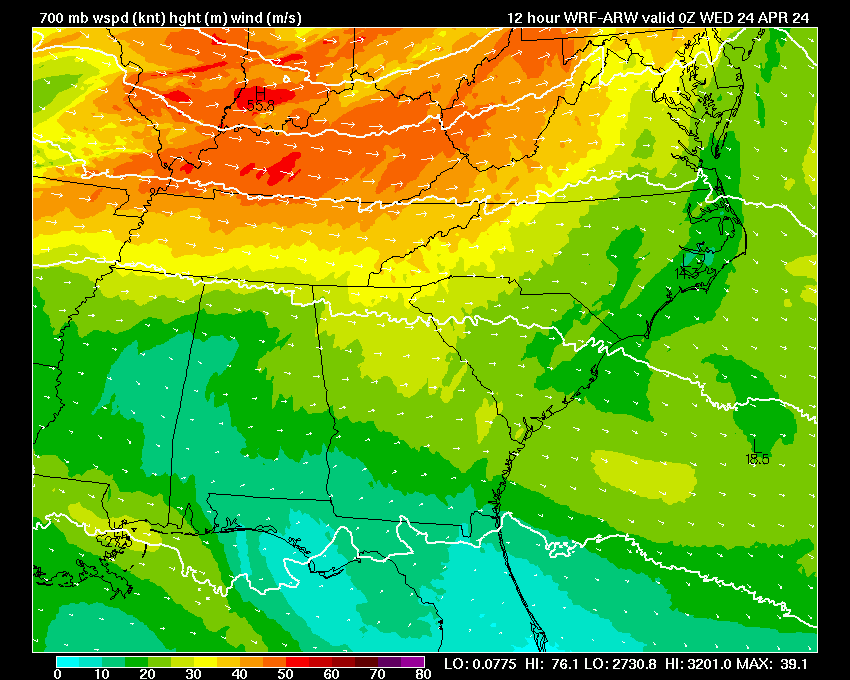
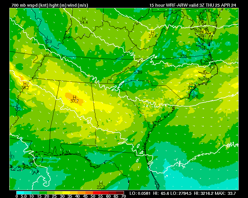
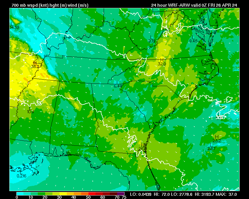
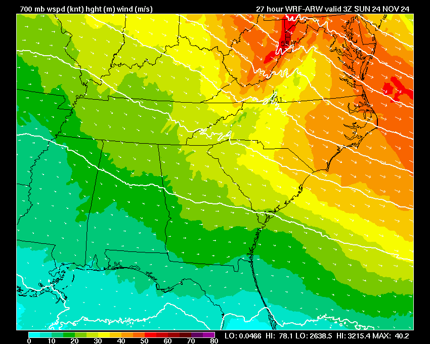
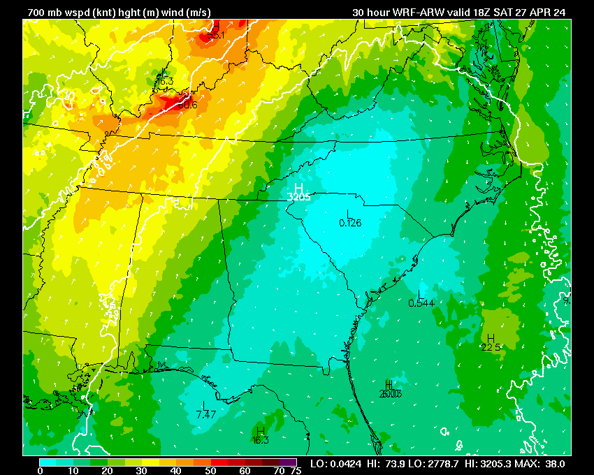
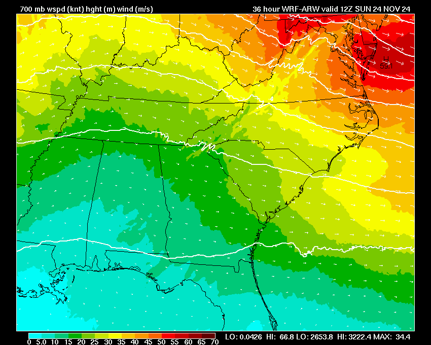
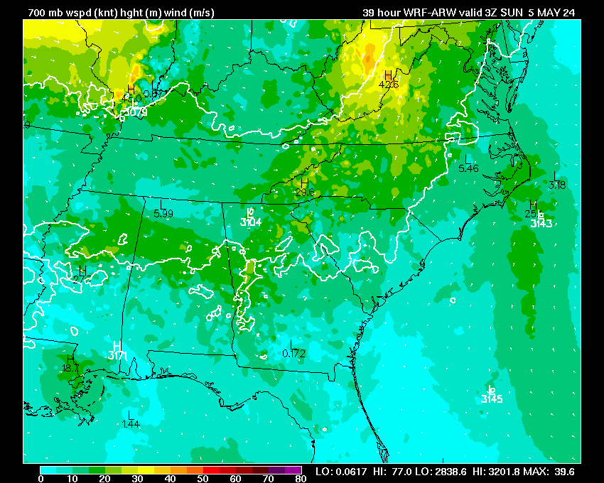
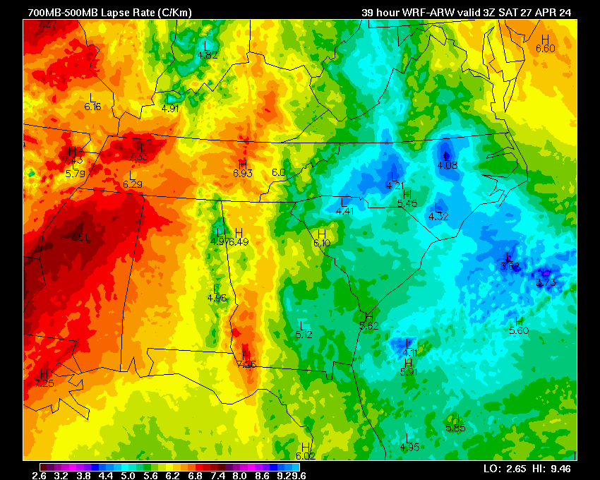
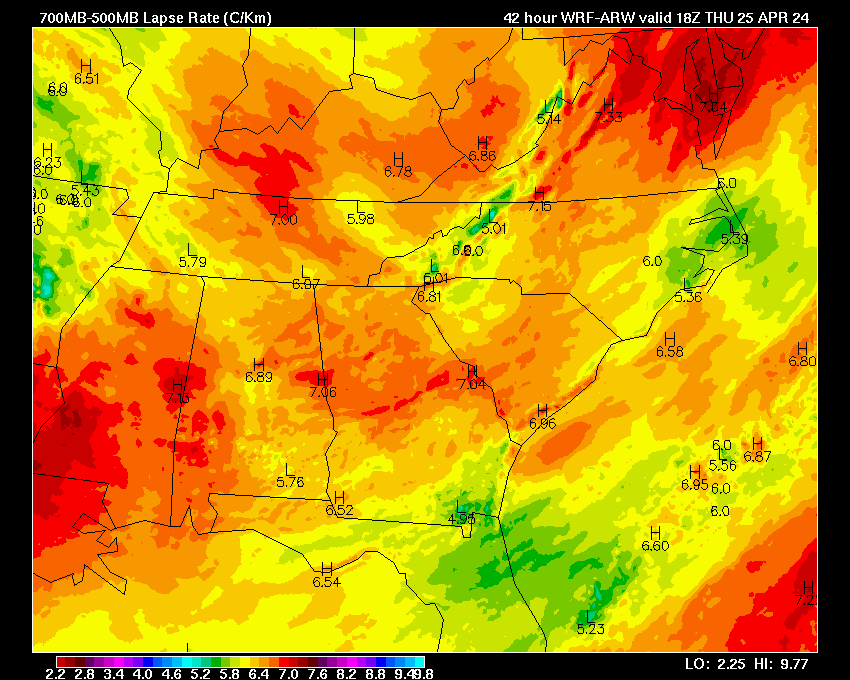
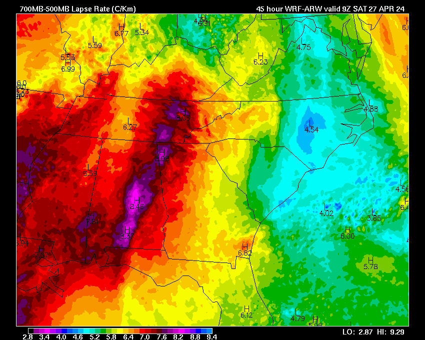
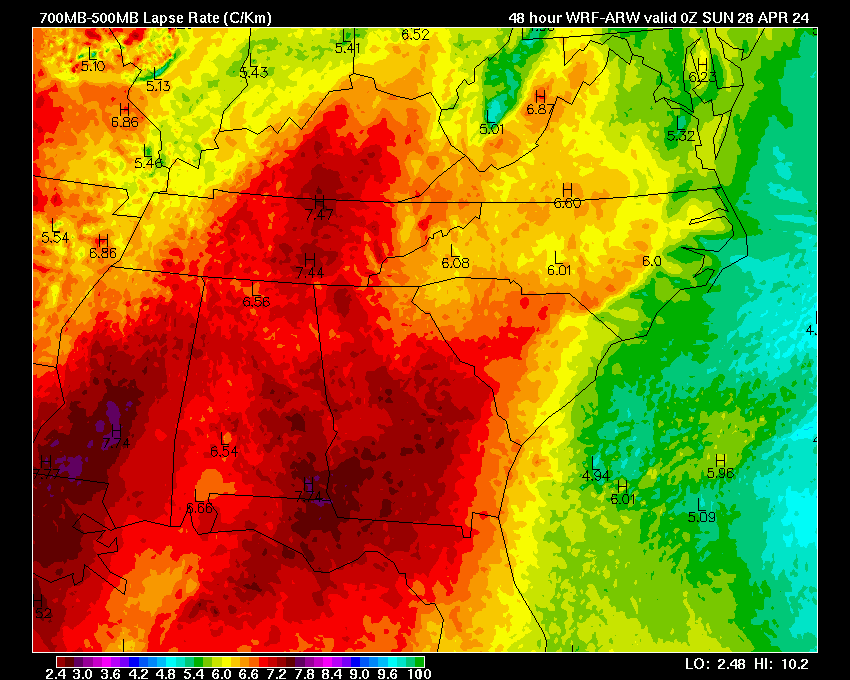
| 700 mb Heights & VVel | 03 | 06 | 09 | 12 | 15 | 18 | 21 | 24 | 27 | 30 | 33 | 36 | 39 | 42 | 45 | 48 | |
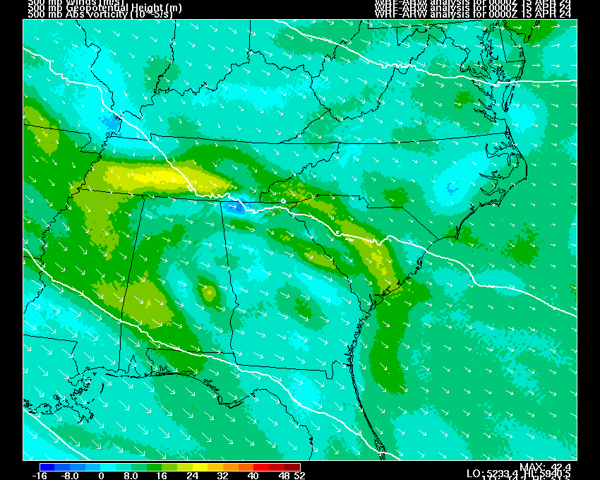
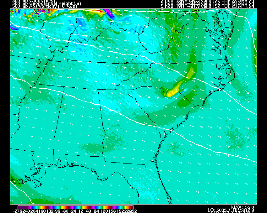
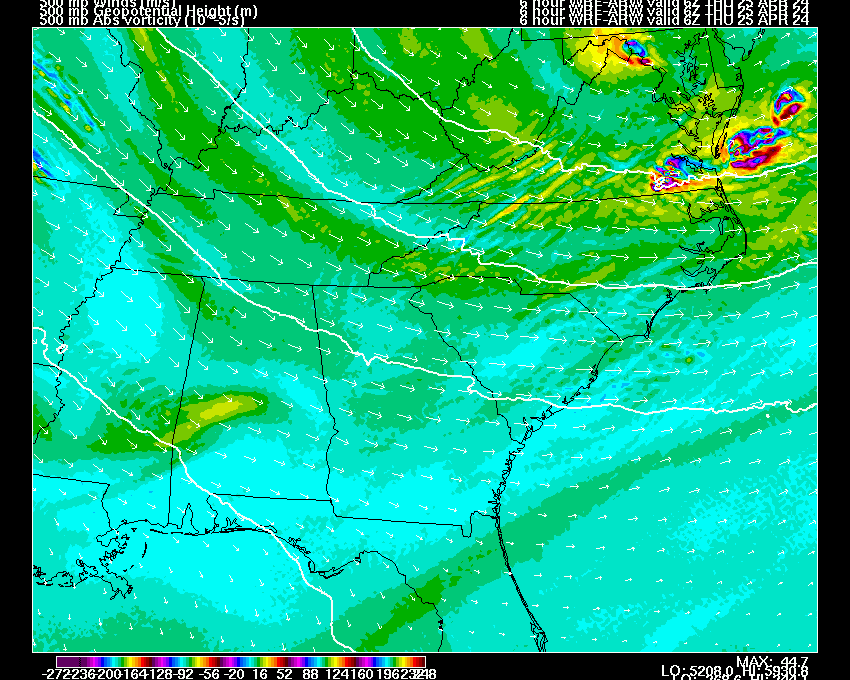
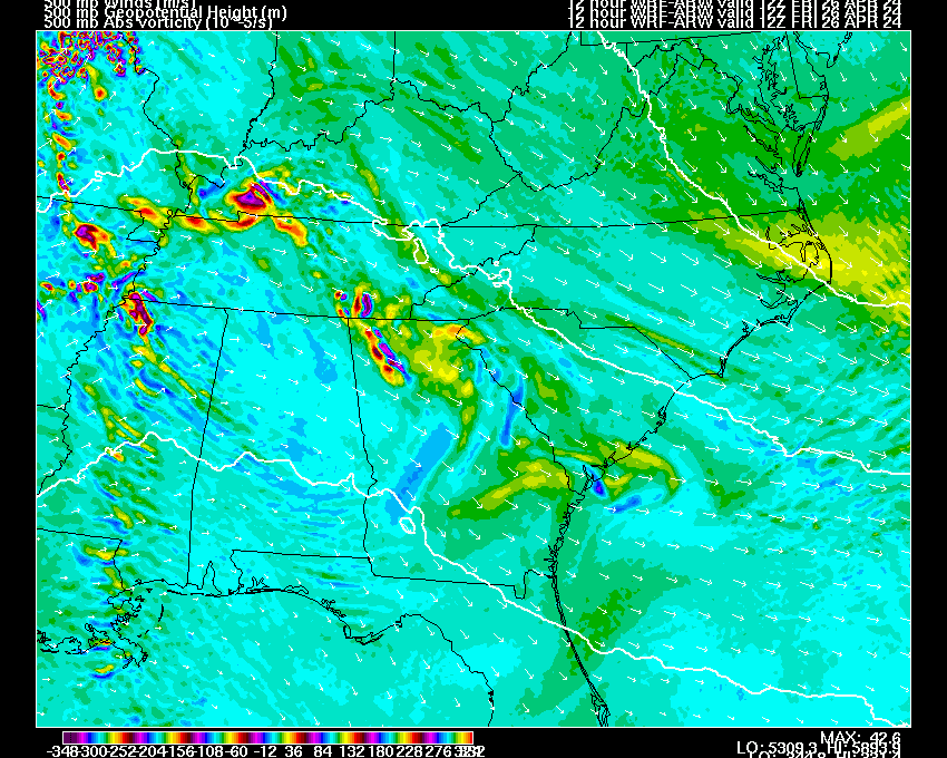
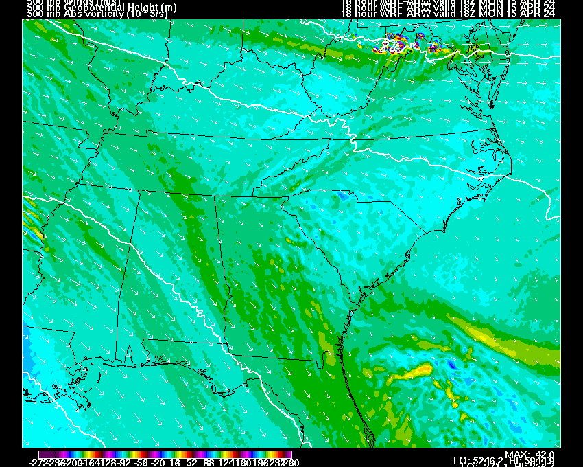
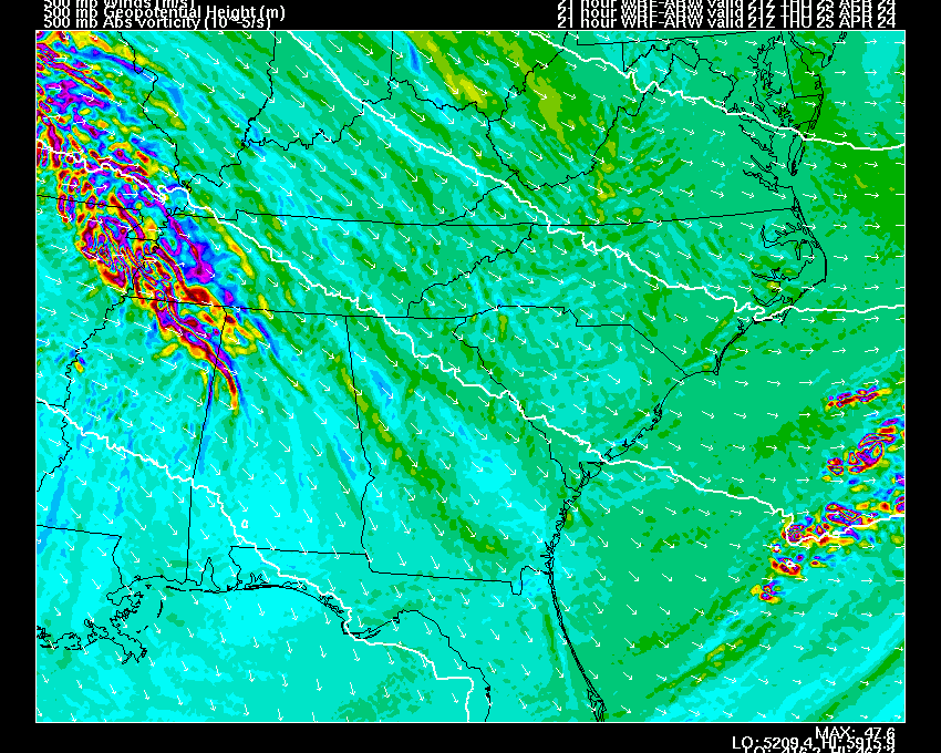
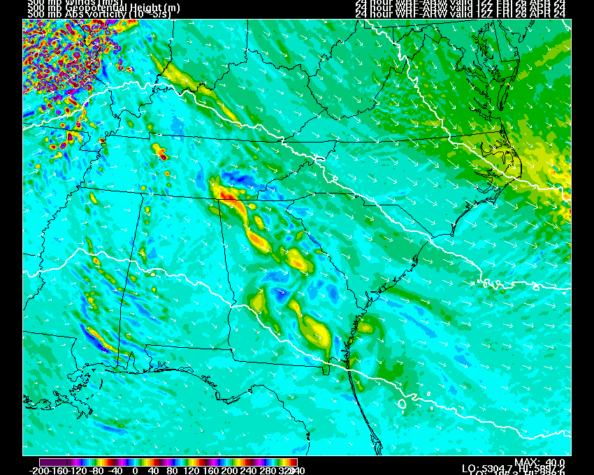
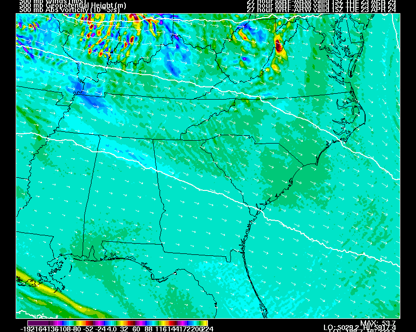
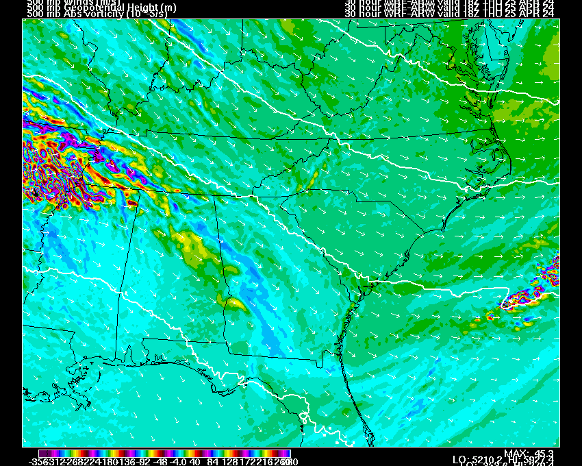
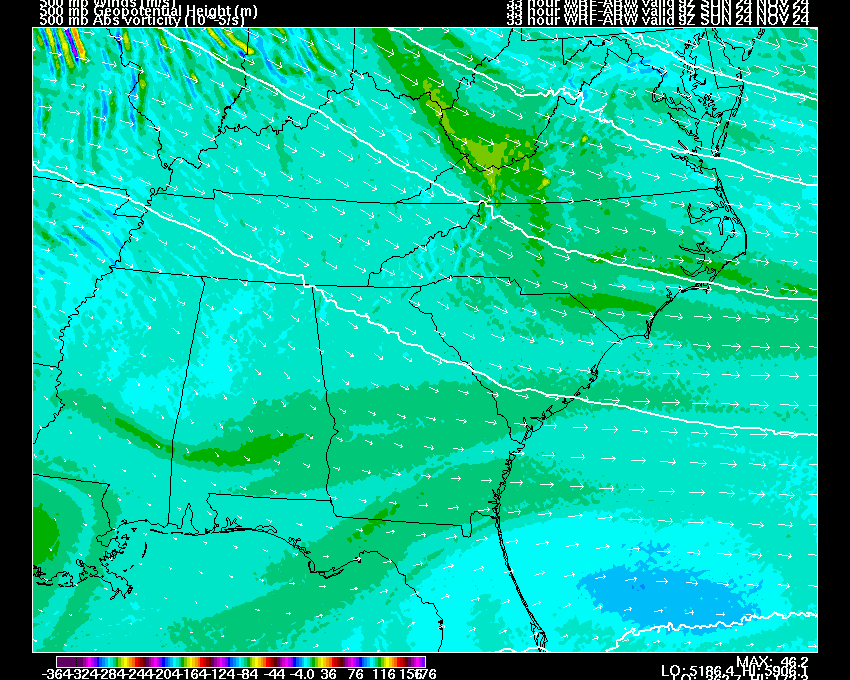
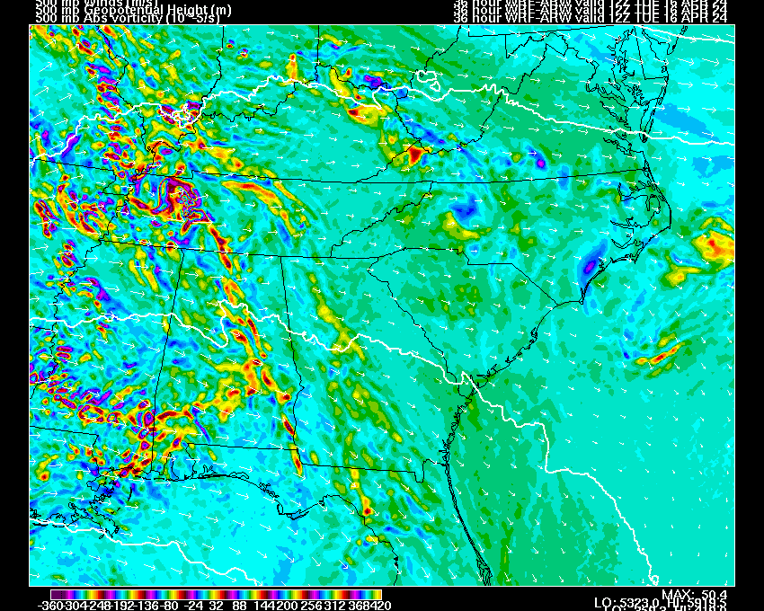
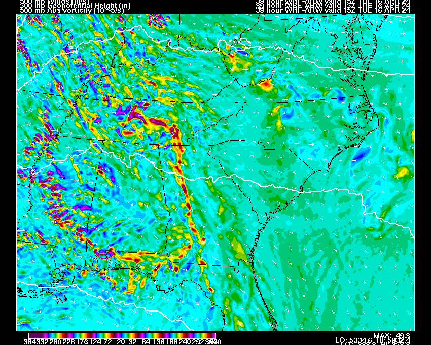
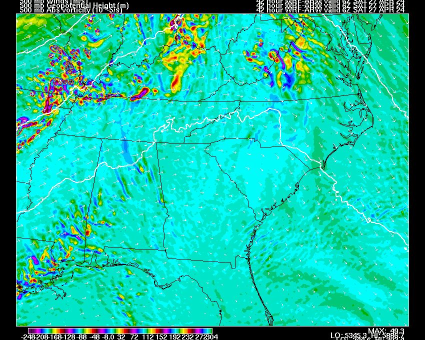
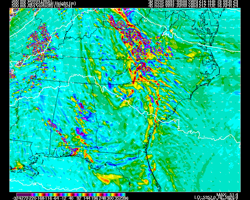
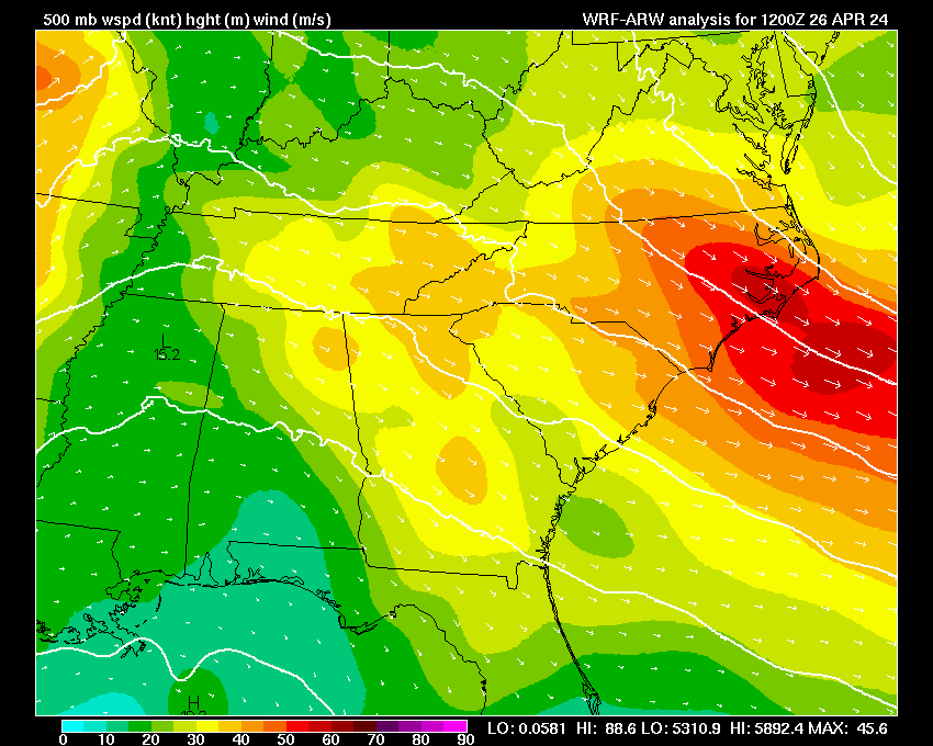
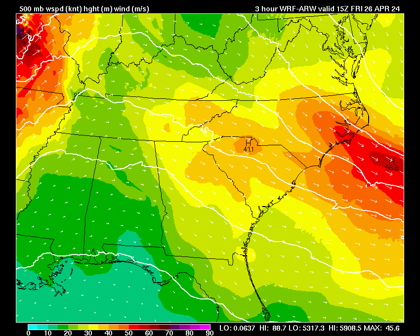
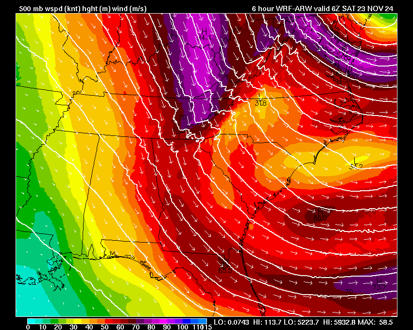
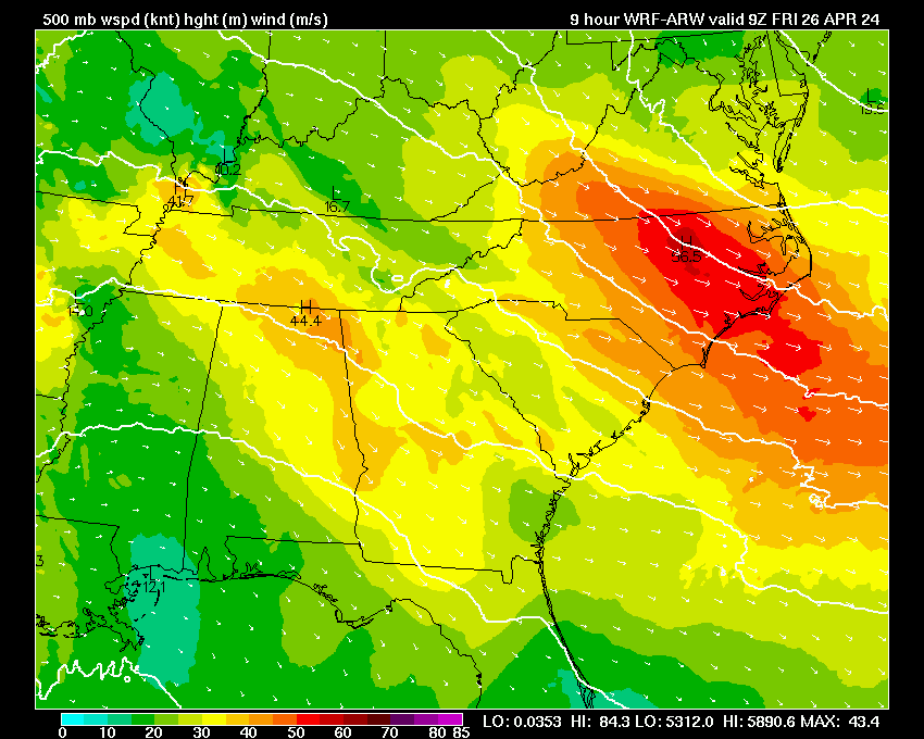
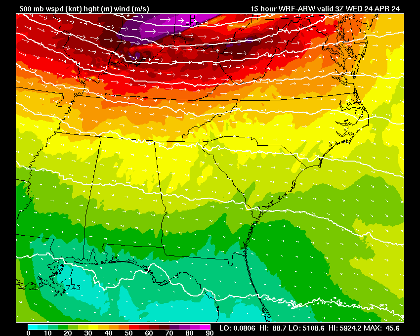
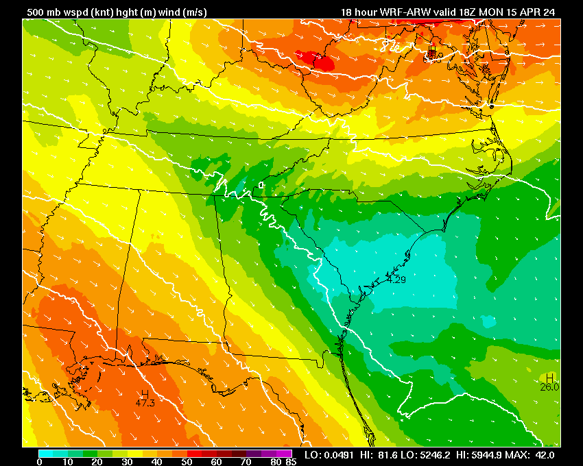
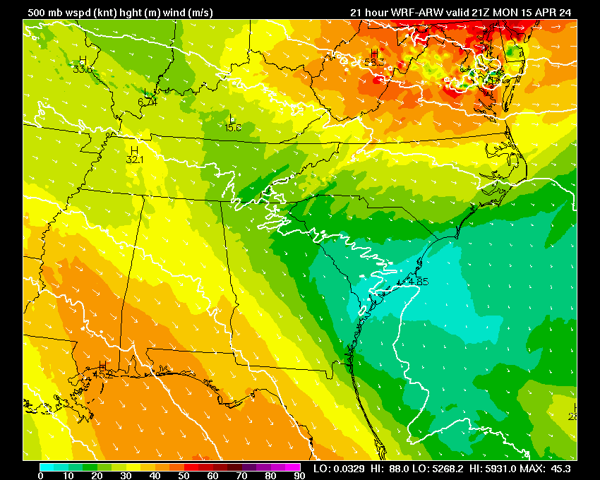
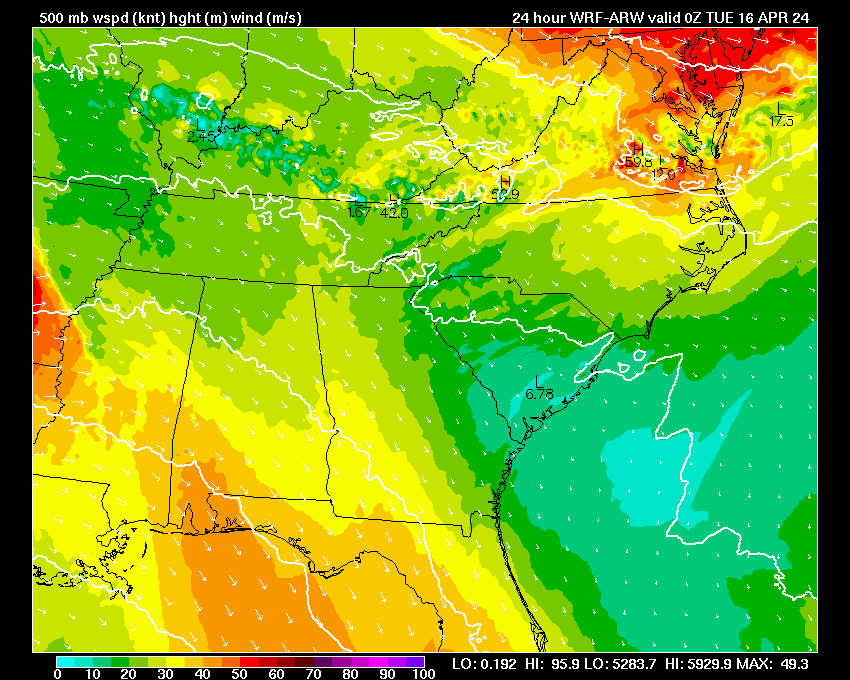
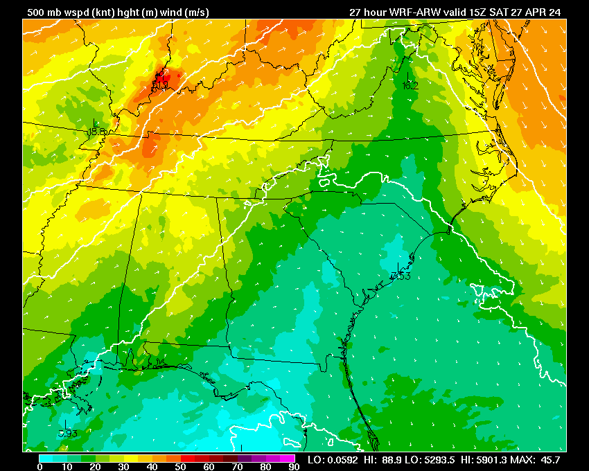
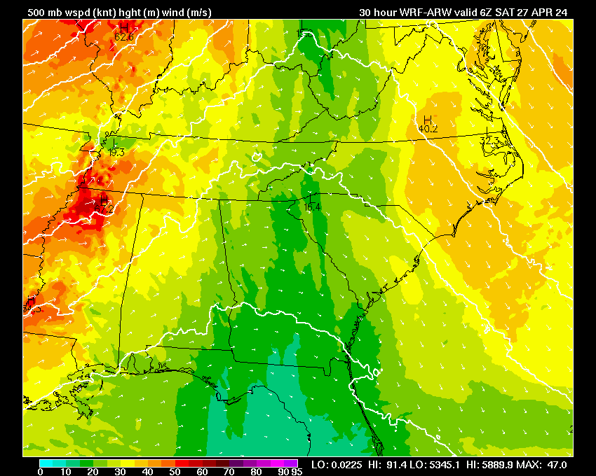
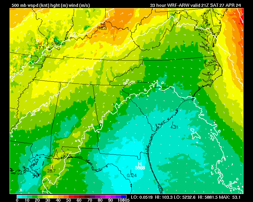
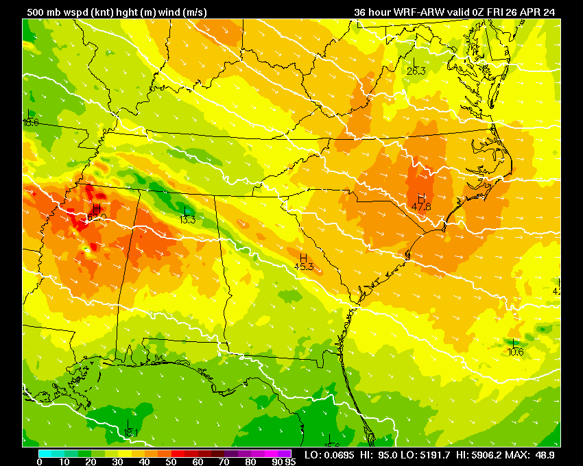
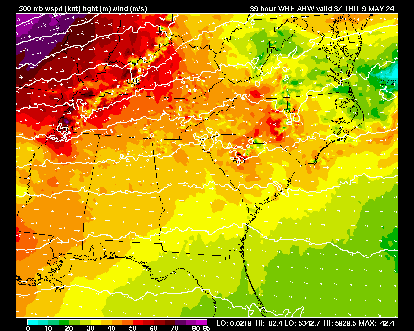
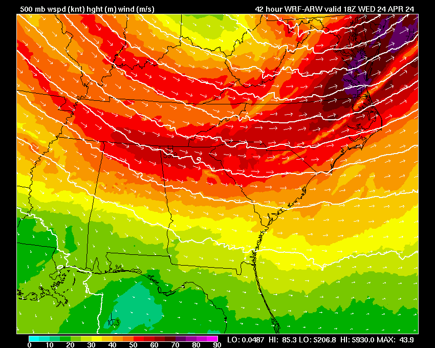
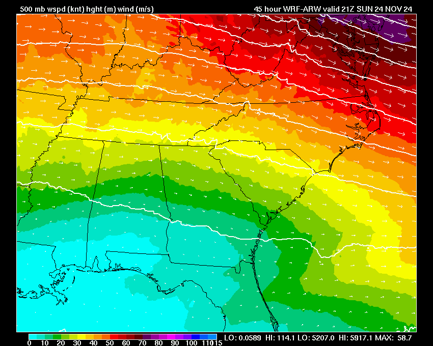
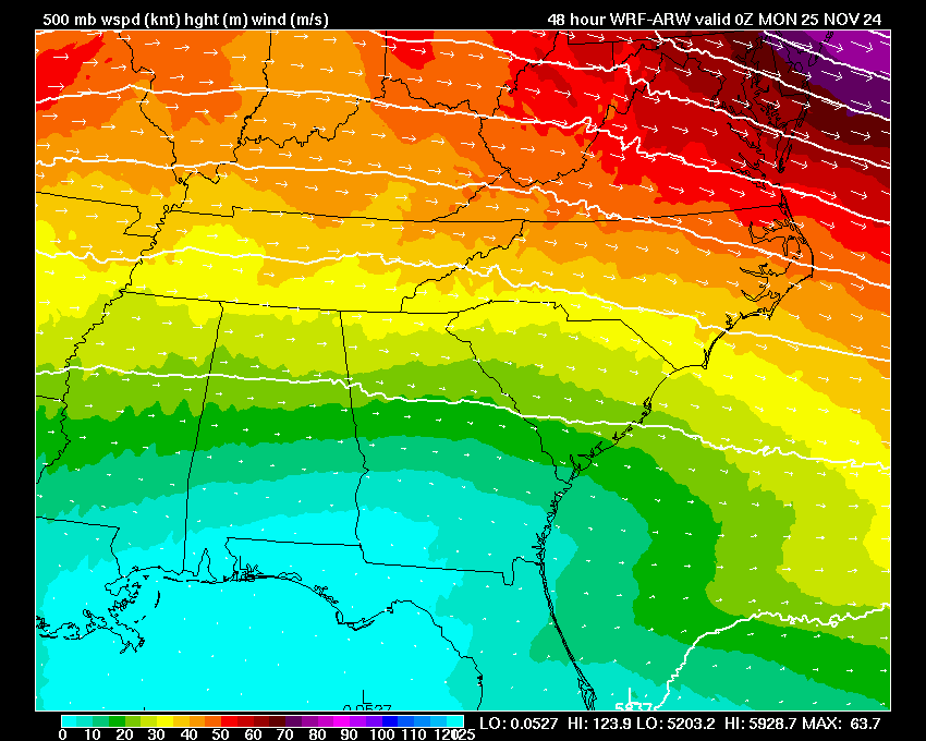
| 500 mb Heights & Vorticity | 03 | 06 | 09 | 12 | 15 | 18 | 21 | 24 | 27 | 30 | 33 | 36 | 39 | 42 | 45 | 48 | |
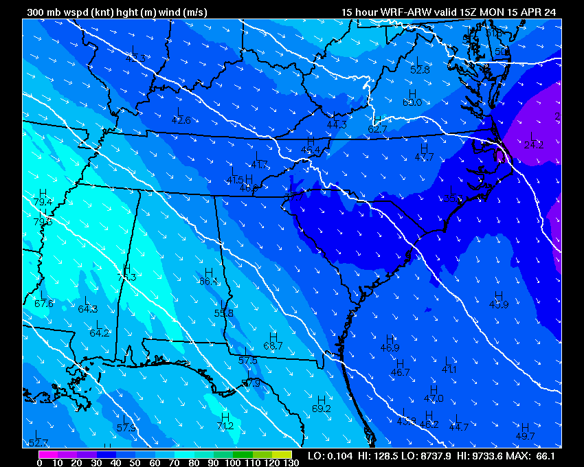
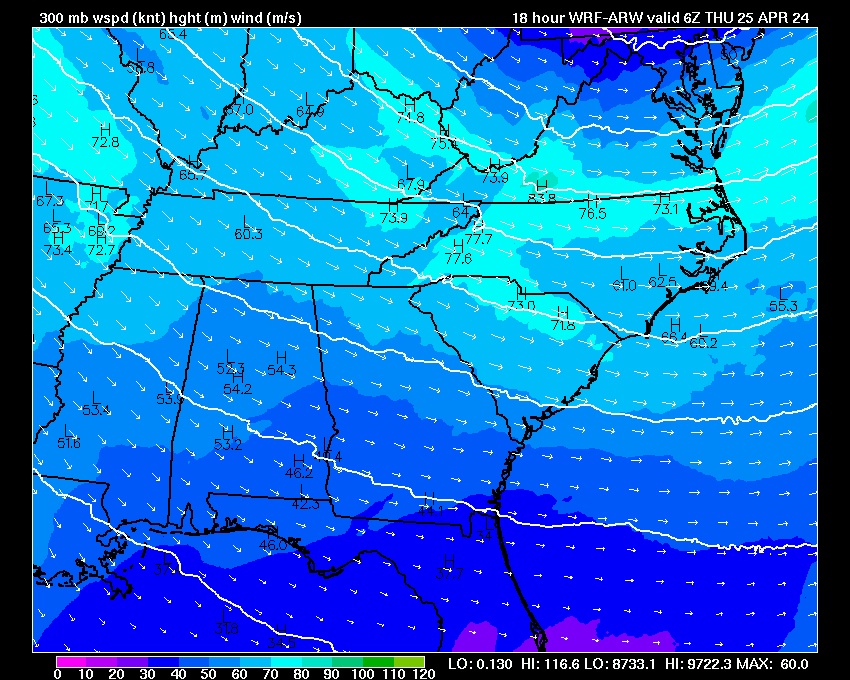
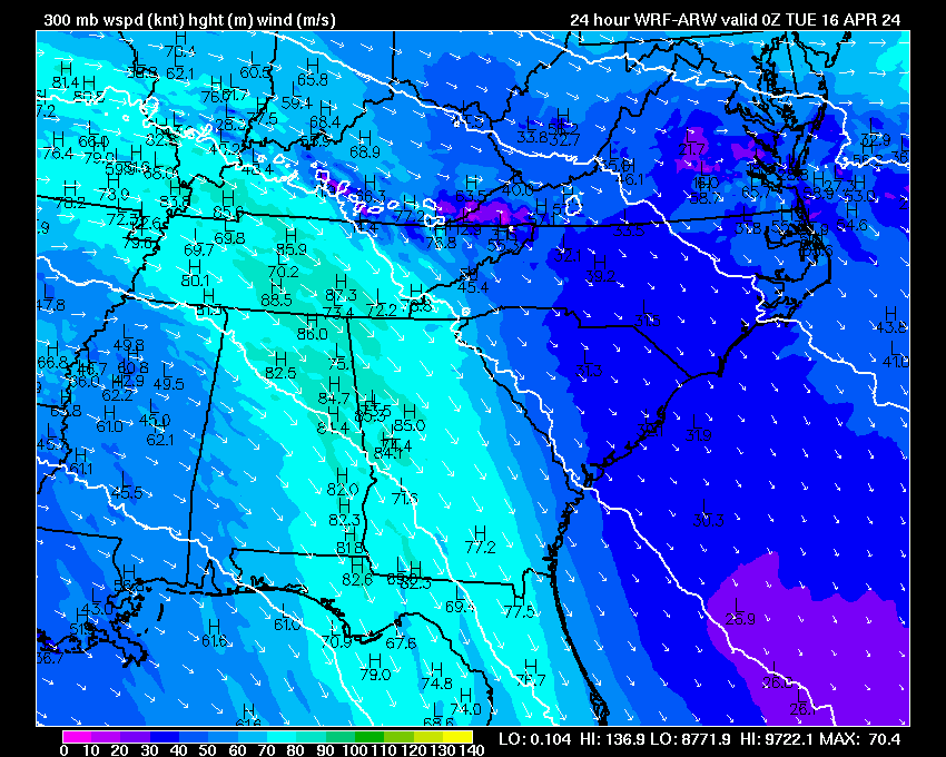
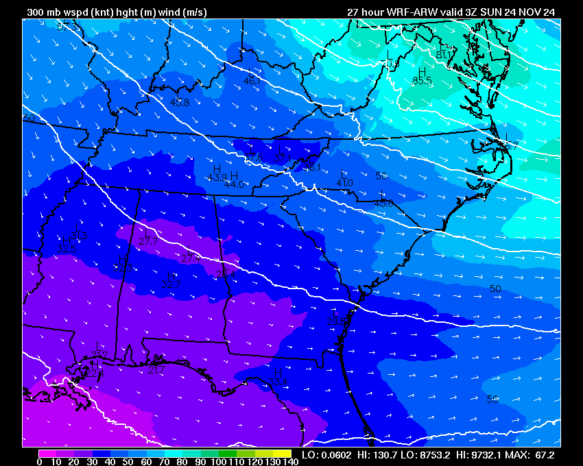
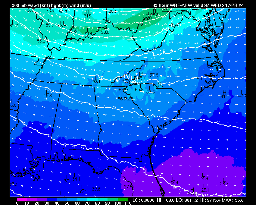
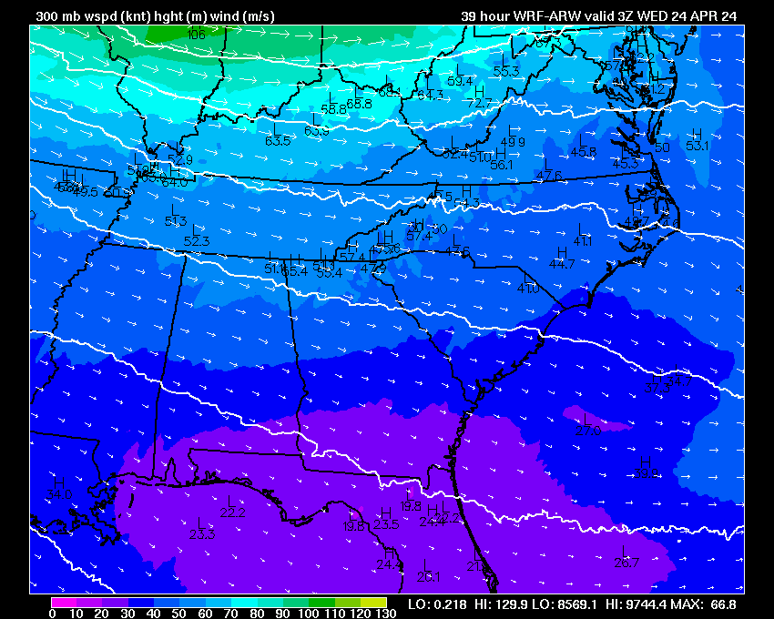
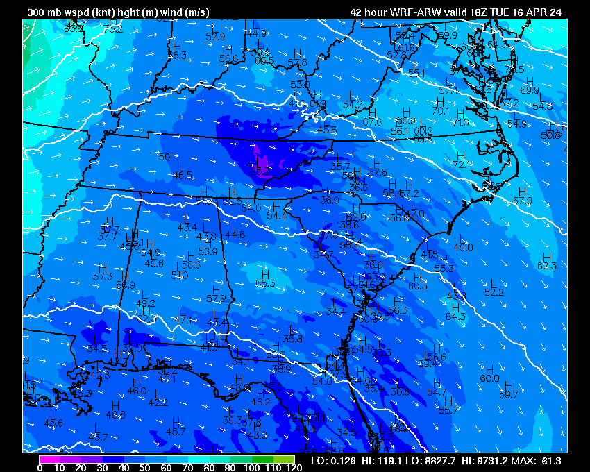
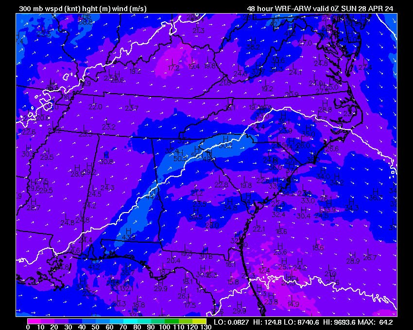
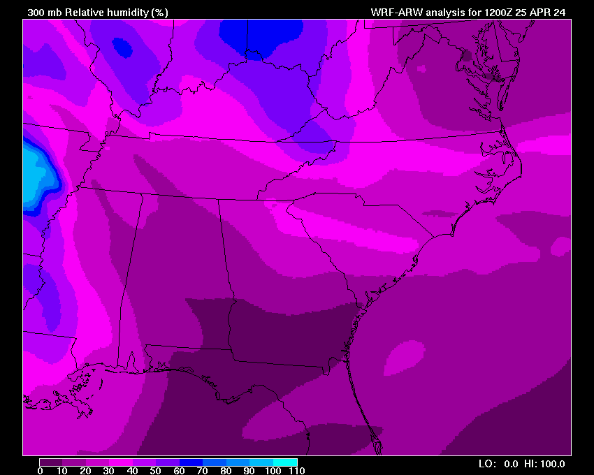
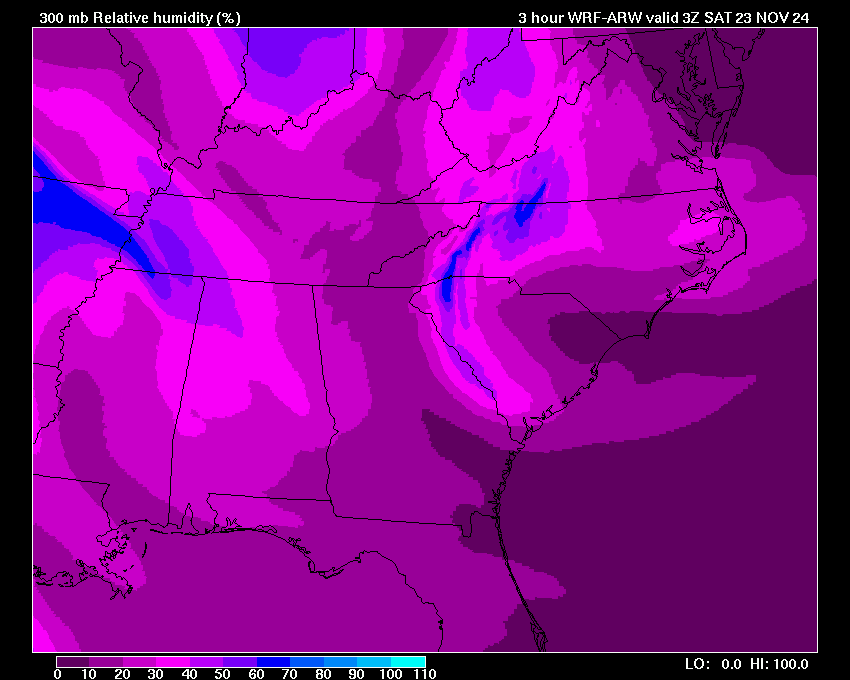
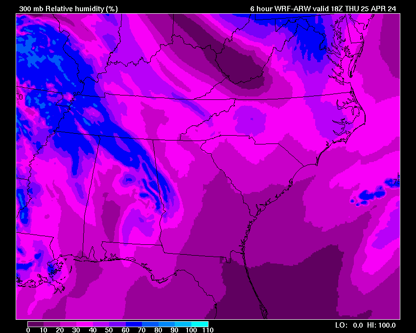
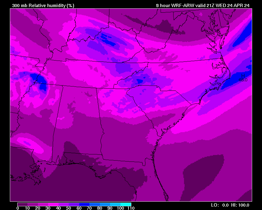
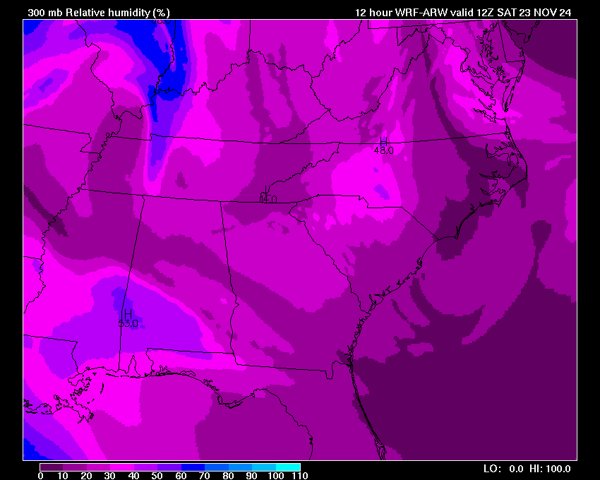
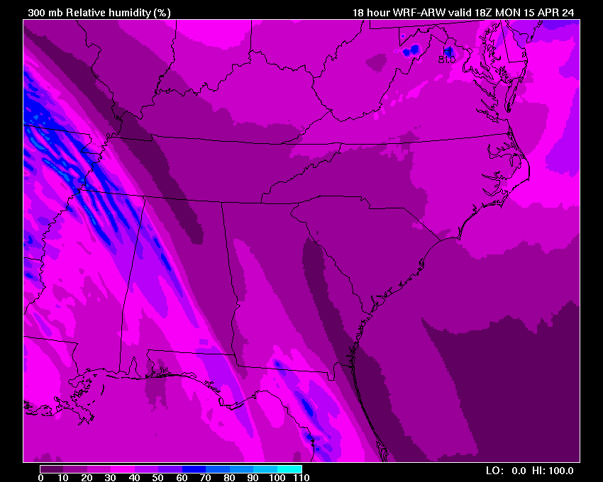
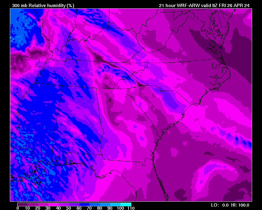
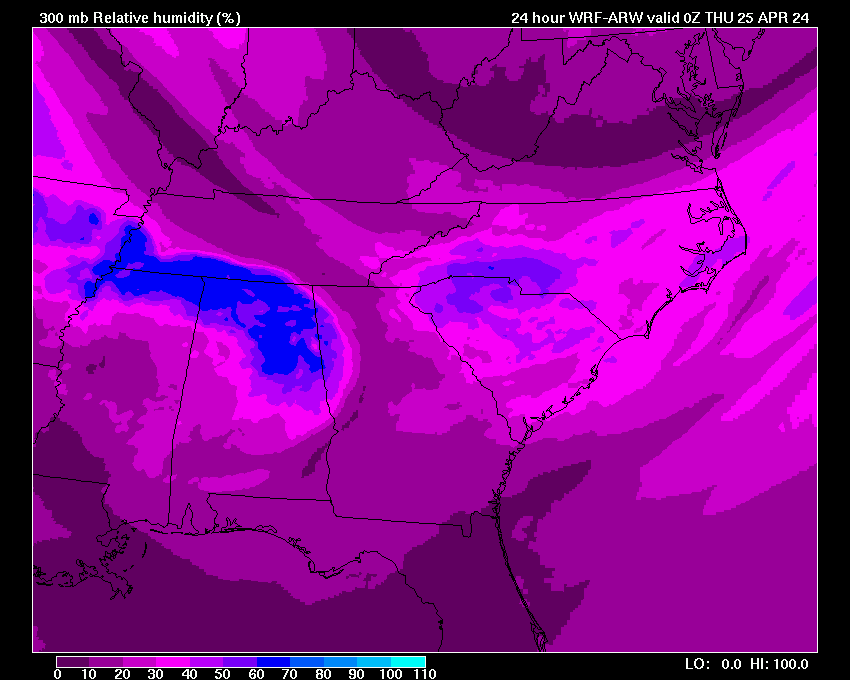
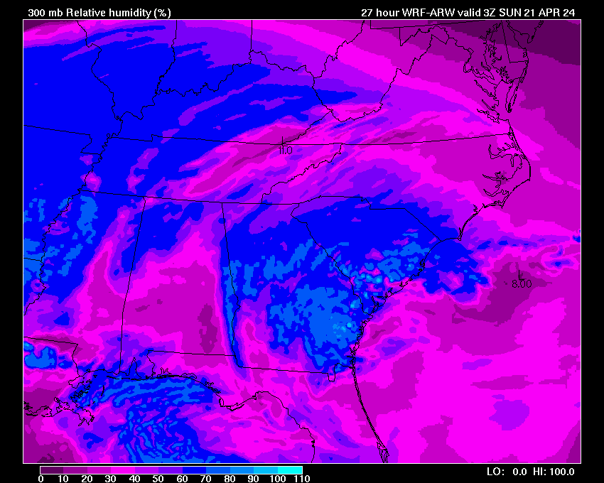
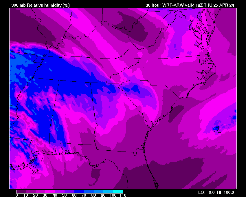
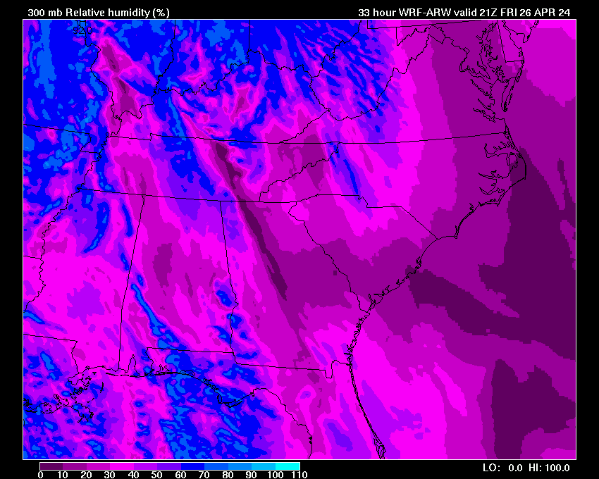
| 300 mb Heights & Winds | 03 | 06 | 09 | 12 | 15 | 18 | 21 | 24 | 27 | 30 | 33 | 36 | 39 | 42 | 45 | 48 | |
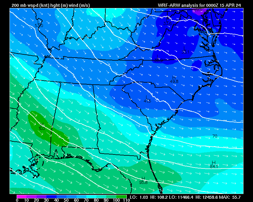
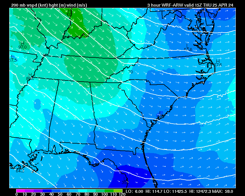
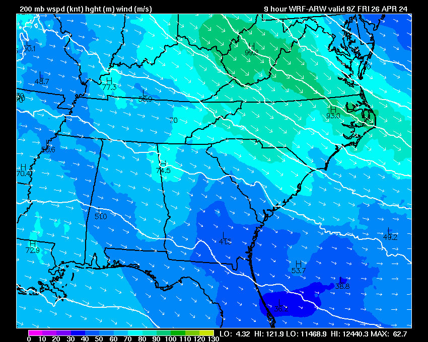
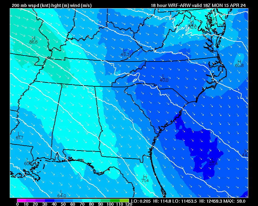
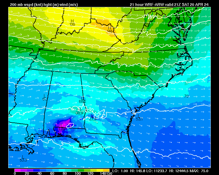
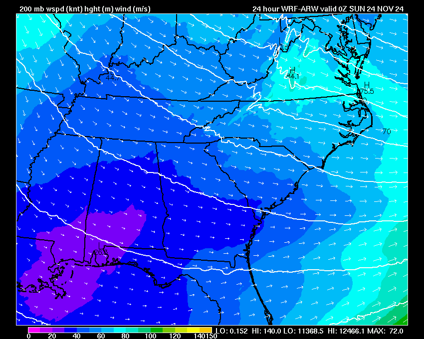
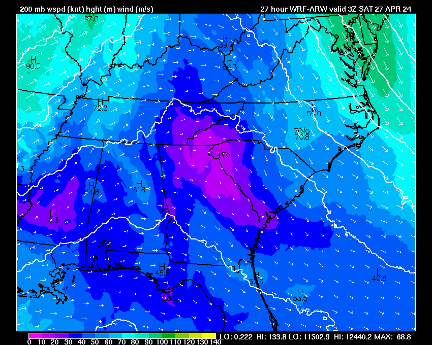
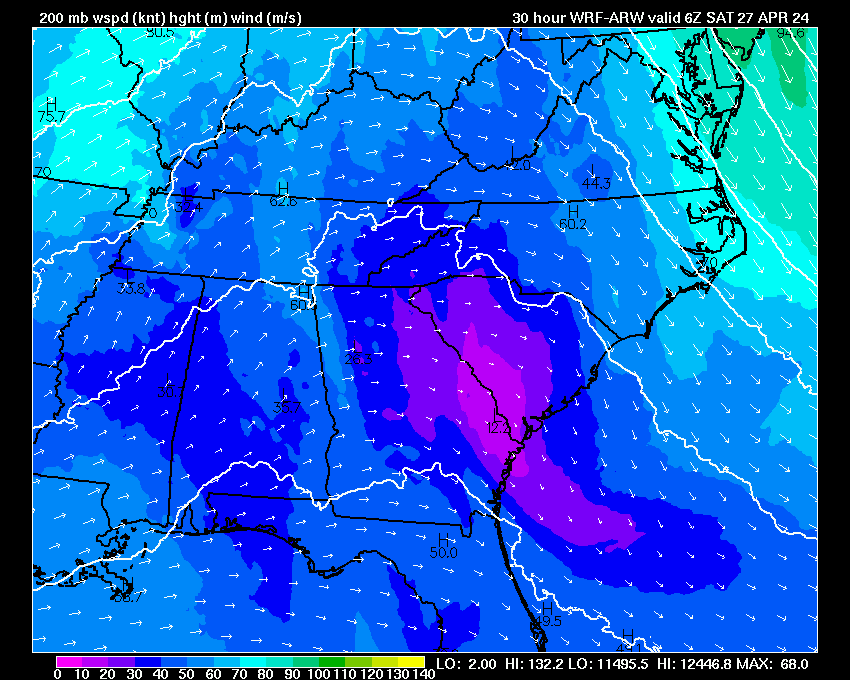
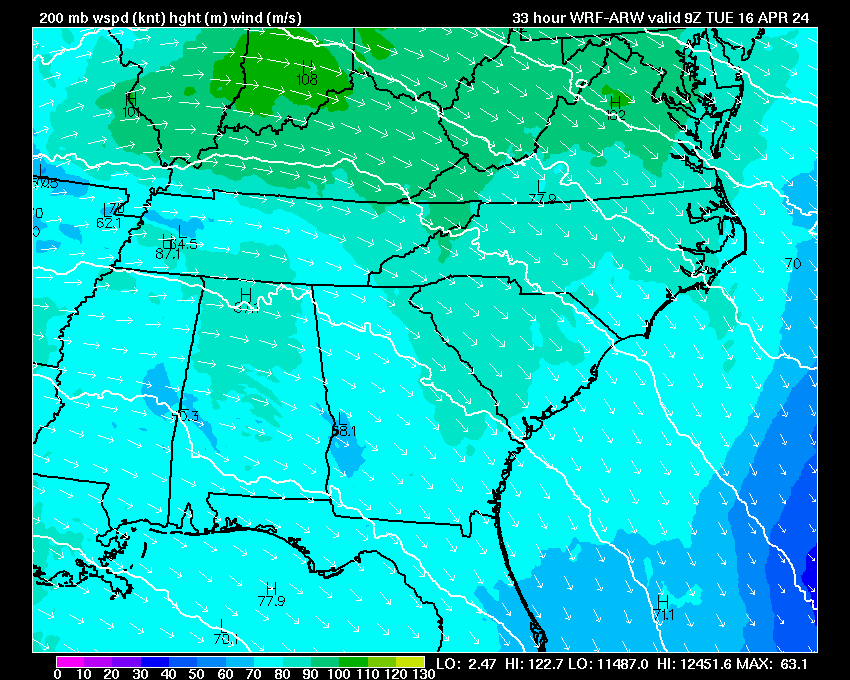
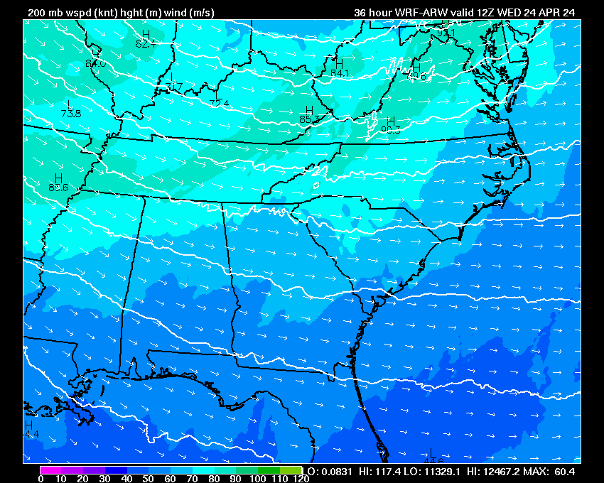
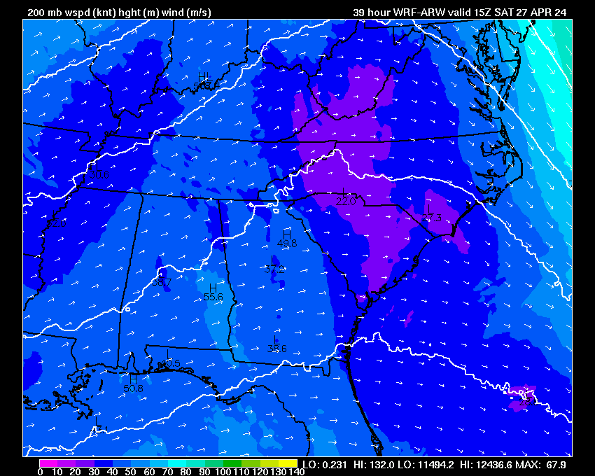
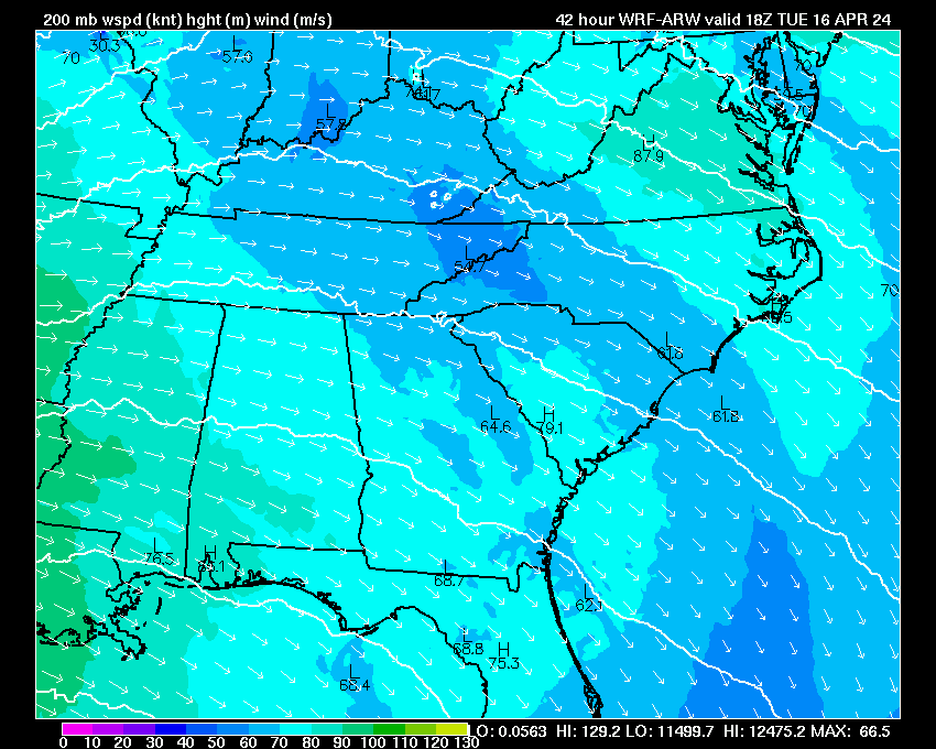
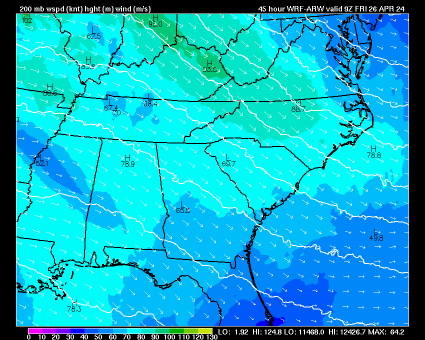
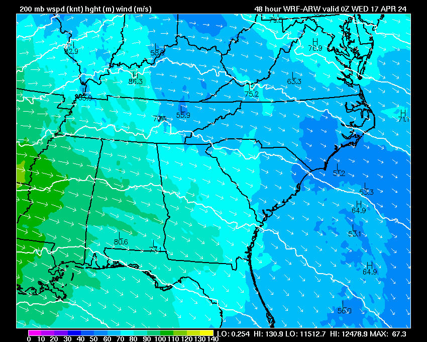
| 200 mb Heights & Winds | 03 | 06 | 09 | 12 | 15 | 18 | 21 | 24 | 27 | 30 | 33 | 36 | 39 | 42 | 45 | 48 | |
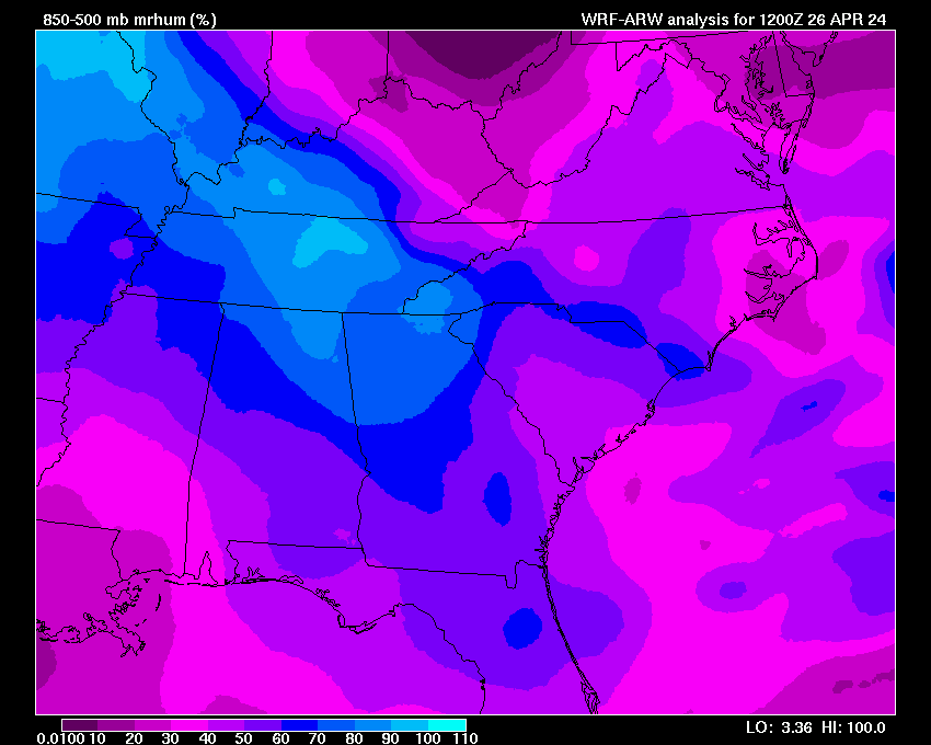
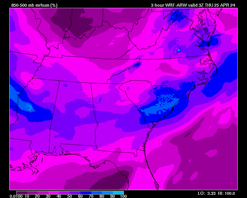
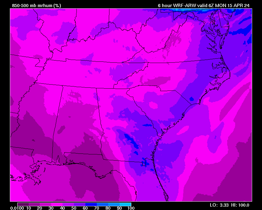
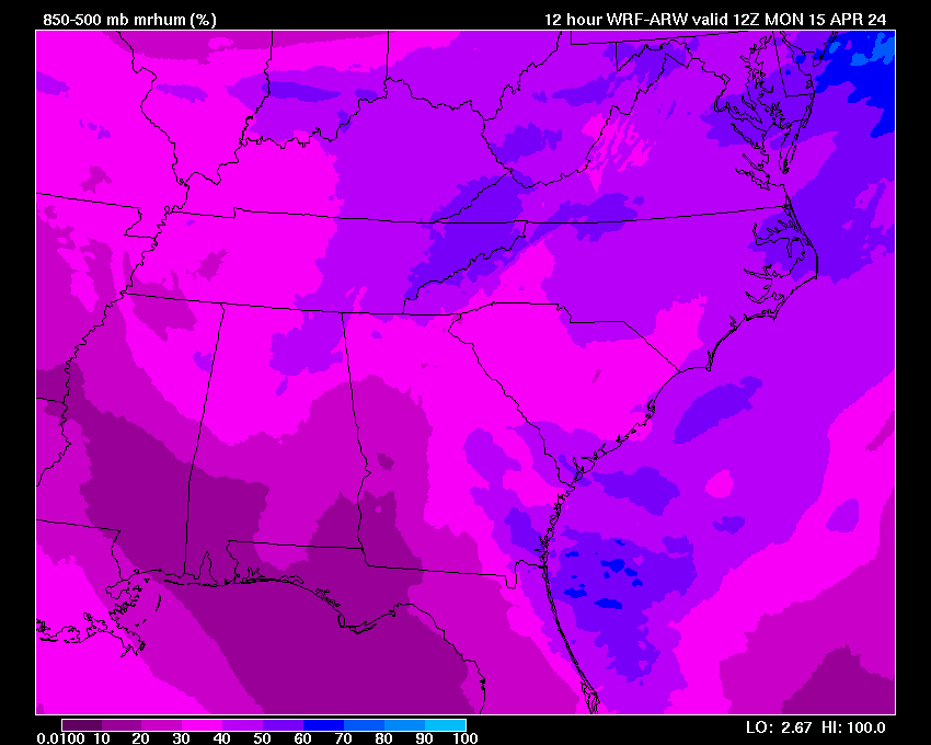
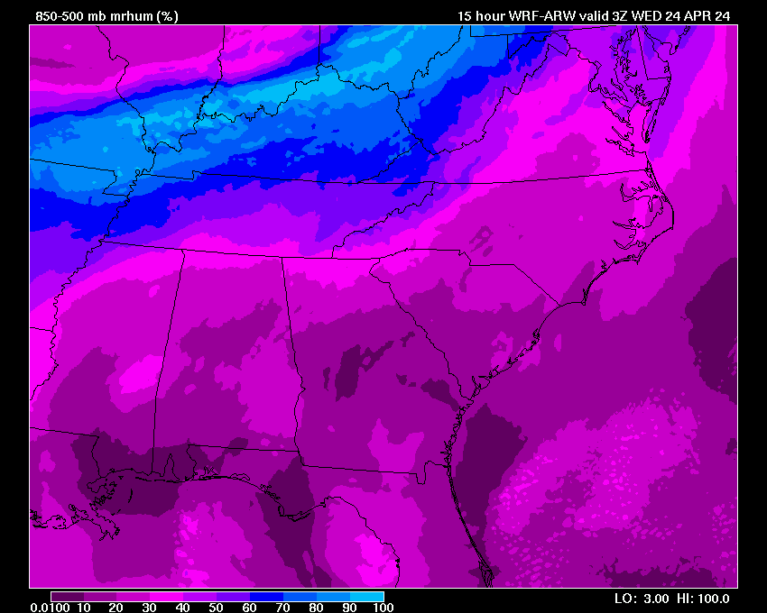
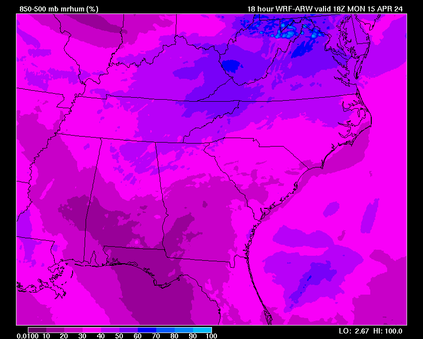
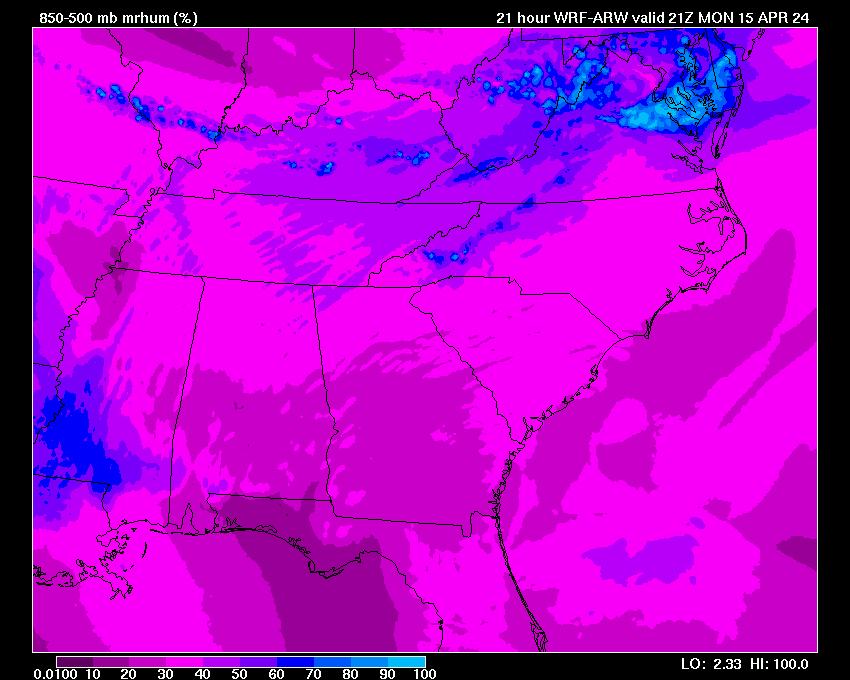
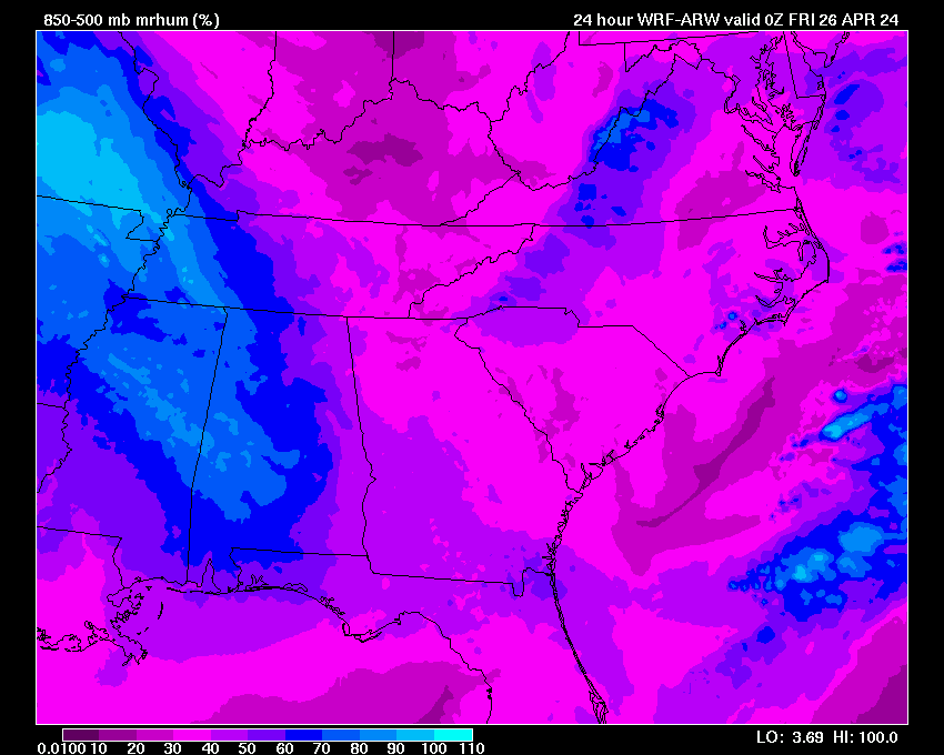
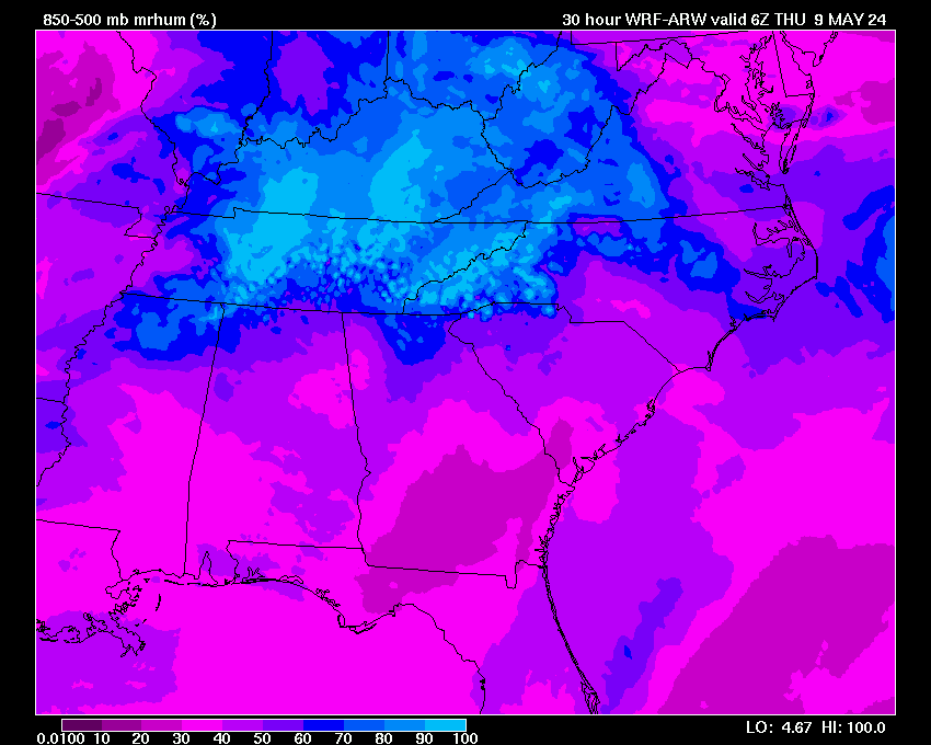
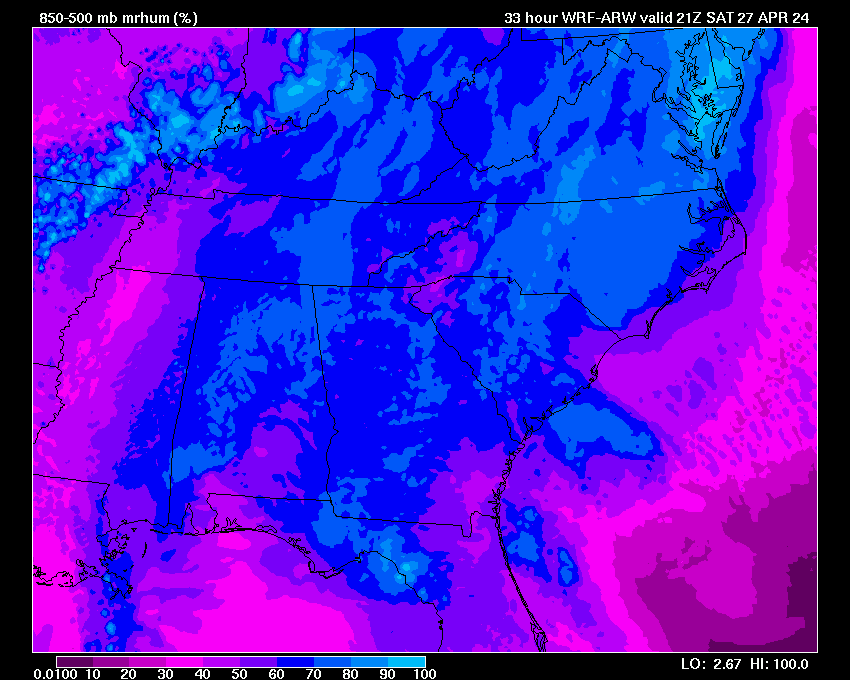
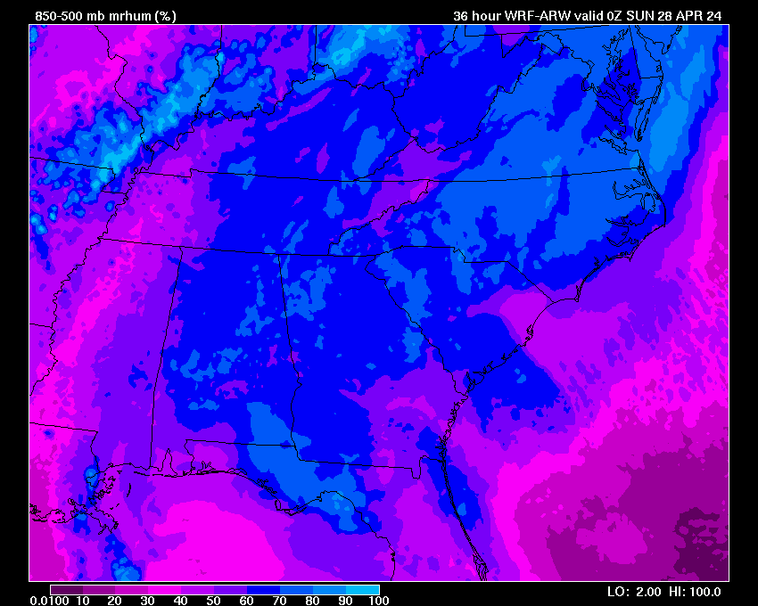
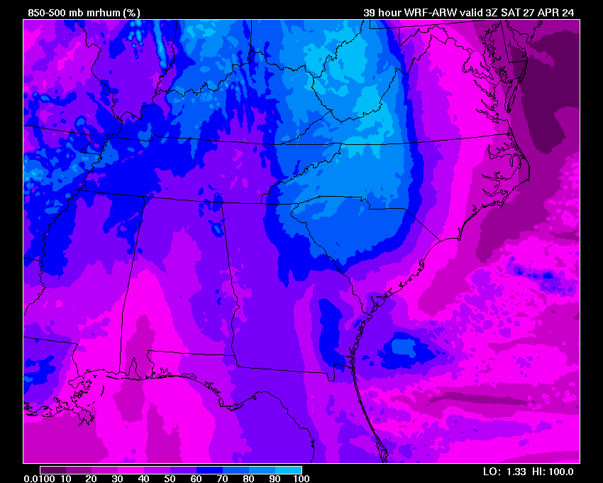
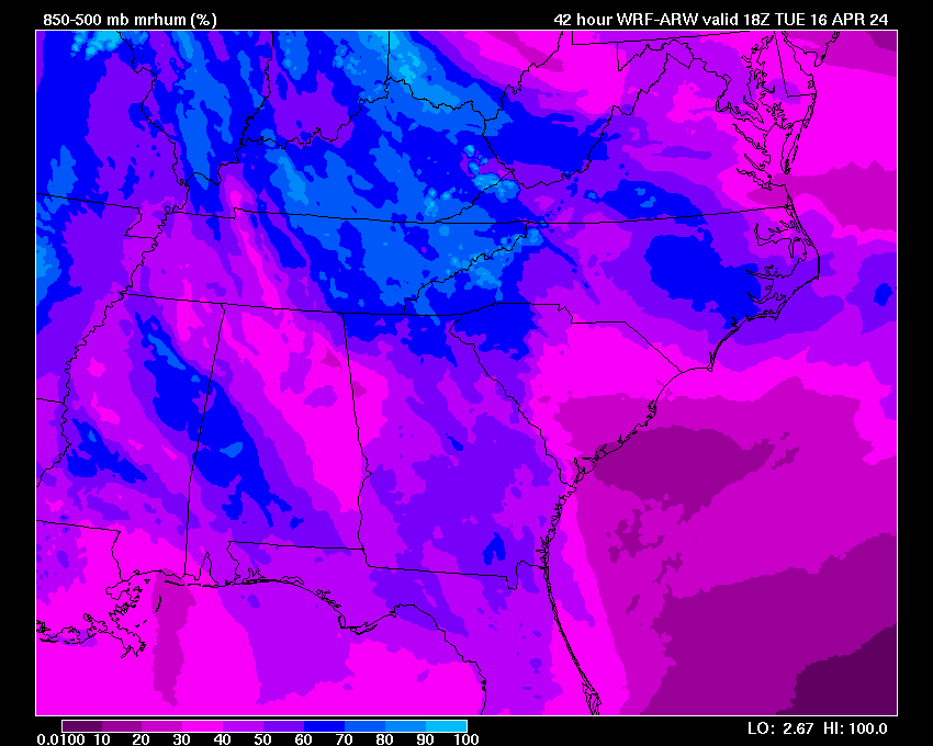
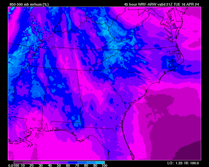
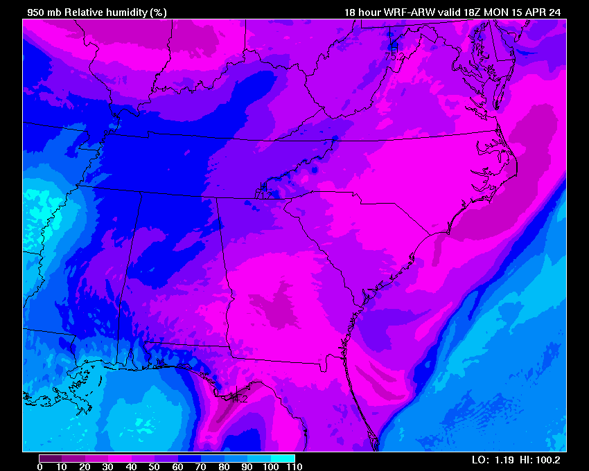
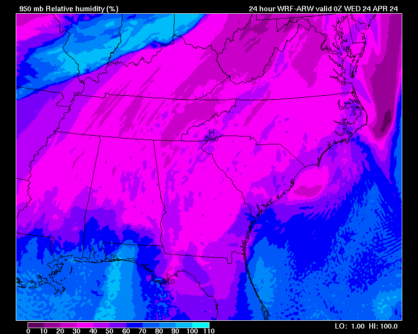
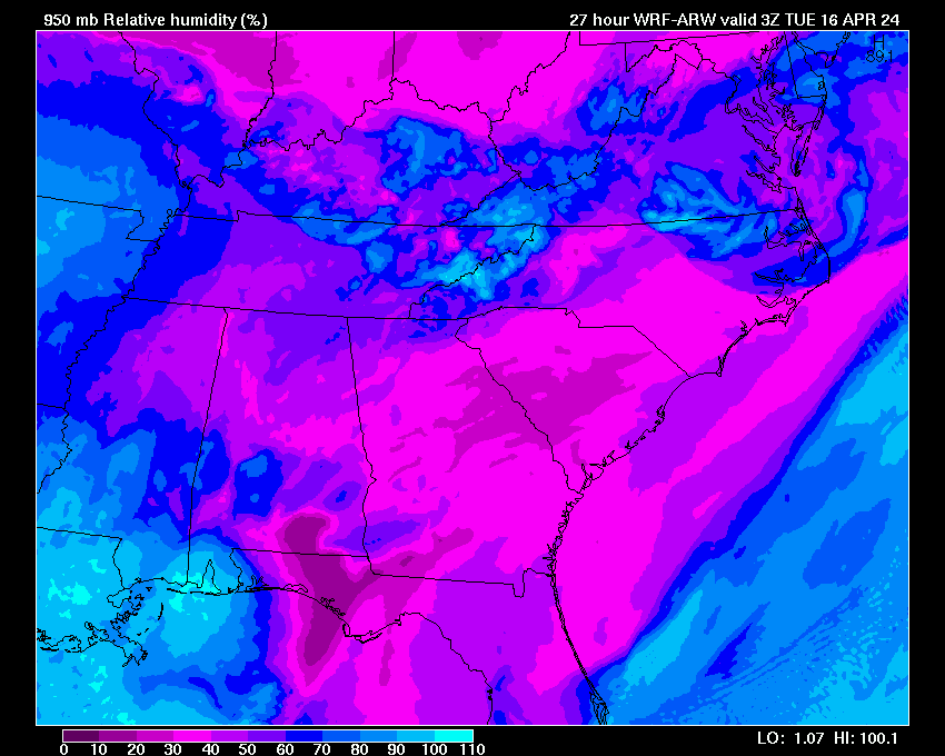
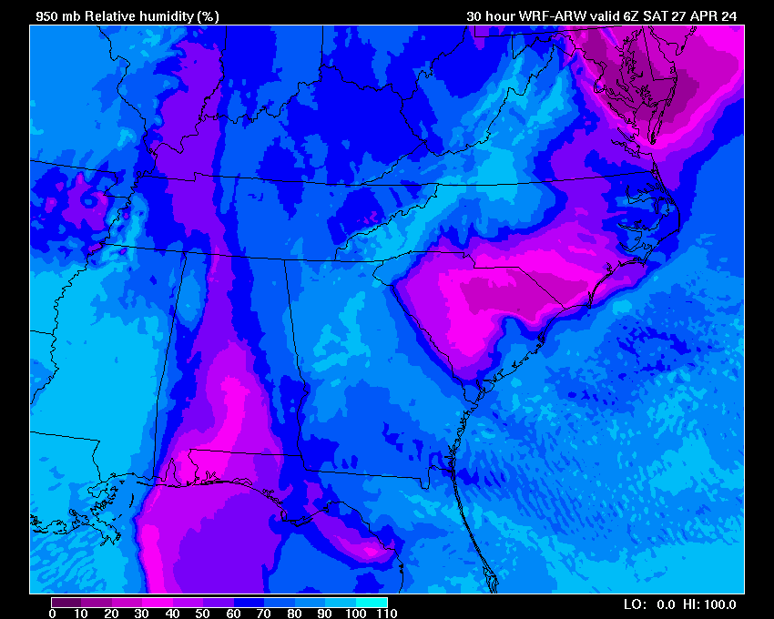
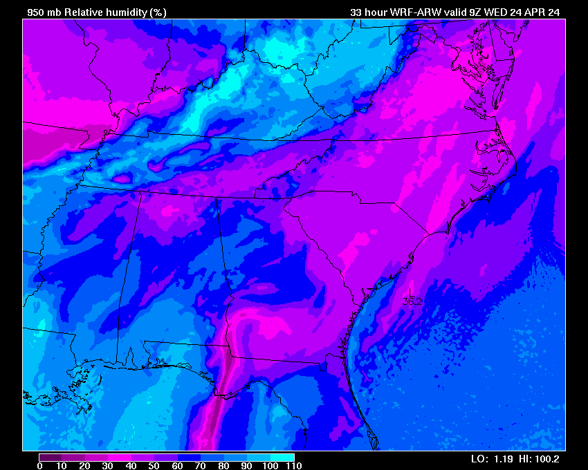
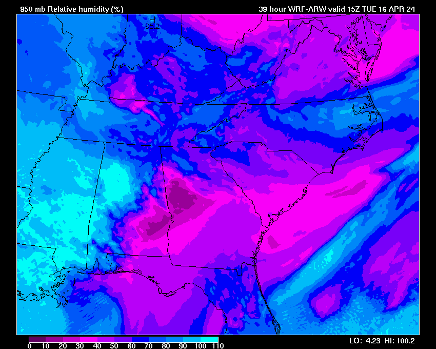
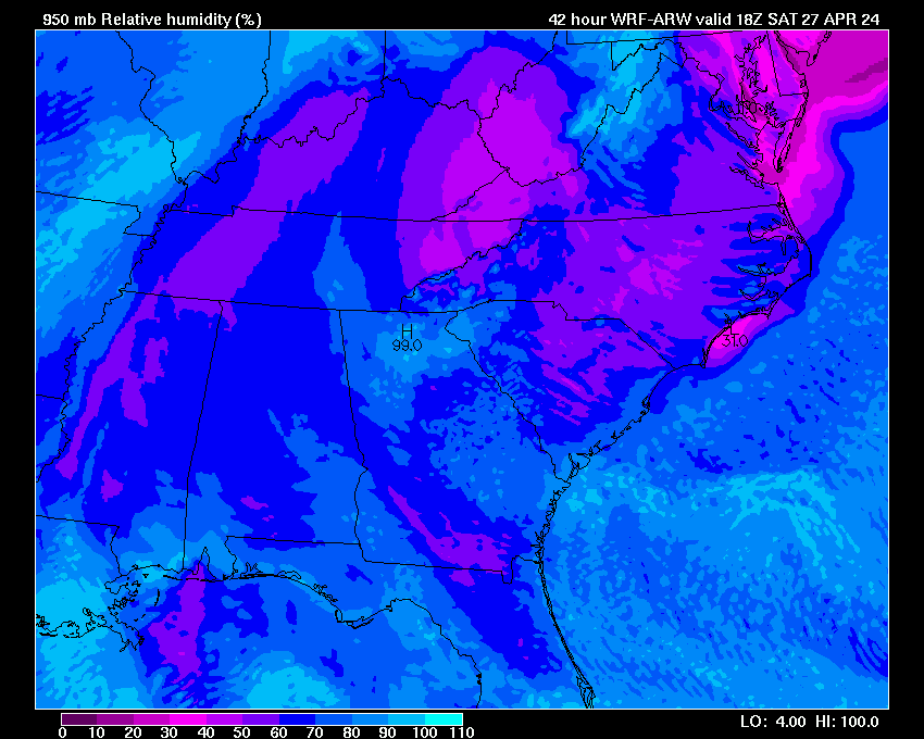
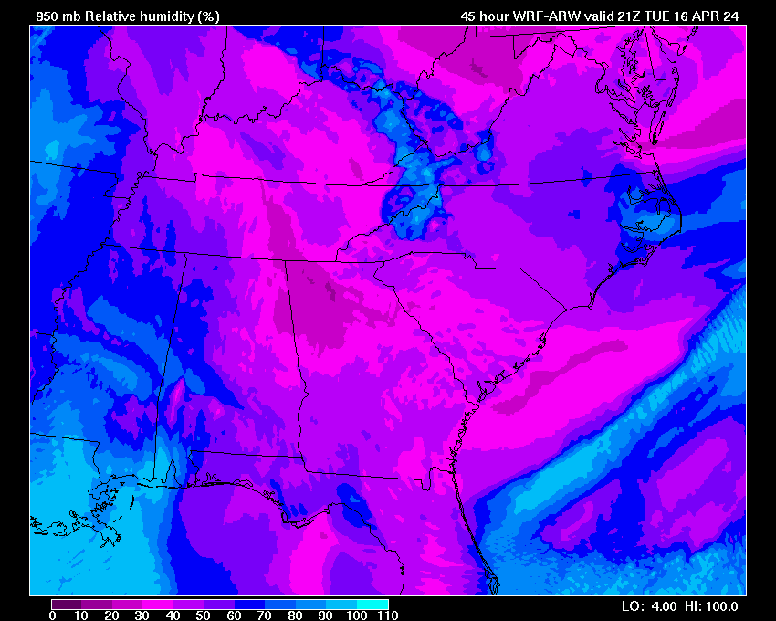
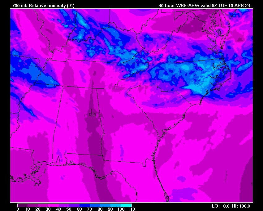
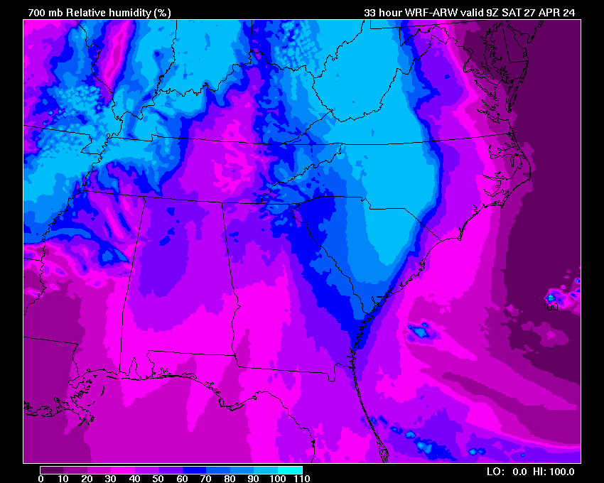
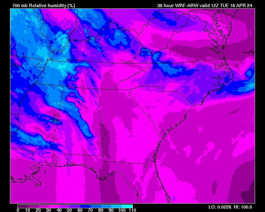
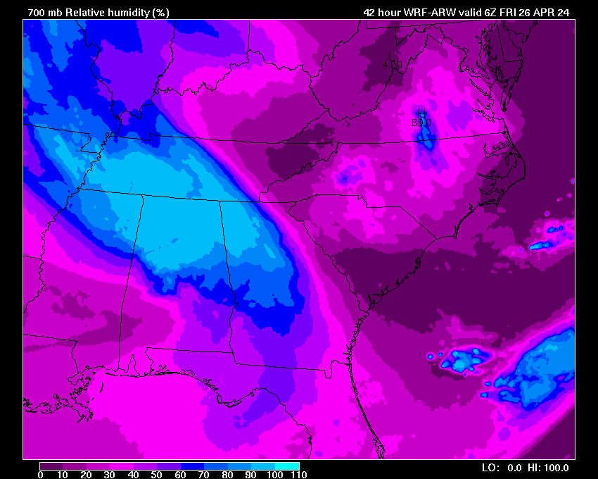
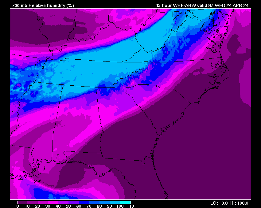
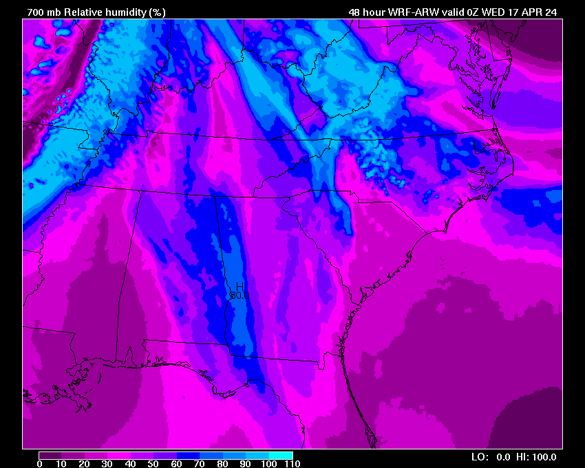
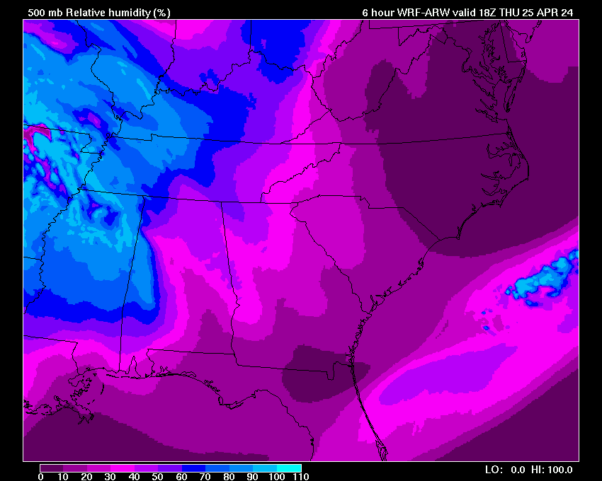
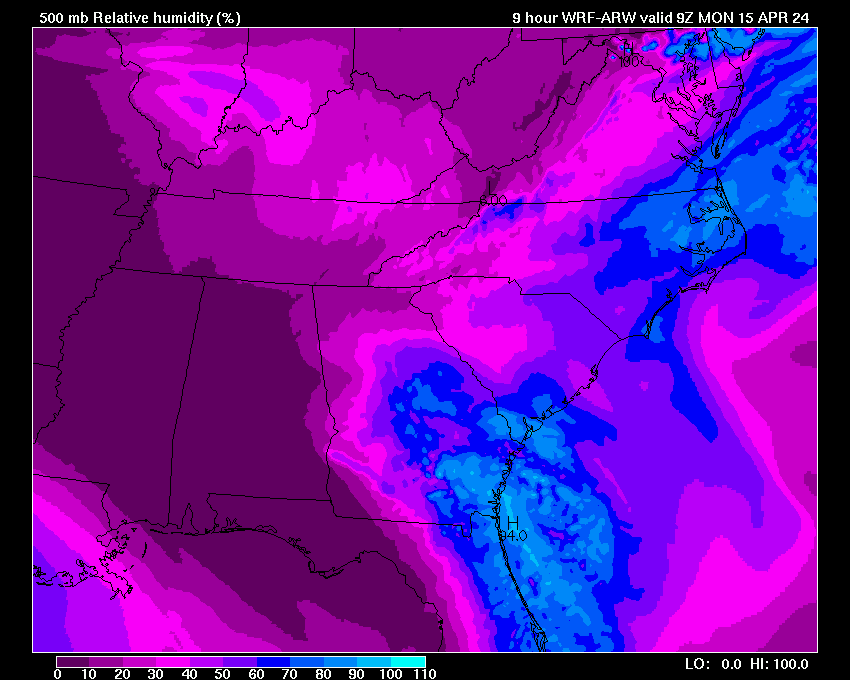
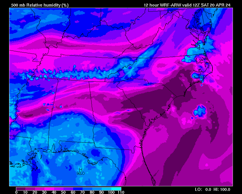
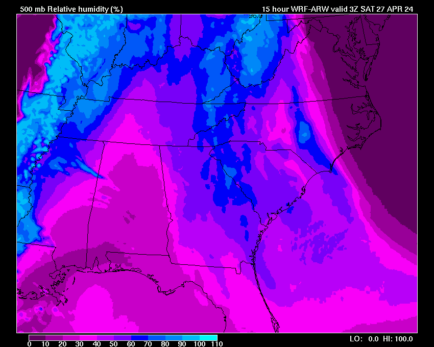
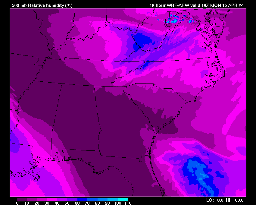
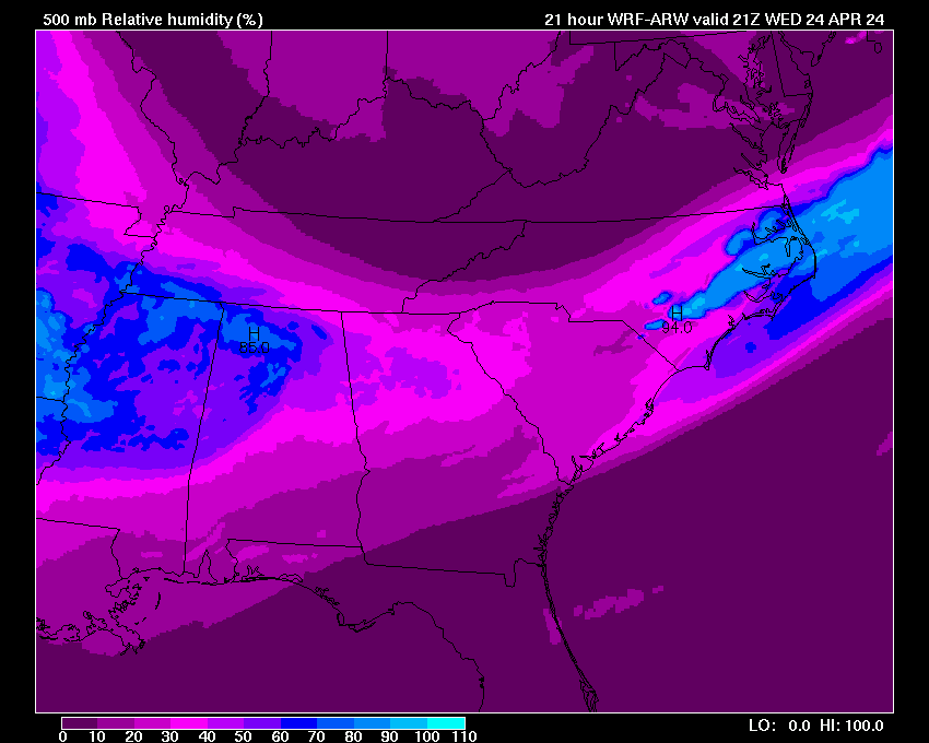
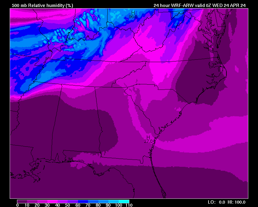
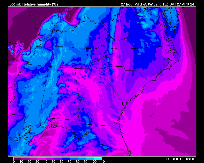
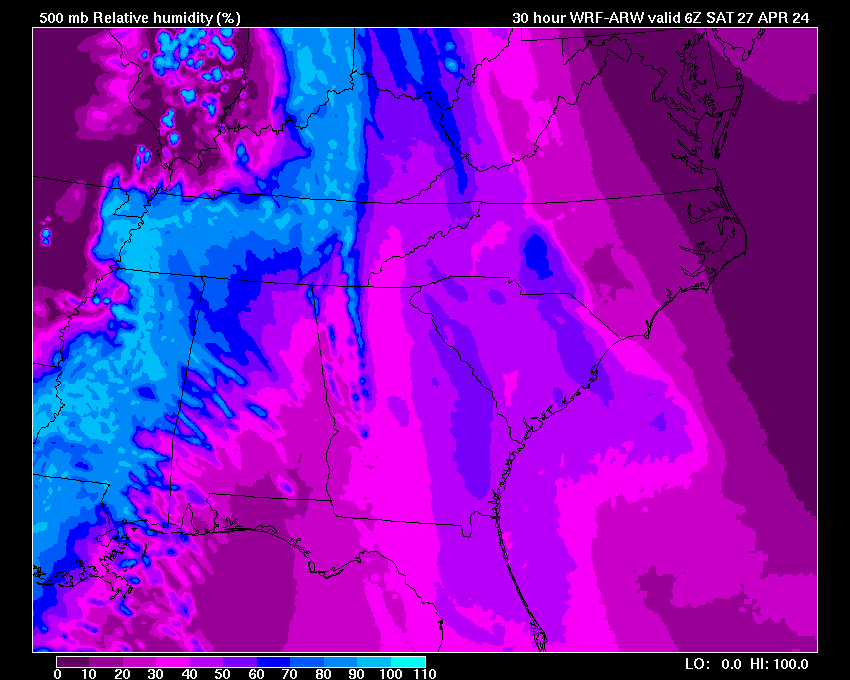
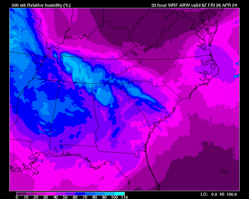
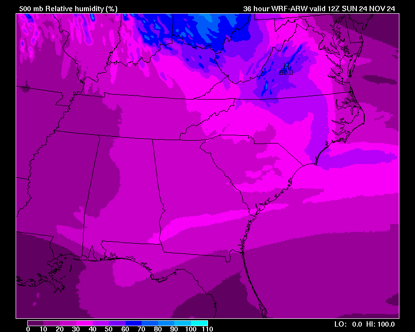
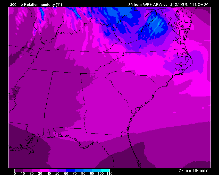
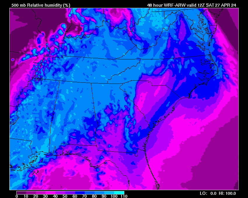
| 850-500 mb RH | 03 | 06 | 09 | 12 | 15 | 18 | 21 | 24 | 27 | 30 | 33 | 36 | 39 | 42 | 45 | 48 |